Special Avalanche Bulletin
DANGEROUS AND UNUSUAL AVALANCHE CONDITIONS WILL LAST THROUGH AT LEAST THIS WEEKEND. HEAVY SNOWFALL THIS PAST WEEK HAS CREATED DANGEROUS AVALANCHE CONDITIONS AT ALL ELEVATIONS. DON'T BE LURED BY THE BEAUTIFUL SUNNY SKIES AND FRESH POWDER INTO THINKING AVALANCHE CONDITIONS ARE SAFE WHEN THEY ARE NOT.
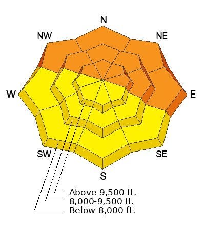
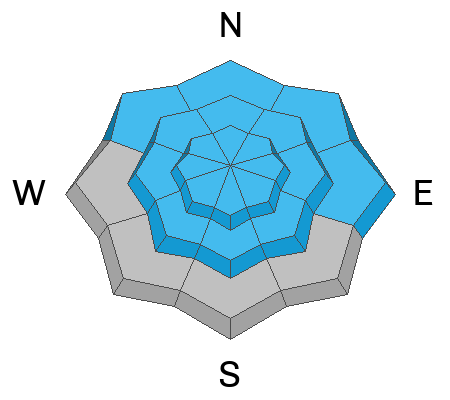
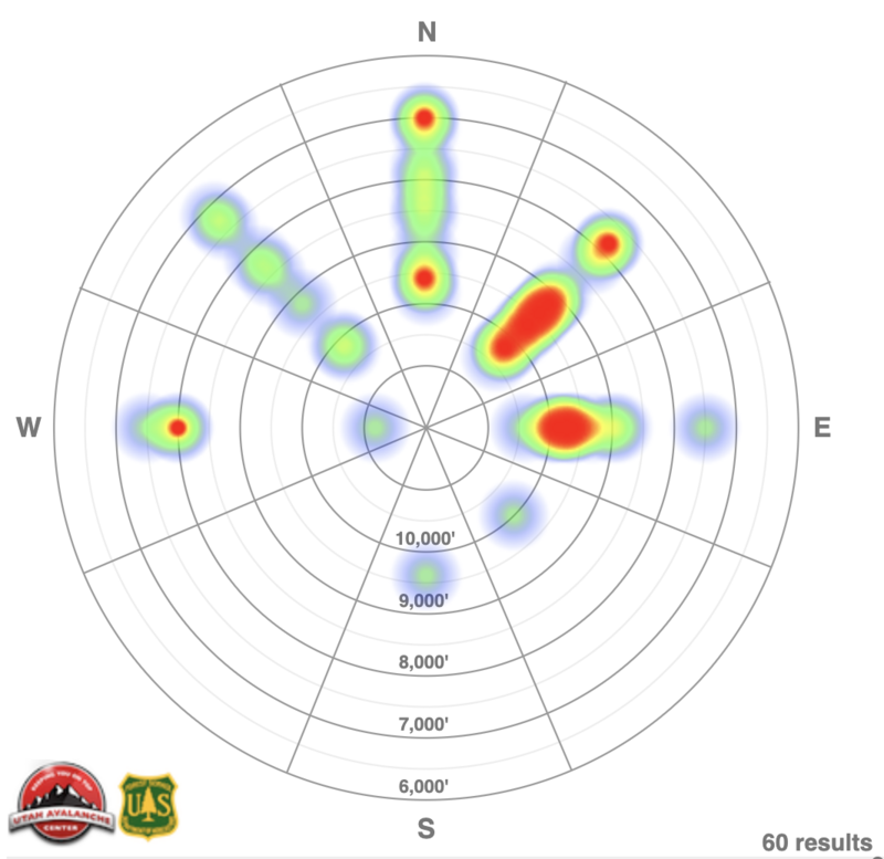
DO NOT TRAVEL ON, UNDERNEATH, OR ADJACENT TO SLOPES 30 DEGREES OR STEEPER ON SLOPES FACING NORTHWEST, NORTH, NORTHEAST, AND EAST WHERE TRIGGERING LARGE AND DANGEROUS AVALANCHES IS LIKELY. THIS INCLUDES LOW-ELEVATION FOOTHILLS WHERE AVALANCHES CAN OCCUR NOT FAR FROM PARKING AREAS AND TRAILHEADS.
Park City Mountain Resort is planning on opening the Jupiter Lift area this weekend. Please avoid the Scott's and Pinecone areas for the rest of the season.
Skies are clear. Under a building inversion, mountain temperatures are in the upper teens up high, the single digits down low. Winds are westerly, blowing 15mph with gusts to 20mph. Riding conditions are nothing short of sublime although solar aspects will have a thin crust this morning before it thaws. Nit-pickers will complain of a bit of wind damage up high.
WOW, what a storm. Snow on the ground now sits at 85" in upper LCC, 60" in upper BCC, and 40-50" along the PC ridgeline.
Snowfall totals since Sunday night include:
- Cottonwoods: 2.5' - 6' snow containing 1.5" - 2.75" SWE (snow water equivalent)
- Park City: 1.5' - 3' snow containing 1" - 1.5" water SWE
For today, we'll have sunny skies with light westerly winds. Temperatures will warm to the low to mid-20s. For the outlook, we'll be under a zonal (westerly) then cool northwest flow with embedded disturbances through the week. We may pick up a few inches with a mid-week storm.
Get caught up in significant weather and avalanche activity over this past week by reading our
Week in Review.
THERE WERE THREE SIGNIFICANT AVALANCHE ACCIDENTS THIS WEEK with serious injuries. Two injured parties required rescues. The avalanches broke down over 2' deep into the layer of November facets. These avalanches occurred at low elevations below 8,000':
Tuesday - Pink Pine Ridge 7,800' North-facing 2-3' deep, 60' wide.
FINAL REPORT. UAC staff visited the area on Wednesday, but due to avalanche danger, chose not to approach the avalanche.
Friday, December 9, an
avalanche accident on Santaquin Peak in the Provo mountains that failed in the persistent weak layer of faceted snow also involved serious injuries. The avalanche was 1-2' deep and 600' wide.
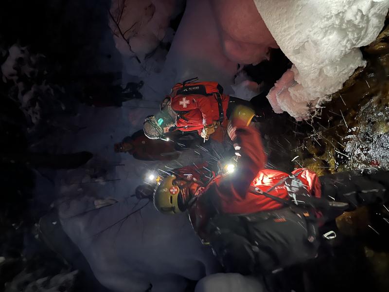
(rescue from Pink Pine, pc: Wasatch Backcountry Rescue)
Skiers descending south on Lone Peak triggered some shallow soft slabs of wind drifted snow on steep rollovers at 9600' yesterday.
Avalanche control work along the southern part of the PC ridgeline triggered two sizeable hard slab avalanches failing on our PWL. They were on steep east and northeast facing slopes at 9500' and 9300', respectively and 1-4' deep. The largest was 250' wide.
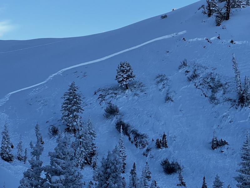
On Friday, near Grandview Peak, a snowmobiler remotely triggered (triggered at a distance) a soft slab failing on our PWL (persistent weak layer) of weak faceted grains. The avalanche was on a steep northeast facing aspect at 9200' with estimated dimensions of 2' deep and 300' wide. (photo below). Mark Staples rode up to investigate and his report yesterday is
HERE>

