Forecast for the Salt Lake Area Mountains

Greg Gagne
Issued by Greg Gagne for
Tuesday, March 5, 2019
The day begins with a generally Low hazard, which will rise to Moderate as the day warms where wet, loose avalanches are possible on solar aspects as well as on all aspects at the lower elevations. Increasing westerly winds will create pockets of fresh wind drifts on upper elevation aspects facing north through southeast. Sluffing in the dry loose snow remains possible on steep northerly slopes at the mid and upper elevations. A very warm, wet, and windy storm will raise the avalanche hazard over the next few days.
Low
Moderate
Considerable
High
Extreme
Learn how to read the forecast here
Special Announcements
Join Drew Hardesty at 7PM on Wednesday, March 6 at Rocksteady Bodyworks in Holladay for an interactive discussion on the State of the Snowpack. IF you plan on attending, there's required reading beforehand.
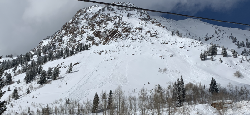
Ok it's not required, but it's helpful. LOW Danger Chapter 1, Chapter 2, Chapter 3, Chapter 4. You can find them all under our Blog page in the Menu above. Extra thanks to Derek Debruin, Russ Costa, and Laura Maguire.
The latest podcast is out. In this episode, we sit down with Ian McCammon. Ian has done as much for the avalanche community as nearly anyone over the past 20 years and recently received the highest award given by the American Avalanche Association. Tune in -
Weather and Snow
Currently: Temperatures range throughout the teens F. and winds are westerly and generally light, averaging less than 10 mph with gusts in the teens. Gusts are in the 20’s mph at the upper-most elevations.
Today: Skies will become partly to mostly cloudy, with increasing winds, especially by later in the day. Temperatures will rise into the 30's at low and mid elevations, and mid to upper 20's F at the upper elevations. Winds will be out of the southwest, and generally light through midday. But will begin to increase this afternoon, averaging in the teens with gusts in the 20's. Strong winds with snow developing overnight, with a rain snow line initially between 7000' and 7500'.
This Week: Warm, wet, and windy. Heavy dense snow on a southwest flow through Thursday. Upwards of 1-2' of snow is possible, containing about 2" of water. (It's possible the models are under-forecasting water amounts.) A brief break around Friday with a colder storm early in the weekend. The pattern generally looks favorable through at least the next 7-10 days with a series of systems moving through from time to time, with no dominant ridges of high pressure. March is, after all, our wettest month!
Recent Avalanches
There was wet loose avalanching yesterday afternoon on steep aspects at the lower and mid elevations facing south and west, notably south-facing Mount Superior (observation) [picture Nason]
Although less sensitive than on Sunday, dry, loose avalanches were also reported on steep mid and upper elevation northerly (that is shady) slopes. Longtime Wasatch skier Larry Dunn has a nice observation from Kessler Peak in Big Cottonwood (observation) describing dry loose snow, and pro observer Mark White has his usual excellent observation where he saw both wet and dry loose avalanches in the upper Cottonwoods.
Ad
Avalanche Problem #1
Wet Snow
Type
Location
Likelihood
Size
Description
Warming temperatures today will generate the usual round of wet loose activity on steep solar aspects facing southeast through west. Cold, dry snow on northerly aspects at the low elevations may also become active if it dampens from greenhousing (where cloud cover traps warming). Any loose, wet avalanches will be both skier-triggered as well as natural. With so much snow in starting zones on all aspects, be sure to avoid being below steeper runouts on southerly aspects and low elevation northerly aspects the snow warms.
Learn more about Dry Sluffs and Wet Sluffs in the Avalanche Problem Toolbox.
Avalanche Problem #2
Wind Drifted Snow
Type
Location
Likelihood
Size
Description
Winds are forecasted to increase as the day progresses, creating pockets of fresh wind drifts along leeward aspects facing northwest through southeast at the upper elevations. These drifts may be particularly sensitive as they will be forming on top of weaker dry/loose snow that fell late this past weekend.
Cornices remain a significant concern along mid and upper elevation ridgelines. Some cornices overhang the slope 10-20', and increasing winds over the next several days will make them even larger. Stay well back from and avoid traveling underneath corniced ridgelines. Today's sun and warmth may make these cornices more sensitive.
Avalanche Problem #3
New Snow
Type
Location
Likelihood
Size
Description
The 12" of storm snow that fell late this past weekend continues to sluff on steep northerly aspects. Although the snow should be less sensitive today, long-running sluffs of dry, loose are possible on steep (> 40 degrees) aspects facing north and northeast. Ski cuts (where you move diagonally across a steep slope in a downhill direction from one island of safety to another) are an effective technique at mitigating this hazard.
Additional Information
Our friends and colleagues in upper LCC at the Alta Guard station (UDOT avalanche team) have been keeping records of snowfall since 1945. February snow totals were 122" and 13.19" of SWE (Snow-Water-Equivalent - if you melted that 122" of snow into a cylinder). This ranks as the 7th snowiest on record and the 2nd wettest on record. Year to date is 320" and 32.36". It's been quite the run, and the pattern generally looks to keep things wet. Thanks to UDOT and the 'keeper of the ancient scrolls' Mark Saurer. All the numbers can be found here.
General Announcements
This information does not apply to developed ski areas or highways where avalanche control is normally done. This forecast is from the U.S.D.A. Forest Service, which is solely responsible for its content. This forecast describes general avalanche conditions and local variations always occur.