UDOT PLANNED AVALANCHE CLOSURES!!

Forecast for the Salt Lake Area Mountains

Drew Hardesty
Issued by Drew Hardesty for
Monday, March 4, 2019
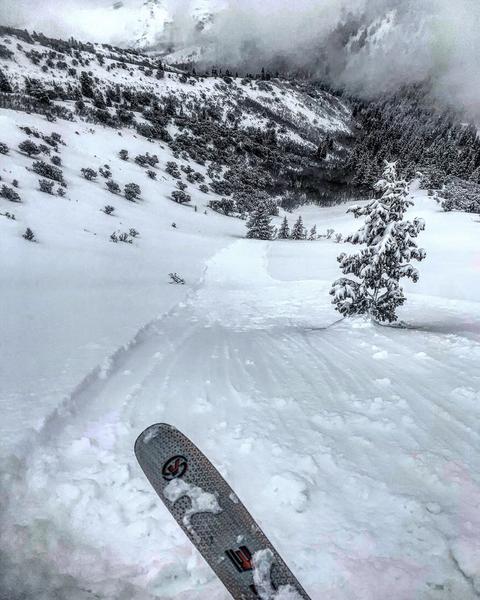
A MODERATE danger exists for both wet and dry point release avalanches on all aspects with the danger more pronounced at the mid and upper elevations. Some of these may run naturally with enough heating or any direct sun this afternoon. Isolated areas in the alpine still host lingering shallow wind drifts. Terrain less steep than 35° not beneath steeper slopes has a LOW danger.
KEY POINT! Safe Travel protocol saves lives-
One at a Time
Get out of the Way at the Bottom
Have the Gear and Know How to Use it
Don't Sluff Your Bro. Or the road.
Low
Moderate
Considerable
High
Extreme
Learn how to read the forecast here
Special Announcements
Join Drew Hardesty at 7PM on Wednesday, March 6 at Rocksteady Bodyworks for an interactive discussion on the State of the Snowpack. IF you plan on attending, there's required reading beforehand.
Ok it's not required, but it's helpful. LOW Danger Chapter 1, Chapter 2, Chapter 3, Chapter 4. You can find them all under our Blog page in the Menu above. Extra thanks to Derek Debruin, Russ Costa, and Laura Maguire.
The latest podcast is out. In this episode, we sit down with Ian McCammon. Ian has done as much for the avalanche community as nearly anyone over the past 20 years and recently received the highest award given by the American Avalanche Association. Tune in -
Weather and Snow
Skies are overcast with rumors of an errant or wayward snowflake or two falling under the dark and starless skies. Winds are hardly a whisper. Mountain temperatures are in the single digits up high, the mid teens down low.

Weak ridging will develop today and early tomorrow ahead of another series of wet, warm, and windy storms slated for overnight Tuesday through early Saturday. An initial rain/snow line Wednesday may be as high as 7000'. Areas favored by a southwest flow such as the Provo area mountains, upper Big Cottonwood, and the southern end of the Park City ridgeline may see upwards of 1-2' of heavy dense snow by early Saturday. Cold air doesn't arrive until later Friday eve. Another storm possible for early next week.

Our friends and colleagues in upper LCC at the Alta Guard station (UDOT avalanche team) have been keeping records of snowfall since 1945. February snow totals were 122" and 13.19" of SWE (Snow-Water-Equivalent - if you melted that 122" of snow into a cylinder). This ranks as the 7th snowiest on record and the 2nd wettest on record. Year to date is 320" and 32.36". It's been quite the run. Thanks to UDOT and the 'keeper of the ancient scrolls' Mark Saurer. All the numbers can be found here.
Recent Avalanches
Avalanche activity yesterday included a smattering of very shallow and pockety human triggered wind and storm slabs in the alpine but these were easily overshadowed by the more widespread loose dry sluffs on all aspects at the mid and upper elevations. Clouds thinned in the afternoon...greenhousing kicked in....and the snow character turned on a dime. Wet loose sluffs now entered the game and observers then triggered easily manageable wet loose sluffs on all aspects. (pc: White)
Springtime. If you don't like the weather...
Ad
Avalanche Problem #1
New Snow
Type
Location
Likelihood
Size
Description
Sluffing in the new snow on steep (40°+) slopes is expected. These are easily managed from above with ski cuts and by moving diagonally across the slope to avoid being caught up in your own loose snow avalanche. In forgiving terrain, these offer great opportunities to learn about moving snow. In, above, and below extreme terrain, they can be outright terrifying. See yesterday's event in Monte Cristo in Little Cottonwood (a ski run that requires rappels). Remember that radical terrain amplifies the overall risk.

Learn more about Dry Sluffs and Wet Sluffs in the Avalanche Problem Toolbox.
Avalanche Problem #2
Wet Snow
Type
Location
Likelihood
Size
Description
Greenhousing may yet again feature prominently to enable wet loose sluffs on all aspects at the low and mid elevations of all aspects. They'll certainly run fast and far...and even more-so in steep confined gullies and particular on the east-south-west facing aspects that holds a nice crust/bed surface below. IF the clouds thin enough to allow for some sun...or the sun comes out altogether, the avalanche potential of the sluffs will rise accordingly.

What is greenhousing? It's when the radiation/energy balance gets thrown out of whack (ok this is a snow and avalanche guy's description) where thin clouds allow for some solar heating but hamper much of the snow's ability to release long wave energy back to the sky. The clouds themselves emit long wave energy back to the snow as well. These are all things you can feel - it's warm, humid, muggy (feels like stepping into a true greenhouse) - and the snow can become damp and unstable independent of aspect and typically more common at the low to mid elevations.
TAKE HOME POINT: If you can feel the greenhousing, the snow can feel the greenhousing - wet loose sluffing can be expected. Especially when there's recent cold snow on the ground.
Avalanche Problem #3
Cornice
Type
Location
Likelihood
Size
Description
The cornices have grown large and unruly and may be more tender with sun and warming. Avoid being on or beneath these hulking monsters today.
General Announcements
This information does not apply to developed ski areas or highways where avalanche control is normally done. This forecast is from the U.S.D.A. Forest Service, which is solely responsible for its content. This forecast describes general avalanche conditions and local variations always occur.