Forecast for the Uintas Area Mountains

Craig Gordon
Issued by Craig Gordon on
Saturday morning, March 28, 2026

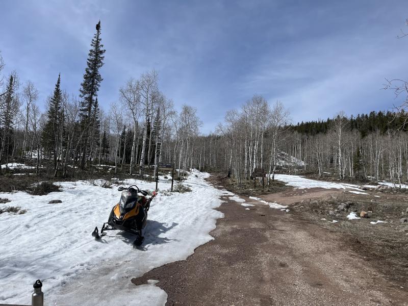
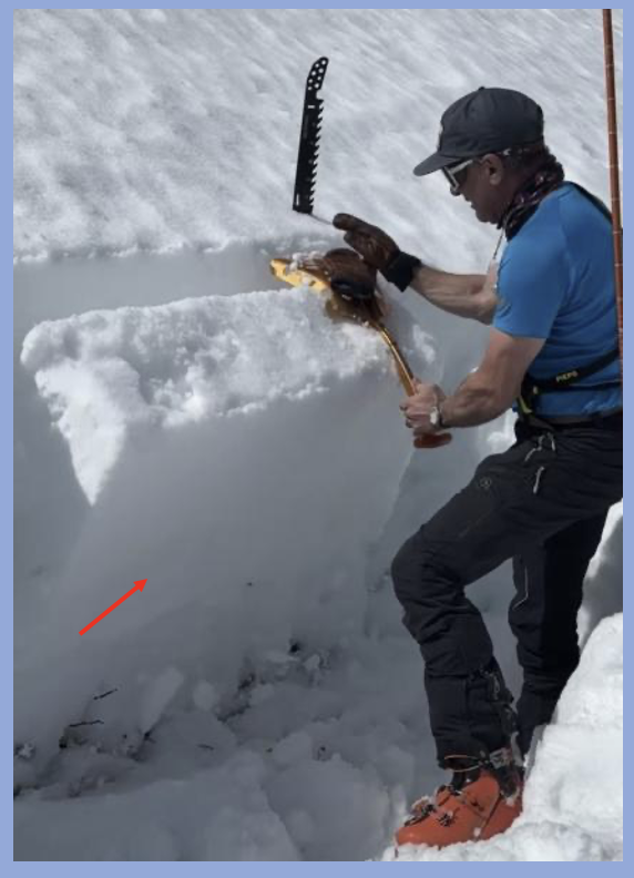
Get it while you can... nature's Zamboni tightened up the snowpack, smoothed out the snow surface, and a corn-like texture anxiously awaits your harvesting.

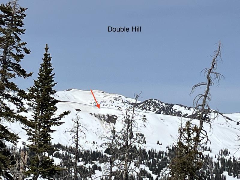
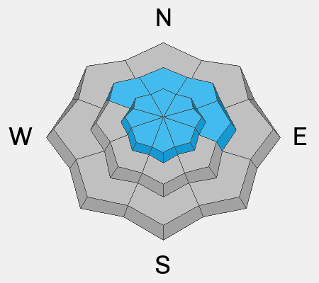
A solid, overnight refreeze delivers mostly LOW avalanche danger and human triggered avalanches are unlikely for a good portion of the day. If temperatures rise more rapidly than expected the avalanche danger will shift accordingly, bumping into the MODERATE category. Steep, rocky, mid and upper elevation polar slopes, especially those with a shallow snowpack are most suspect where human triggered avalanches are POSSIBLE during the heat of the day.

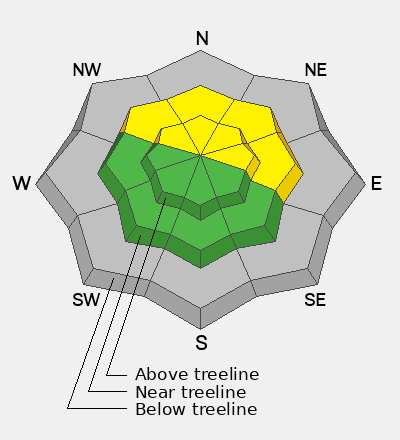
Grey color on the danger rose indicates little to no snow at lower elevations... apologies to the snowpack. Sorry that you feel that way, the only thing there is to say... every silver lining's got a touch of grey :)

Low
Moderate
Considerable
High
Extreme
Learn how to read the forecast here
Special Announcements

A new version the UAC's mobile app has been released with many new features and performance improvements. Download our app today, available on iPhone and Android. Learn more HERE.

Weather and Snow

Nowcast - High clouds drift through the region early this morning and temperatures register in the low to mid 30's F°, about 5-10 degrees warmer than yesterday at this time. Near the high peaks, winds blow in the 20's and 30's from the southwest.

Forecast - Mostly sunny skies this morning invite afternoon heating, increasing clouds, and a few scattered showers to the party by late in the day. Winds blow from the west and southwest and get a little rowdy by about dinnertime, gusting into the 40's near the high ridges. Overnight lows dip into the mid 30's F°.

Futurecast - Sunday looks largely similar, but a pattern change is slated to kick off the workweek. The warm before the storm slides in Monday before we shift gears to a cooler, wetter pattern beginning midday Tuesday. Looks like a warm, wet, April Fools Day impulse with a colder system on tap when the Eagle Flies on Friday :)

Travel Conditions -

With some elevation gain, Ted found excellent riding conditions in the Gold Hill area yesterday. There's a rugged price of admission though, getting there... meh... the high cost of low livin'.

Meanwhile JC and his crew got an early start, took advantage of the Low avy danger, went open season near Mt. Watson, and scored a beautifully timed descent.

Recent Avalanches

Ted spotted this wet pocket of snow on Double Hill, which most likely avalanched several days ago during the heatwave.

No new avalanche activity reported in the past 24 hours.

Recent slides and trip reports from across the range are just a click away... below!

Avalanche Problem #1
Wet Snow
Type
Location
Likelihood
Size
Description

It'll take all the right ingredients... timing, terrain, and weak snowpack, but yesterday, longtime observer John Climaco noted reactivity on the January drought layer in his snowpit stability tests.

Today's temperatures are more in line with what we should expect for March and I think that'll pump the brakes on damp snow and wet avalanche issues. However, steep, rocky slopes and terrain that's avalanched multiple times this year remains suspect.

Here's a few things that'll dictate the way I move in the mountains today-

  • Get on the snow early and exit if the snow is getting punchy or unsupportable.
  • Steer clear of big terrain during the heat of the day, and stay off of and out from under, steep, sun-baked slopes.
  • If I'm feeling like an ant under a magnifying glass, so is the snowpack and it's time to switch gears on my objectives and snow-centric activities.
General Announcements

We are always looking for snow and avalanche observations or just general riding conditions. Reach out to us with questions, concerns, or if you see anything in your travels! Contact us directly through the info below:

Craig Gordon -- [email protected] -- 801 231 2170

This forecast is from the U.S.D.A. Forest Service, which is solely responsible for its content. This forecast describes general avalanche conditions, and local variations always occur. This forecast was issued on Saturday, March 28, at 03:30 and expires 24 hours after it was issued. We'll update this information by about 7:00 AM tomorrow.