Nowcast - Temperatures in the 30's F° are paired with mostly clear skies and light winds blowing from the southwest this morning around 15 MPH gusting into the high 20's. Temperatures barely dipped below freezing last night but with a nice breeze, the surface was able to get a little refreeze going.
Forecast - Another warm one on tap, with mostly sunny skies and a high near 50 F° at 10,000'. Winds blowing from the west average 10-15 MPH with gusting into the 20's along ridges and upper elevation peaks.
Futurecast - We shift gears to a cooler, moist, pattern beginning later Tuesday heading into Wednesday. Looks like a warm, wet, April Fools Day impulse with a colder system on tap Friday and into the weekend.
Travel Conditions - The phrase "With some elevation gain..." has gotten us through the season but I think it is time to put it to rest. Elevation can barely save us now as the range has taken a serious hit over the past couple weeks loosing nearly all of our snow on low-elevation roads and trailheads. The best chance for access continues to be up the Mirror Lake Corridor. HW-150 is plowed to Murdock Basin on the south side, and Whitney Basin on the north.
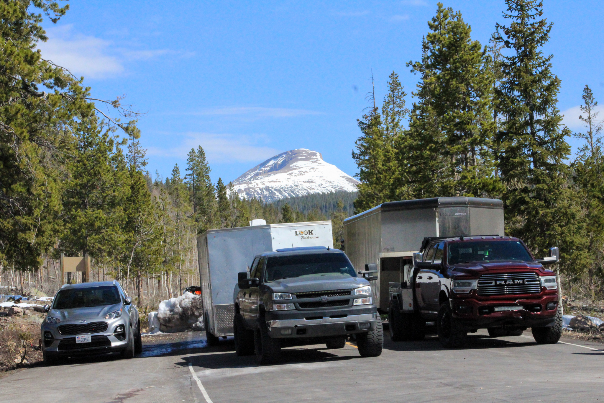 The closure at Murdock Basin ends with a few snow piles that folks have navigated with some creative thinking and western driving ability. Just a heads up, it's a tight turn-around for anyone with a big rig, truck and trailer.
No new avalanche activity has been reported from across the range in the past 24 hours.

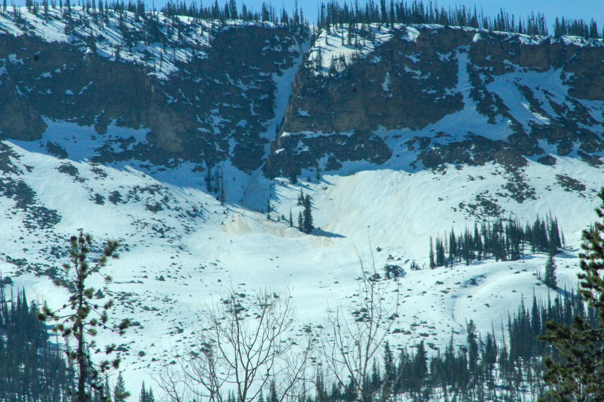 An old wet snow avalanche in the Iron Mountain Chute than ran within the past week. Steep, rocky terrain like in the photo above is that a great example of the text book terrain I am steering away from today.


