Forecast for the Salt Lake Area Mountains

Issued by Drew Hardesty on
Friday morning, March 13, 2026
Friday morning, March 13, 2026
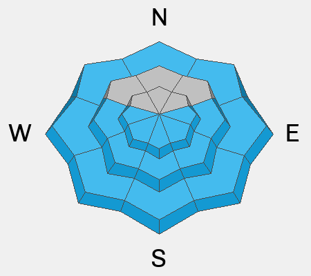
Spring Diurnal: The hazard assessment suggests that the only substantial hazard is from wet loose avalanches during the afternoon thaw phase of the diurnal freeze-thaw cycle. To be precise - this morning's LOW danger will rise to MODERATE for wet loose avalanches with today's sun and warming temperatures.
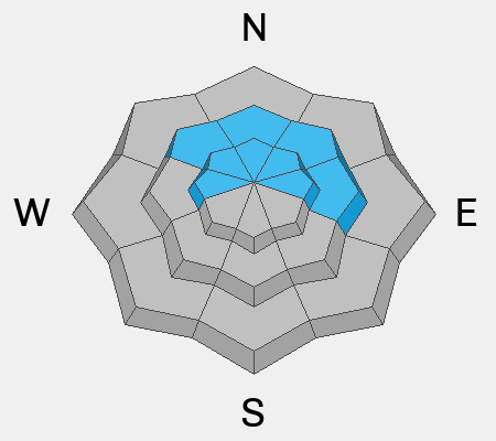
Recently formed hard wind slabs and the buried PWL (persistent weak layer) are mostly dormant and triggering one of these is unlikely but not impossible. Continue to avoid glide avalanche terrain such as Stairs, Broads, Mill B South, and upper Porter Fork.
Remember that risk is inherent in mountain travel.
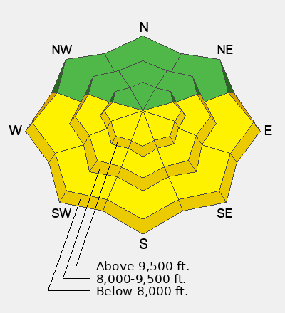
Low
Moderate
Considerable
High
Extreme
Learn how to read the forecast here