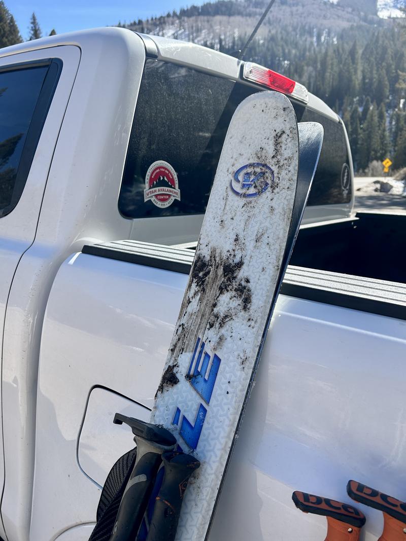
Mud on the skis - a sign of the times
Skies are clear.
Mountain temperatures and northwest winds have been on the rise all night. As of 5AM, temps are in the upper 20s to low 30s. Winds are strong along the exposed ridgelines, blowing 40-50mph with gusts to 70. A ridge of high pressure parked off the California coast shields us from the storms, pushing them into Idaho, Wyoming, and Montana. But at least we'll see wind.
For today, we'll have mostly sunny skies with some high cirrus floating through. Winds will remain moderate to strong from the northwest; temps will rise to the mid-30s up high, the upper 40s down low. Riding conditions: sun, temperature, and wind crusts dominate the landscape. With proper timing, you'll find soft and creamy corn skiing on solar aspects. With improper timing, you'll find scary and teeth-rattling slide-for-life conditions on the frozen crusts on the early side and unsupportable glop and wet sluff potential on the late side.
The Outlook: A STRONG cold front crashes through on Saturday, plunging temperatures to the low single digits, but alas it's a mostly dry cold front. We may see 2-4" if we're lucky. Spring rebounds next week and (read this slowly...) indeed it does look as if the sun - yes, our sun - touches down mid-week (GFS weather model below) as mountain temperatures soar into the 50s up high with little to no refreeze. Side note - there is a better than even chance that valley temps exceed 80°F on Wednesday. According to the NWS, this would smash the record for the earliest 80°F day in Salt Lake City, with the previous record earliest 80°F day occurring on March 31st.

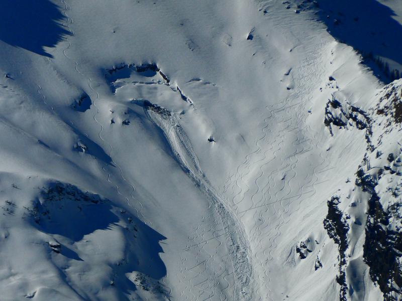
A glide avalanche was observed in Bonkers on a north-facing slope at 9,800'. The slide failed on the ground interface, taking out the entire depth of the snowpack, and was approximately 5' deep, 60' wide, and ran about 500 vertical feet. This avalanche likely occurred on Monday. The debris covered several downhill ski tracks and the skin track. Otherwise no new observations from the backcountry.