Discounted lift tickets - Thanks to the generous support of our Utah ski resorts and Ski Utah, all proceeds from these ticket sales go towards paying for avalanche forecasting and education! Get your tickets
here.
Looking to improve your avalanche skills? We are offering a
Backcountry 101: Introduction to Avalanches class at Powder Mountain February 14-15.
Forecaster Trent Meisenheimer will be giving a talk on the "State of The Wasatch Snowpack" at the Black Diamond Retail Store in Millcreek - Feburary 13th, from 7:00-8:30 pm.
A pretty wild week, even by Wasatch standards.
It's a beautiful morning. Skies are partly cloudy with light northeast winds. Temperatures are in the upper single digits up high; the mid teens down low. There's a full moon.
Snow surface conditions are wildly variable - some areas are supportable/breakable crust, some are like a backcountry groomer, but without the corduroy. Travel is fast and easy.
Many snow surfaces are lined with - what - rime, graupel, freezing rain....and probably now capped by surface hoar in some areas. Jim Steenburgh goes into greater detail in his blog post
HERE.. The relationship between the world and the atmosphere is nearly always fascinating...
Rough 48 hour storm totals from Wednesday evening through Friday evening are below. Amazing.
- Little Cottonwood Canyon: 30"-41" of snow (5.52" - 6.79" water)
- Big Cottonwood Canyon: 12"-18" of snow (2.25" - 3.50" water)
- Park City Ridgeline: 9"-13" of snow (1.50" - 2.05" water)
- Ogden area mountains: 7"-16" of snow (1.95" - 2.88" water)
- Provo area mountains: 5" (1.25" water)
-
Our
Week in Review highlighting weather and avalanche activity over the past week can be found
HERE.
I don't want to encourage more congestion in the Cottonwood Canyons, but it is worth the drive to look at the sheer destruction and debris piles on both sides of Little Cottonwood Canyon road. UDOT folks told me that with all the snapped trees, it smelled like Christmas up there. It's a sight to behold. Video courtesy of UDOT. Take a minute to thank all the snow and road professionals - it's been quite the week.
Ski area control teams found generally stubborn avalanche conditions yesterday but were able to trigger - primarily with airblasts - soft and hard slab avalanches up to size 2 and size 3 (large enough to bury a person or a vehicle).
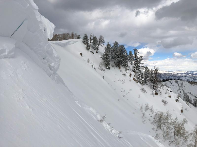
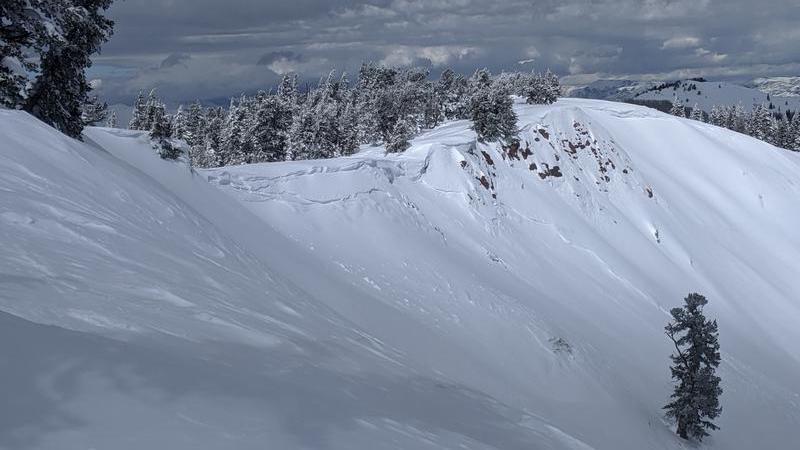
In the backcountry, cornice fall triggered two notable avalanches along the Park City ridgeline. At least one (Pointy Peak) failed at last weekend's facet/crust interface.
Mark White noted another glide avalanche release on the Diving Board in Broads Fork at 10,700' east facing.


