Greg Gagne
Forecaster
Our Week in Review highlights significant snowfall, weather, and avalanche events of the previous week. (Click here to review the archived forecasts for the Salt Lake mountains.)
The danger roses for the Salt Lake mountains from Friday, January 31 through Thursday, February 6, 2020:

Summary:
A week of very active weather! Warming temperatures Friday/Saturday/Sunday with wet avalanches over the weekend. A very cold storm on Monday with widely-varying snow totals that deposited nearly 2' on the benches and foothills, but upper reaches of the Cottonwoods only reporting 6-10". (The Cottonwoods always seem to do well, so don't feel too sorry for them this time around!) Very cold temperatures Tuesday and Wednesday, with warming temperatures, strong winds, and heavy dense snowfall beginning overnight Wednesday and into Thursday.
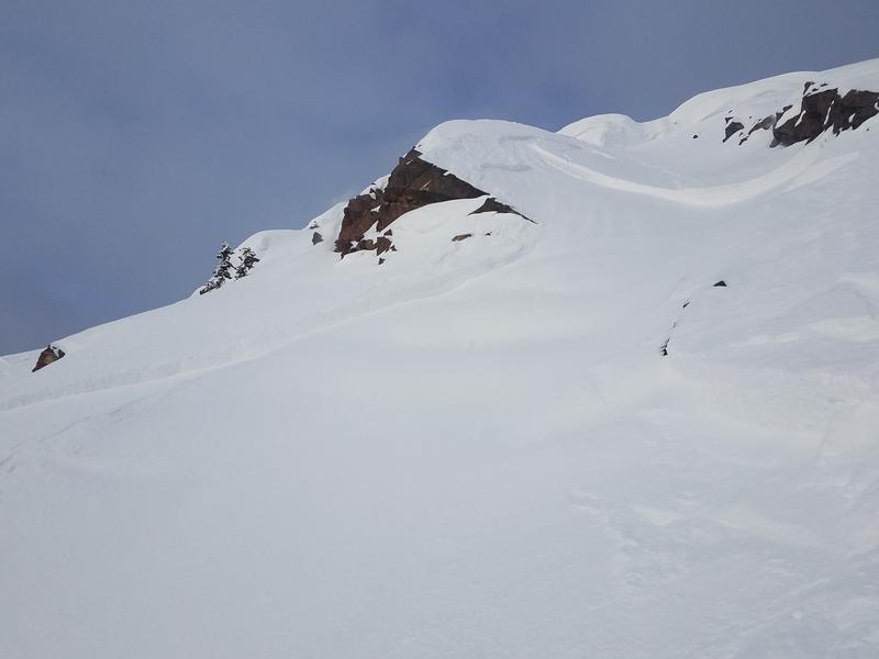
Friday, January 31: The onset of a short period of warming. Minor, wet-loose avalanches are reported, as well as a 12" deep 80' wide skier-triggered wind slab avalanche on the south face of Mount Superior that ran 800'

Saturday, February 1: Strong sunshine and warm temperatures lead to more wet-loose avalanches on solar aspects. The most notable slide occurred on a west-facing aspect at 10,000' in Mill B South (observation) that was 2' deep and over 100' wide. This slide likely failed on a facet/crust combination that formed in early January.

Sunday, February 2: Strong winds ahead of a cold front that arrived late Sunday night.
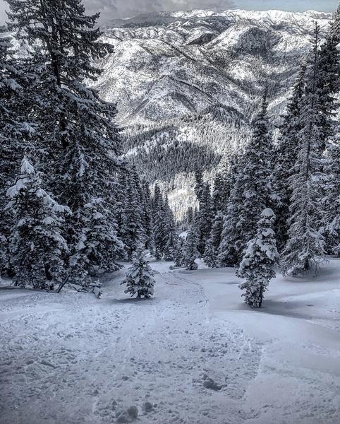
Monday, February 3: Heavy snowfall arriving in a cold, northwest flow favors valley locations, as well as the foothills and Millcreek Canyons. Minor sluffing in the loose new snow is reported on steeper aspects. Many foothill locations received nearly 2' of snow, with half that in the upper Cottonwoods.

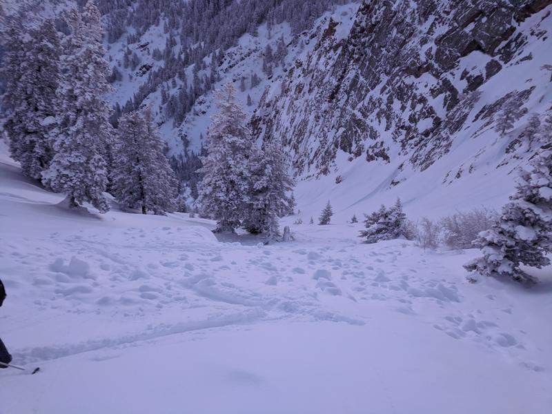
Tuesday, February 4: Millcreek and Neffs Canyons did quite well with this storm, receiving about 2' of new snow. An avalanche is reported from one of the Memorial Couloirs in Norths Fork that was 2' deep, running on a slick crust that formed during the warm spell over the weekend (observation).

Wednesday, February 5: Light snowfall and warming temperatures ahead of a warm, moist, and very windy storm.
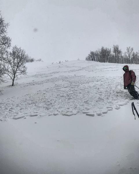
Thursday, February 6: Heavy, dense snowfall and strong winds (reaching 100 mph at 11,000' on Hidden Peak). A natural avalanche cycle early in the morning, and widespread cracking reported. Snowfall totals by Thursday evening favor Little Cottonwood Canyon which received 18-21" of snow containing 2.5 - 3" of water. Several natural and human-triggered avalanches are reported, including the East face of Reynolds Peak which was nearly 1000' wide (observation)

A near-miss in the Memorial Couloirs early on Thursday morning when two skiers were boot-packing up Memorial #5 and were caught by a natural avalanche from above. Although one rider was carried an estimated 500', fortunately, no injuries were reported. (Observation)


