We need your help. In an effort to increase awareness and prevent future fatalities we need to reach more people with our daily avalanche forecasts, expand the Know Before You Go program, and increase the number of on-snow avalanche courses. Please consider a donation to the UAC to help us raise $25,000 by April 8.
Help your support of the UAC by making a donation HERE. Thank you for your support!
Couple of new interesting things to
read and
listen to: (1) The latest blog by Drew "
Roping the Wind (Slab)", and (2) UAC
podcast featuring Lynne Wolfe - guide, avalanche educator, editor of The Avalanche Review, mentor, role model. This is a can't-miss episode!
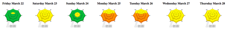
Although specific to the Salt Lake mountains, the latest
Week in Review is up and live.
Snow: Total snow since Thursday night in the Provo area mountains is 4-6 inches. Further north in the Cottonwood Canyons 18-23 inches fell and near Park City 12-14 inches fell.
Temperatures: This morning temperatures are mostly in low to mid 20s F.
Winds: Yesterday winds averaged 15 mph from the west with gusts of 30 mph. This morning winds shifted to the northeast and were blowing 2-5 mph even at 11,000 ft.
Today: Scattered snow showers will produce a trace of snow. Winds will remain mostly calm. Temperatures will climb into the upper 30's F. There will be a mix of sun and clouds but it's hard to say exactly how much sunshine we'll see.
The new snow should have settled some overnight and I'd expect great "surfy" riding conditions this morning before the snow warms up too much.No avalanche were reported in the Provo area mountains; however, there were many avalanches 12-24 inches deep further north where more snow fell. See all the SLC area avalanches
HERE.