Forecast for the Provo Area Mountains

Greg Gagne
Issued by Greg Gagne on
Friday morning, February 14, 2020
The avalanche hazard is Low. The two things to watch for today are (1) pockets of isolated wind slabs along upper elevation aspects facing north through east, and (2) slide-for-life conditions on steep, wind-scoured slopes that have a slick ice crust.
Low
Moderate
Considerable
High
Extreme
Learn how to read the forecast here
Special Announcements
Discounted lift tickets - Thanks to the generous support of our Utah ski resorts and Ski Utah, all proceeds from these ticket sales go towards paying for avalanche forecasting and education! Get your tickets here.
Weather and Snow
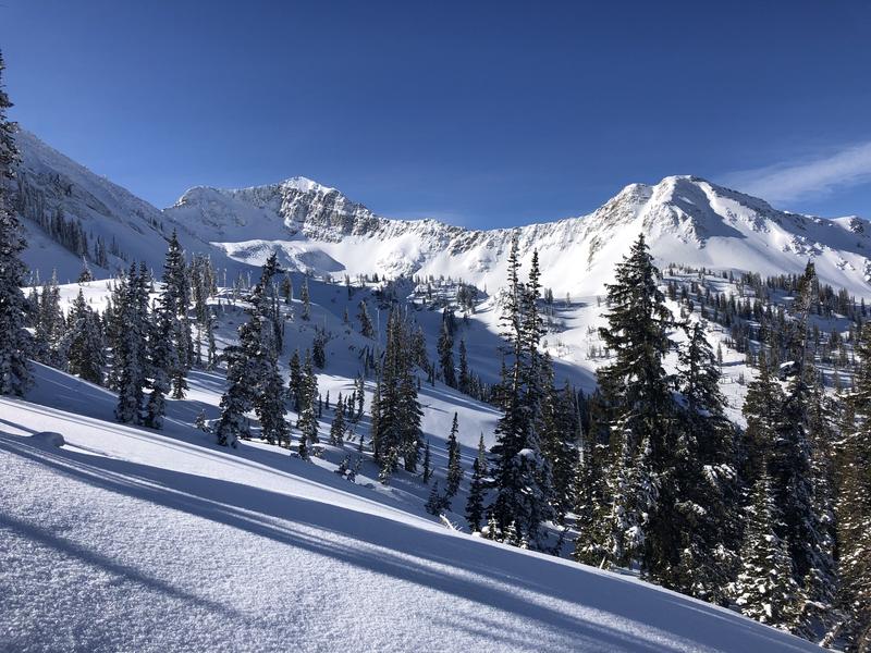
Currently: Skies are clear and temperatures in the Provo mountains are in the upper 20's and low 30's F. Winds are out of the south through west and gusty. Along 10,000' ridges winds are averaging in the teens with gusts in the 20's. At 11,000' winds are averaging in the 20's with gusts in the upper 30's mph.
Today: Another beautiful day in the mountains with temperatures rising into the 20's and low 30's F. Winds will be westerly, averaging in the teens with gusts in the 20's mph. Add 10 mph to that along exposed ridges at 11,000'. Mid and high-level clouds will increase this afternoon as a dry cold front enters the region.
This Weekend: Beginning late Saturday things become more active with periods of snow on a westerly flow. A strong cold front enters the region later Sunday night, bringing periods of heavier snow, with over a foot possible by later Monday.
Recent Avalanches
Other than a few small, wet-loose avalanches on wind-protected solar aspects, no backcountry avalanches were reported. We did receive an excellent observation from Sean Zimmerman-Wall from American Fork Canyon.
Although centric to the Salt Lake mountains, our Week in Review - where we highlight significant weather and avalanche events from this past week - is published HERE.
Ad
Avalanche Problem #1
Normal Caution
Type
Location
Likelihood
Size
Description
The avalanche hazard is currently Low. However, risk is inherent in mountain travel, and there are two things to watch for today:
1. Pockets of fresh wind slabs along upper leeward aspects facing north through east.
2. Slide for life conditions on steep, wind-scoured slopes where there is a hard rain/rime crust. Pro observer Cody Hughes has some interesting thoughts from his tour in Hogum Fork in the Salt Lake mountains on Thursday.
It is important to maintain good travel habits during periods of Low hazard, this includes exposing one person at a time to avalanche terrain and watching one another from islands of safety.

With a Low hazard, it is a reasonable time to venture into new terrain and/or more radical terrain. Enjoy the Low danger for now as we are expecting the avalanche hazard to rise by later this weekend with snow and wind in the forecast. More thoughts on the possible changing avalanche are provided below under Additional Information.
Additional Information
LOOKING AHEAD:
In simple terms, slab avalanches require a slab of snow resting on top of a weak layer. Currently, there exists abut 2-4" of snow on top of a widespread rain/rime crust that formed late Friday, February 7.This snow at the surface is undergoing a process of faceting (becoming weaker) during this period of cold and clear weather and may provide the necessary weak layer. Snow and wind forecasted for later this weekend may create the slab on top. The rain/rime crust will provide an excellent bed surface for avalanches to run on.
Below is a video from my field day in Upper White Pine Canyon in the Salt Lake mountains where I was finding this structure of weakening snow on top of the buried crust:
The bottom line is the avalanche hazard may quickly rise later this weekend once we receive more snow.
General Announcements
This information does not apply to developed ski areas or highways where avalanche control is normally done. This forecast is from the U.S.D.A. Forest Service, which is solely responsible for its content. This forecast describes general avalanche conditions and local variations always occur.