Forecast for the Moab Area Mountains

Mark Staples
Issued by Mark Staples for
Friday, March 15, 2019
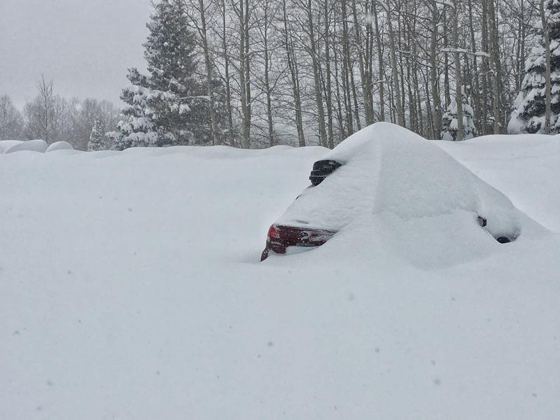
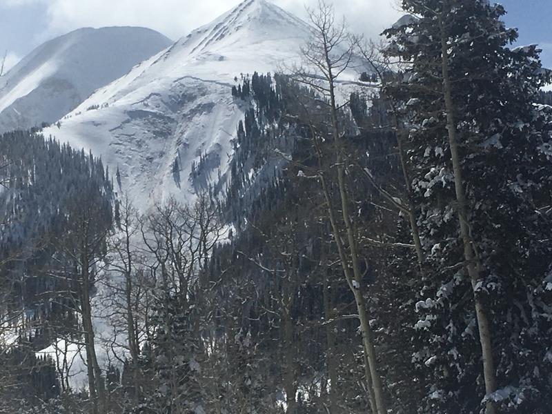
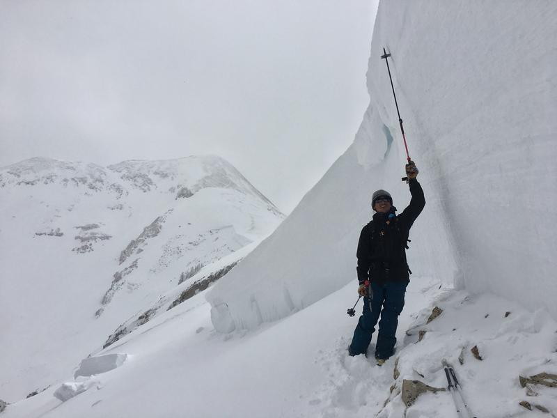
Today the avalanche danger is CONSIDERABLE at all elevations. Avalanches can break near the ground or just within the new snow. At low elevations some wet avalanches are possible.
Low
Moderate
Considerable
High
Extreme
Learn how to read the forecast here
Special Announcements
Yesterday Grand County had two large road graders working on the road to Geyser Pass Trailhead. The 6-wheel drive grader barely made it to the parking lot. They worked all day. The trouble is that there is no place to push the snow. The photo below shows the result of a full day's worth of work by the two graders. The second photo was from the Geyser Pass TH Wednesday evening. The owners of the car were just barely able to drive out yesterday.
Today the Forest Service will have a bulldozer pushing the snowbanks so that the graders can come back and plow more snow.
Unfortunately all of this means that the road will be closed most of today and could remain closed through the weekend.
Weather and Snow
This morning under clear skies, temperatures dropped into the single digits F following high temperatures yesterday near 30 degrees. Winds calmed overnight.
Today will have strong sunshine and clear skies. North winds will shift to the east but remain calm. At upper elevations temperatures should rise into the mid to upper 20s F.
The recent storm lasted from Tuesday morning until Wednesday evening (37 hours). It delivered 32 inches of snow with 3.6 inches of snow water equivalent. Winds during the storm blew from the south, west and north. The strongest winds blew from the west.

New snow totals in Gold Basin (10,000')
Snotel totals at the Geyser Pass Trailhead (9600')
National Weather Service point forecast.
Recent Avalanches
The rapid heavy load of snow was too much for the snowpack to support. We spotted several massive avalanches (Exxon's, Noriega's, and West Face of Tuk) yesterday that broke near the ground and over huge areas (1/4 to 1/2 miles wide). Some avalanches occurred just within the new snow (Haystack). These were harder to see because they filled in as more snow fell.
Below is a photo of a run called Exxon's Folley.
The next photo is from last Saturday. This avalanche happened following the last storm but will give a sense of the scale of some of the avalanches that were spotted yesterday.
Ad
Avalanche Problem #1
Persistent Weak Layer
Type
Location
Likelihood
Size
Description
Recent avalanches tell us all we need to know about this problem. They will be massive and deadly. They can break near the ground or in the middle of the snowpack on a pesistent weak layer of sugary facets. I don't expect any more to occur naturally unless strong winds occur but they are not in the forecast. Avalanches like this could be triggered by a person who probably wouldn't survive.
Avalanche Problem #2
New Snow
Type
Location
Likelihood
Size
Description
The new snow will be bonding and settling today and decreasing the danger of this problem. The new snow will be most sensitive and take longer to bond where it has been drifted by the wind.
Avalanche Problem #3
Wet Snow
Type
Location
Likelihood
Size
Description
Watch for warming of the new snow today at low elevations. This morning is starting very cold but should warm rapidly as the strong March sun rises. You should see roller balls and pinwheels of snow rolling downhill. As this activity increases, the danger for loose wet avalanches increases. The simple strategy is just avoid being under steep slopes as the snow gets wet. You should see lots of clues.
Additional Information
Check out this clip of local Moab sledders playing it safe and making sure their beacons are on at the Geyser Pass Trailhead.
General Announcements
Your information can save lives. If you see anything we should know about, please help us out by submitting snow and avalanche observations HERE. You can also call me at 801-641-6307, or send me an email: [email protected].
Support the UAC through your daily shopping. When you shop at Smith's, or online at REI, Backcountry.com, Patagonia, NRS, Amazon, eBay by clicking on these links, they donate a portion of your purchase to the UAC. If you sell on eBay, you can have your See our Affiliate Page for more details on how you can support the UAC when you shop
This forecast is from the U.S.D.A. Forest Service, which is solely responsible for its content. This forecast describes general avalanche conditions and local variations always occur.