Forecast for the Moab Area Mountains

Tuesday morning, November 3, 2026
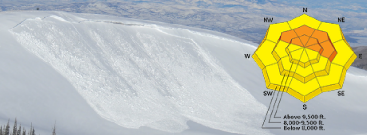
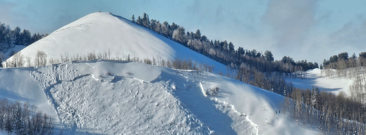
The warm, wet, and wild storm system that battered the Southwest moved on midday Monday, and overnight mountain temperatures dropped to season appropriate levels in its wake. The drop in temperature has abated the threat for wet avalanches leaving unstable areas of wind drifted snow as the primary concern. This danger will steadily decrease over the next few days but remain on the lookout for unstable areas of wind drifted snow on the leeward sides of ridge crests and terrain features primarily above treeline on slopes that face NW-N-NE-E.
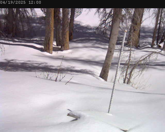
Dave and I are officially back on this week and we’ll get the Gold Basin storm stake in and start rolling around in the field to collect data. The next significant storm system will likely dictate the beginning of daily forecasts. In the meantime, we’ll post periodic updates and publish observations.
Read current observations here.