Forecast for the Moab Area Mountains

Monday morning, November 2, 2026
Good morning, this is Eric Trenbeath. Another wild, wet, and warm storm system has moved through the region. Heavy precipitation, accompanied by strong southerly winds has battered the mountains with the rain/snow line hovering around 11,000 feet most of the day on Sunday. Mountain temperatures overnight finally cooled enough for accumulating snow and Gold Basin is reporting seven inches this morning at 10,000 feet.
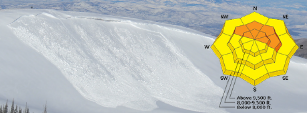
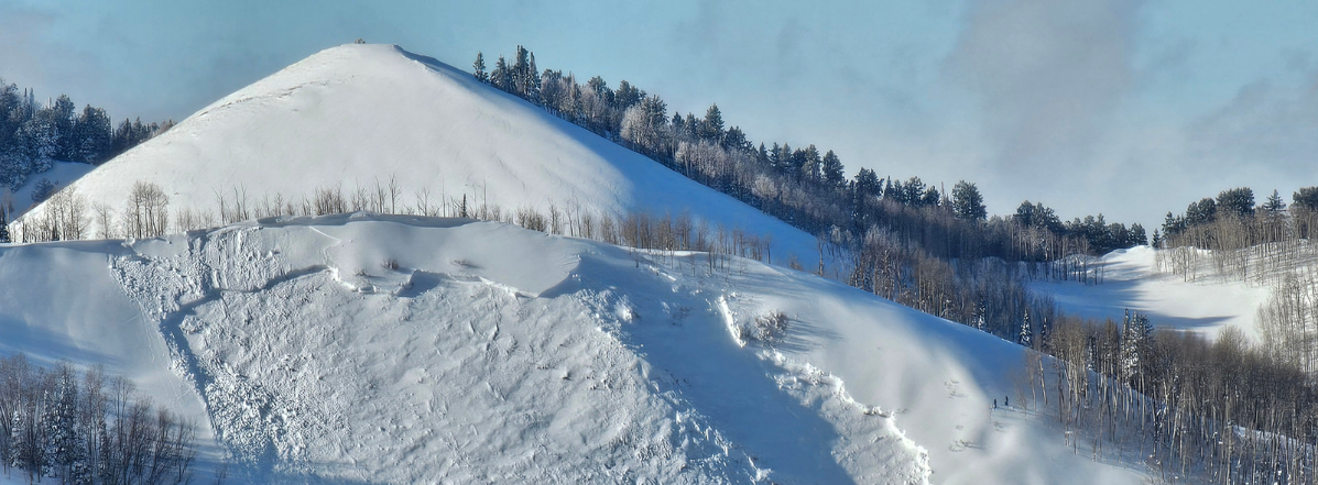
Wild weather creates wild avalanche conditions and you will be able to trigger avalanches out there in the right terrain, primarily on steep, northerly facing slopes above about 11,000 feet that held snow prior to this storm. New snow, wind driven snow, and even wet snow avalanches are possible in areas where more than about 8 inches of new snow is sitting on old, pre-existing snow. There really isn’t enough snow up there for serious turning and riding and access is difficult, but if you are getting out, travel in avalanche terrain is not advised, particularly in alpine zones where even a small avalanche could take you for a rough ride over rocks and scree.
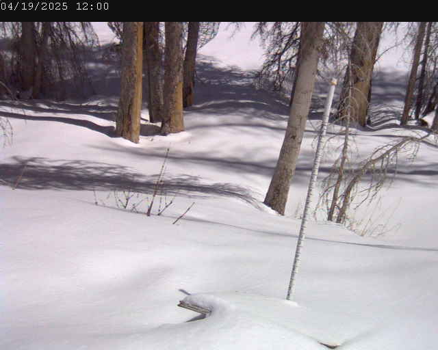
Dave and I are officially back in the office this week and we’ll get the Gold Basin storm stake in, and start getting around in the field to collect data. In the meantime, we’ll be publishing observations from intrepid enthusiasts.
Read current observations here.