Observation: Laurel Highway

Observation Date
11/2/2026
Observer Name
Chris B./Karin P./Max L.
Region
Moab » Laurel Highway
Location Name or Route
Coyote Chute
Weather
Sky
Obscured
Precipitation
Light Snowfall
Wind Direction
Northwest
Wind Speed
Light
Weather Comments
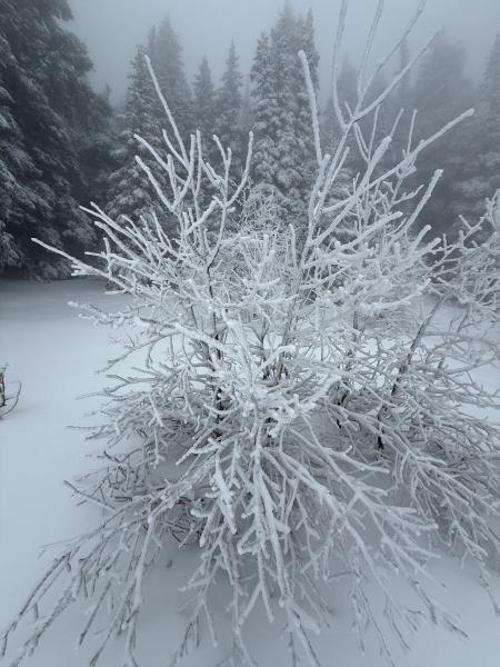
Started touring with some light to moderate precip (snow!) and warm temps. Later in the morning it transitioned into low visibility fog that made skiing in the trees much more preferable.
Snow Characteristics
New Snow Depth
12"
New Snow Density
High
Snow Surface Conditions
Powder
Damp
Snow Characteristics Comments
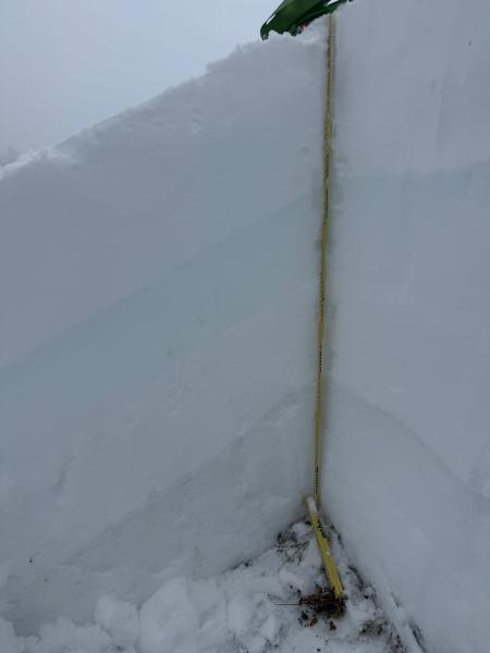
Storm snow at 11,400 was about 30 of dry snow with dense moist snow below. This dense snow skied well although on the denser side. It was predicable and had good supportive fast skiing. Its worth noting that snow depth increases markedly with elevation with the last couple of very warm storms....
Red Flags
Red Flags
Rapid Warming
Red Flags Comments
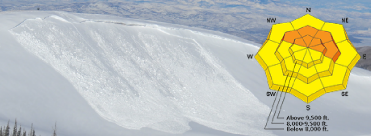
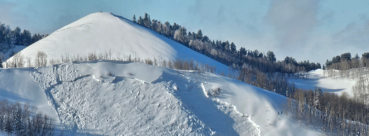
The biggest issue seems to be a large load of snow and SWE in a short amount of time. Something like1.5" of SWE in the last 24hr and perhaps a bit more liquid precip (looks like the precip is down on the snotel) Wind station has been down, but likely the winds have been cranking during the last 24 hrs as well. ECTP down 50 cm on 29 was observed but with low confidence, and would like to repeat the test in several locations. It did fail between the wet new snow and older dry snow.
Avalanche Problem #1
Problem
Wind Drifted Snow
Trend
Decreasing Danger
Problem #1 Comments
I suppose wet snow is the problem until temps lock things up. It was kinda strange to find 1 m of snow on the ground in early Nov. (albeit it was probably a sheltered wind deposition zone) Lots of moist snow and a good chuck of the pack was hovering around 0 C. The rain/wet snow was confined to the upper 50 cm of the pack- no evidence of melting of the stout Oct. 20 Rain crust and didn't see evidence of water making its way all the way down to this crust either. Looks like we will get some good freezes above 10K this week, so this should set the stage for a pretty strong set up. Will need to watch for facets near crusts.
Snow Profile
Aspect
North
Elevation
11,400'
Slope Angle
30°
Today's Observed Danger Rating
Moderate
Tomorrows Estimated Danger Rating
Low
Coordinates