Saturday, December 5: Join us for the 19th Annual USAW, where Utah’s avalanche community will team up with snow professionals around the West to share avalanche knowledge. Regional avalanche workshops are the most time and cost-effective way to build and refresh advanced avalanche skills. This is your chance to learn from avalanche experts and brush up on your skills before the start of the season. Tickets and information here.
Monday, December 7 6 PM: Know Before You Go. Eric and Dave will give a free avalanche awareness talk at the MARC in Moab. This is a great introduction to snowpack, weather, and avalanches for first-timers or anyone who wants a quick skills refresh.
Saturday, December 12 6-9:30 PM: UAC Moab Winter Kickoff Party at the MARC in Moab. The event will include ski waxing, live music, beer from the Moab Brewery, pizza from Zax, and a chance to win some great prizes in our opportunity drawing.
Saturday, February 6-7: Backcountry 101 Moab: An introduction to avalanches. Spend time in the classroom and on snow with Eric and Dave. Click here for more information and to register.
Weather
The first in a series of storm systems is currently churning through our area and overnight snow totals are up to 5 inches. Overnight winds blowing from the south averaged 15-20 mph and they ticked up around 5:00 AM with gusts into the low 30's. Snowfall should continue through early afternoon with another 3-5 inches possible. Winds should back off a bit and switch to more westerly. High temperatures at 10,000 feet will be in the low to mid 30's.
Looking ahead, we'll see a break on Sunday-Monday before the next system moves in on Tuesday, followed by another on Thursday. Latest model runs show a slightly more northerly track but we should still see a decent shot of snow next week. Stay tuned.
General Conditions
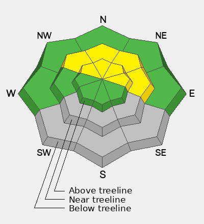
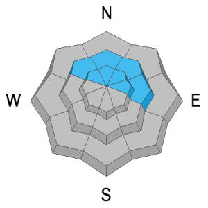
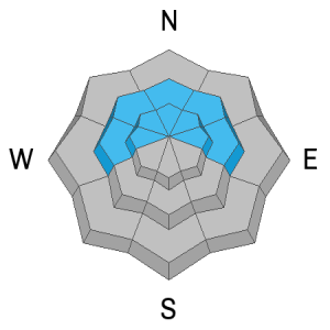
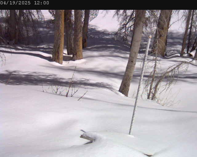
If you've been following along, you know we have two wildly different snowpacks depending on elevation. Only a few inches of snow exist at the Geyser Pass Trailhead (9600') while at the Gold Basin study plot (10,000') 15 inches of snow sits on the ground including five that fell overnight. Above about 11,000 feet there's nearly three feet of snow. This makes access difficult and as our friend from the Wasatch, Mark White likes to say, "the price of admission is high." Here's the additional rub - what was once a deep and strong snowpack has begun to deteriorate from the top down and the now underlying old snow surface has become faceted and weak. Dave Garcia was up on Thursday and sent in this observation detailing good "recycled powder skiing" which now translates to our first weak layer. Ryan Huels reported similar conditions.
If you are excited to see the new snow and plan on getting out, keep in mind it's very early season and low elevation access is somewhat treacherous. At higher elevations, the avalanche knob is starting to get turned up and you'll need to be on your toes and alert to changing conditions. Even a small avalanche could have some serious consequences in our generally low snow, early season snowpack.
Gold Basin Web Cam (10,000')
Gold Basin Weather Station (10,000')
Gold Basin SNOTEL (10,000')
Pre-Laurel Peak Weather Station (11,705')
NWS La Sal Forecast