Geyser Pass Road Conditions: The road is not plowed and is definitely sporty with 6 inches of wet snow and ruts. 4wd and good tires required.
Saturday, December 5: Join us for the 19th Annual USAW, where Utah’s avalanche community will team up with snow professionals around the West to share avalanche knowledge. Regional avalanche workshops are the most time and cost-effective way to build and refresh advanced avalanche skills. This is your chance to learn from avalanche experts and brush up on your skills before the start of the season. Tickets and information here.
Monday, December 7 6 PM: Know Before You Go. Eric and Dave will give a free avalanche awareness talk at the MARC in Moab. This is a great introduction to snowpack, weather, and avalanches for first-timers or anyone who wants a quick skills refresh.
Saturday, December 12 6-9:30 PM: UAC Moab Winter Kickoff Party at the MARC in Moab. The event will include ski waxing, live music, beer from the Moab Brewery, pizza from Zax, and a chance to win some great prizes in our opportunity drawing.
Saturday, February 6-7: Backcountry 101 Moab: An introduction to avalanches. Spend time in the classroom and on snow with Eric and Dave. Click here for more information and to register.
24 Hour Snow: 5" 72 Hour Snow: 10" Season Total: 34" Depth at Gold Basin: 20" Winds on Pre Laurel Peak: N/A
Weather
This morning we are under the influence of dry, northwest flow. Under clear skies, light winds are blowing from the NW, and the temperature at 10,000 feet is 34 degrees. Skies look to be mostly sunny today with maybe some afternoon cloudiness. High temperatures will climb up into the mid to upper 30's. Looking ahead, the much hyped next series of storms appear to be losing some steam but we should see a little more snow on Tuesday, and then again on Friday, with a progressive pattern continuing through the month.
General Conditions
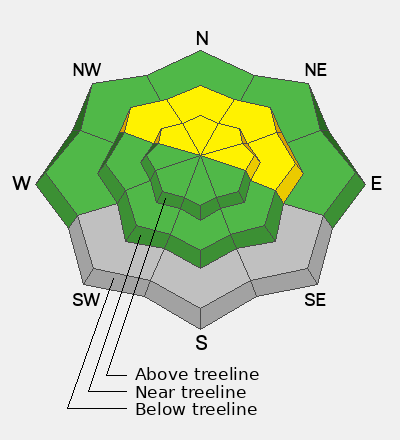
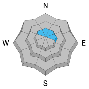
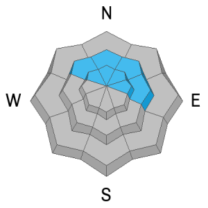
The mountains picked up 10 inches of dense snow containing 1.5 inches of Snow Water Equivalent (SWE). This has helped build our base at lower elevations while adding significantly to our already robust snowpack up high. The big news is that the recent snow has buried a layer of weak, faceted, surface snow that developed during the early November dry spell, and this is poised to become our first persistent weak layer problem. In my travels yesterday, I was surprised by the lack of sensitivity given the fresh load on top of this weak layer, and I did not observe any cracking or collapsing. The weak layer was easily identified however, and stability tests produced easy results. Read my full report here.
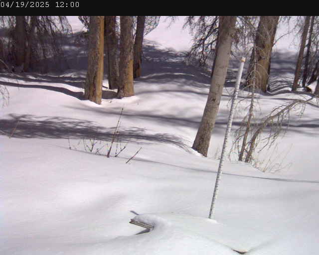
There continues to be a great disparity in snow depth depending on elevation with over 3 feet of snow in many areas above 11,000 feet, 10-12 inches at the Geyser Pass Trailhead, and 20 inches at the Gold Basin study plot. Most southerly aspects were bare prior to this storm. Low elevation travel, especially in the woods, continues to be challenging so be careful our there.
Here's a video report from yesterday:
Gold Basin Web Cam (10,000')
Gold Basin Weather Station (10,000')
Gold Basin SNOTEL (10,000')
Pre-Laurel Peak Weather Station (11,705')
NWS La Sal Forecast