Upcoming Events:
Saturday, December 5: Join us for the 19th Annual USAW, where Utah’s avalanche community will team up with snow professionals around the West to share avalanche knowledge. Regional avalanche workshops are the most time and cost-effective way to build and refresh advanced avalanche skills. This is your chance to learn from avalanche experts and brush up on your skills before the start of the season. Tickets and information here.
Monday, December 7 6 PM: Know Before You Go. Eric and Dave will give a free avalanche awareness talk at the MARC in Moab. This is a great introduction to snowpack, weather, and avalanches for first-timers or anyone who wants a quick skills refresh.
Saturday, December 12 6-9:30 PM: UAC Moab Winter Kickoff Party at the MARC in Moab. The event will include ski waxing, live music, beer from the Moab Brewery, pizza from Zax, and a chance to win some great prizes in our opportunity drawing.
Saturday, February 6-7: Backcountry 101 Moab: An introduction to avalanches. Spend time in the classroom and on snow with Eric and Dave. Click here for more information and to register.
Weather
We are entering an active weather pattern, with chances for snow continuing through November 21. The first low-pressure system arrives tonight, bringing light snowfall in the early morning hours Saturday. Snow is expected to continue through approximately 2 PM.
High temperatures at 10,000 feet will reach 32°F on Saturday, with the rain-snow line hovering around 9,000 feet. Storm totals of 3–5 inches are expected by the time the snow tapers off Saturday afternoon. The next low-pressure system arrives on November 18, with another storm lined up behind it on November 20.
General Conditions
As of Friday, November 13, access to the high country remains challenging, with very thin snow coverage near and below treeline. Conditions change dramatically around 11,000 feet, where snow depths range from two to three feet.
Backcountry travelers have been enjoying soft turns in recycled powder, also known as near-surface facets. Fun skiing can be found on polar aspects, where a relatively deep early-season snowpack exists. Solar aspects are mostly bare or have very thin coverage. Only the highest-elevation solar slopes hold snow, and I observed a recent loose wet avalanche on a steep, southwest-facing slope above treeline on Thursday.
Read my full report from Thursday's fieldwork here. Ryan Huels was also up in Middle Cirque on Thursday and submitted this great observation.
Avalanche danger will increase with incoming storms. The recycled powder we're enjoying today will become tomorrow's weak layer once buried. Keep an eye on the forecast page for the latest updates as conditions evolve.
Read all Moab observations here
NWS La Sal Forecast
Gold Basin Weather Station (10,000')
Gold Basin SNOTEL (10,000')
Pre-Laurel Peak Weather Station (11,705')
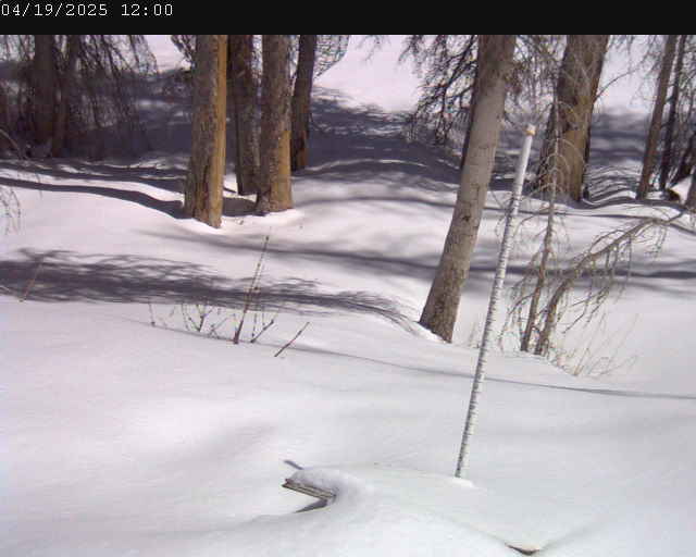
Gold Basin Web Cam (10,000')
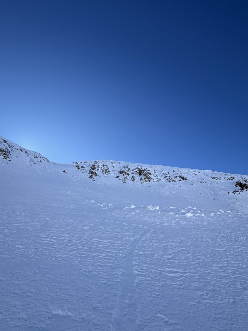
I observed this loose dry avalanche on a NE aspect in Talking Mountain Cirque in my travels on Thursday. It appeared to be triggered by an animal traversing the slope above. The avalanche entrained a good amount of snow. This type of slide can easily knock you off your feet or push you through early season hazards like exposed rocks.
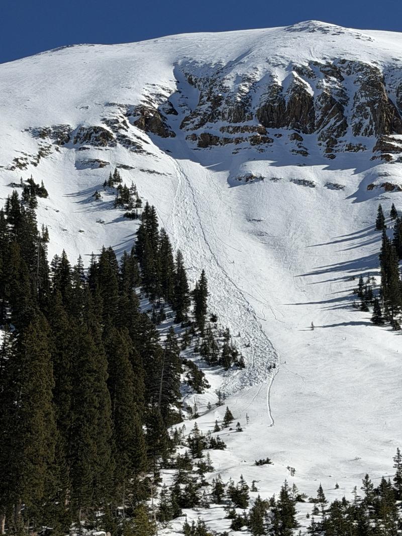
This recent loose wet avalanche ran on a steep southwest aspect in Talking Mountain Cirque. This type of avalanche remains possible on Friday.