Observation Date
11/12/2026
Observer Name
Ryan Huels
Region
Moab » Gold Basin » Middle Cirque
Location Name or Route
Middle Cirque
Weather
Sky
Clear
Wind Direction
Northwest
Wind Speed
Light
Weather Comments
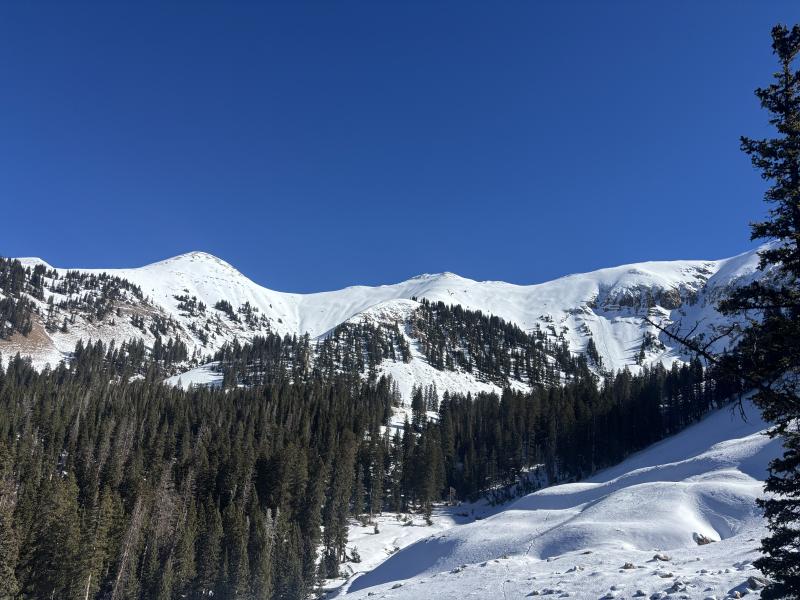
Beautiful fall day with full sun and light winds that gave the feel of late spring with the creek coming out of Gold Basin having running water and a drastically different snowpack from the Gold Basin Trailhead to the upper cirques.
Winter arrives again with weather changes beginning tomorrow with clouds and a quick storm on Saturday that will bring snow followed by a much larger storm beginning on Tuesday of next week.
Snow Characteristics
Snow Surface Conditions
Powder
Faceted Loose
Wind Crust
Melt-Freeze Crust
Damp
Snow Characteristics Comments
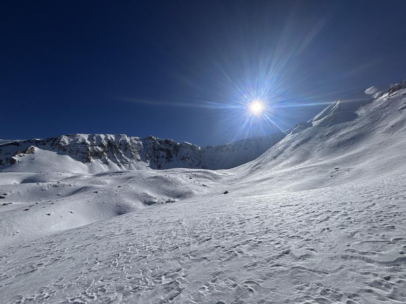
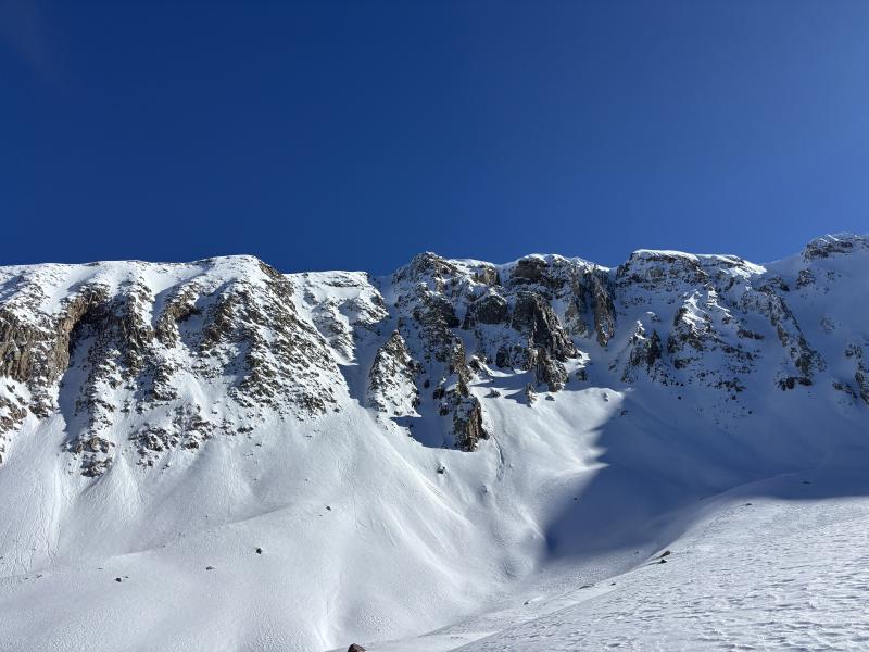
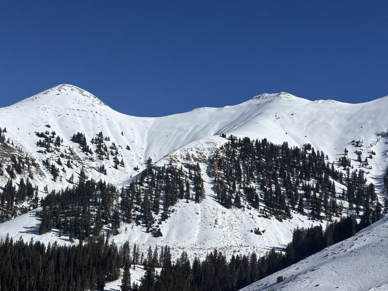
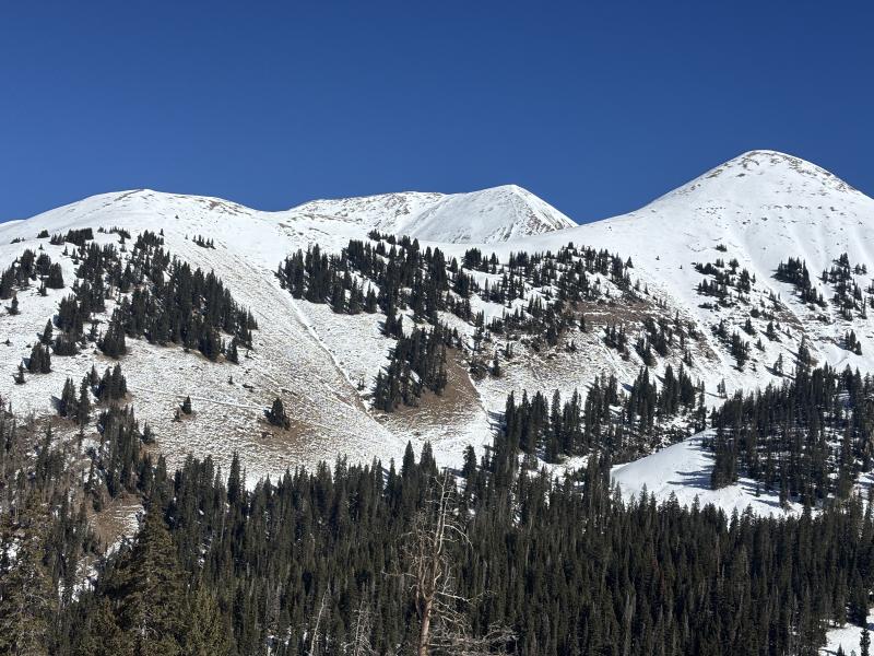
A large variety of snow on my tour including dirt, melt freeze crust on solar aspects and at lower elevations that became damp in the afternoon, and dense cold snow on shaded, north facing aspects. Above tree line in north facing aspects there was a breakable wind crust in spots but snow was soft and made for great turns in early November. There is a drastic difference in snow coverage from the TH to upper elevations with 8-10” of settled snow at the TH and upwards of 3’ of snow above 11000’.
Red Flags
Red Flags
Wind Loading
Rapid Warming
Red Flags Comments
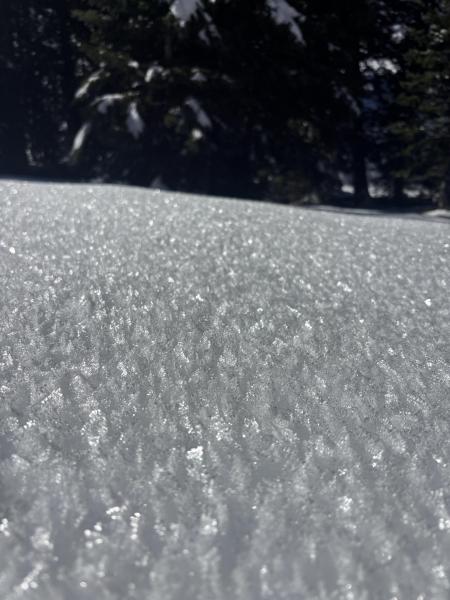
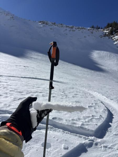
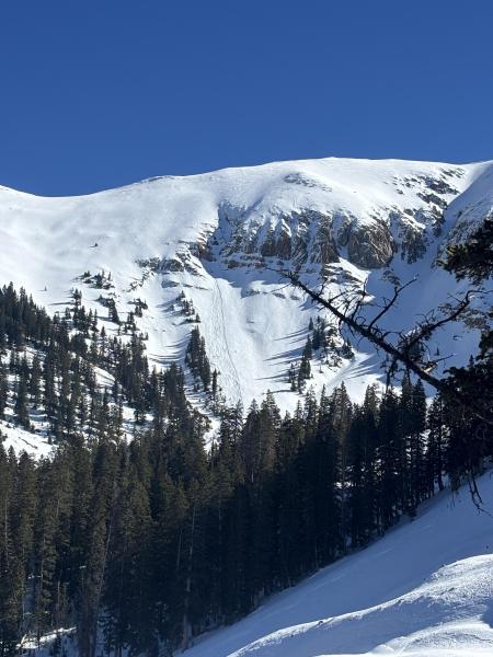
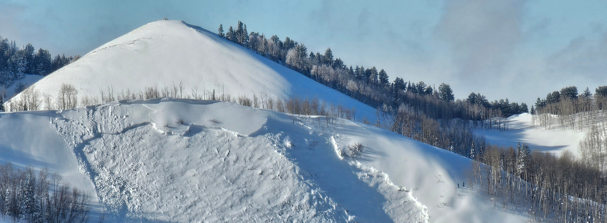
The upper portion of the snowpack is beginning to facet. While it is not a huge problem at the moment you can produce loose dry avalanches in very steep terrain on N facing aspects. There will be elevated concern on N facing aspects when a new load of snow is deposited on top with the upcoming storms. Warm daytime temps produced some small point release loose wet avalanches especially near areas of rocky terrain taking on heat. There are areas at high elevations that may have larger, more dense wind loading. My pit produced an ECTN 27 29cm down where the most recent storm sits on top of a very firm rain freeze crust that is very hard to isolate in column tests. This will be my layer of concern with upcoming snow.
Avalanche Problem #1
Problem
Wind Drifted Snow
Trend
Same
Problem #1 Comments
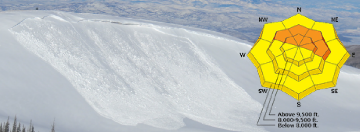
Areas of wind slabs at high elevations on leeward slopes, mostly N-E.
Avalanche Problem #2
Problem
Wet Snow
Trend
Decreasing Danger
Problem #2 Comments
Wet loose on solar aspects at high elevations that still hold snow. Still present tomorrow with warms temps but decreasing the next few days with upcoming storms.
Snow Profile
Aspect
North
Elevation
11,500'
Slope Angle
28°
Comments
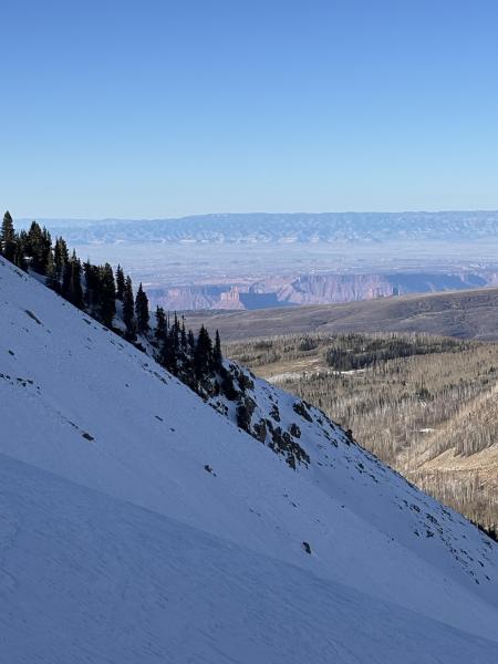
A look at snow coverage around Gold Basin before upcoming storms in addition to some big beautiful facets down near the creek, the breakable wind crust in Middle Cirque and a point release wet loose on SW facing terrain. Overall it is quite wild to see the stark difference between the snowpack from the TH to upper elevations. Overall the coverage up high is great for early November as I probed snow depths of 70-105cm in Middle Cirque where I recall probing similar depths in February of last year.
Today's Observed Danger Rating
Low
Tomorrows Estimated Danger Rating
Low
Coordinates