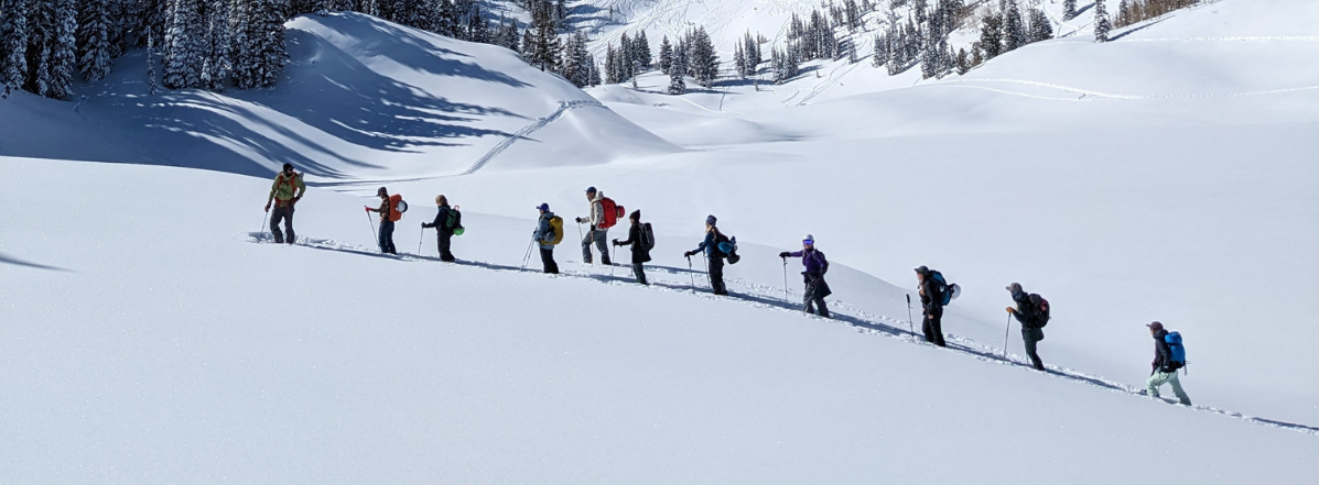
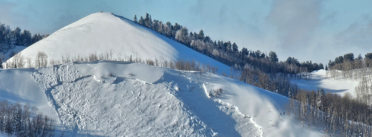
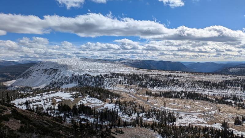
The season is young, and a thin snowpack has begun to accumulate high in the Uintas. Warm and wet storms in mid-October brought 1-3 feet of snow to the mountains, much of which melted away in the sun and under the influence of the warm ground. On shaded slopes high in the mountains, you'll find a variable mix of bare ground, rocks, and snow. Here is a view looking SE from Bald Mountain towards Bald Mountain Pass on Wednesday, 10/28.
A series of storms will impact our area through the weekend. For Friday and Saturday, temperatures start on the mild side with a rain/snow line in the 9,000-10,000' range. Temperatures drop overnight Saturday and through the day Sunday. Wind speeds increase significantly as a cold front approaches. If you're out up high by the end of the weekend, it will feel like winter. Three-day storm totals in the 1-2+ foot range are anticipated.
Sputtery snowfall continues on Monday, tapering off through the day. Cool temperatures and a mix of sun and clouds are on tap for next week, with our next chance for precipitation arriving next weekend.
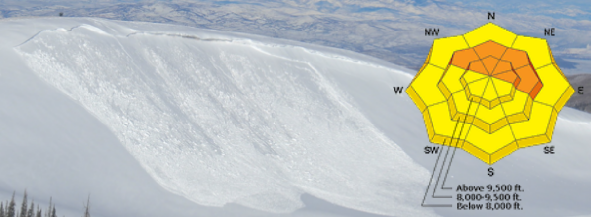
In most places, this weekend's snow will fall on bare ground. However, if you are looking to play in the snow and you head up high to find it, you'll be well served to think about avalanches. The most suspect terrain will be on slopes harboring lingering snow in advance of this weekend's storm. Sunday's strong winds will blow out of the SW-S, throwing the new snow onto those same shaded, upper elevation slopes. Be on the lookout for cracking in the new snow and other signs of instability as you move through the mountains.
Links to recent observations:
Bald Mountain - Mirror Lake Plateau - October 28th
Lamotte Peak - High Uintas - October 24th
Kletting Peak - High Uintas - October 18th
Enjoy the storms and the lead-up to winter, and let us know what you're seeing out there. You can submit your observations here.