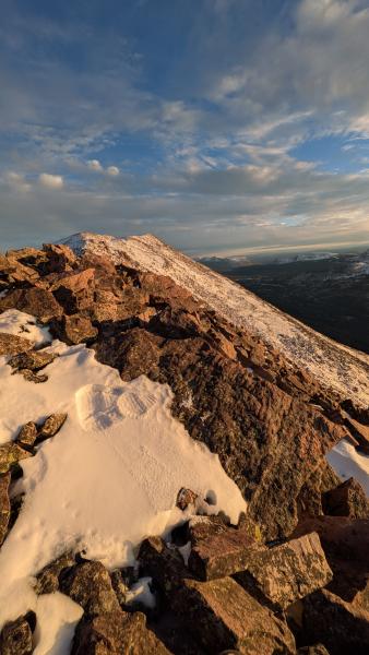
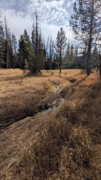
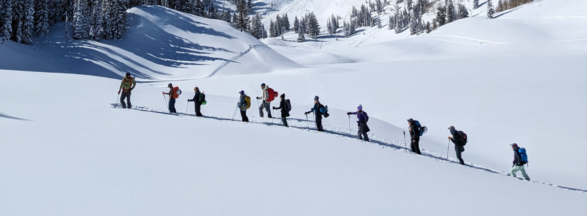
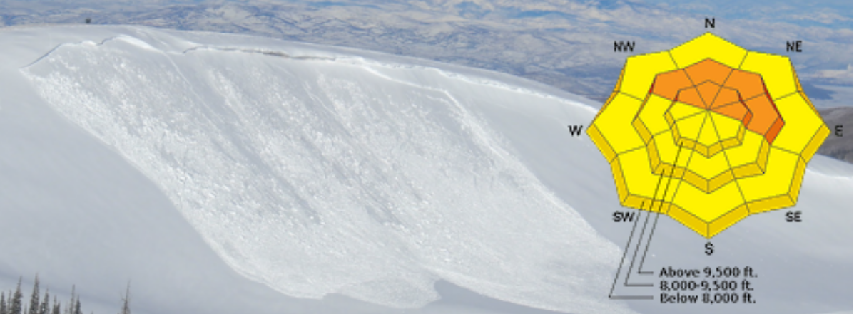
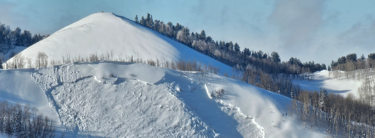
Early season coverage with lingering snow from the October 10-15 period. Heavy rain fell at lower and middle elevations during this event. The landscape is still soggy with water, and evidence of the precipitation intensity can be seen in washed-out gullies and flooded streamlets (photo).
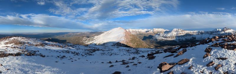
The sun had already burned off most of the snow on the southern side of the compass, though upper elevation S-SW-W slopes still held intermittent, disconnected wind ribbons packed into gullies. Shaded slopes above ~9,500' were holding 4-6" of patchy, disconnected snow. Below ~11,000', this snow was moist throughout and somewhat denser at the base than the surface. At 12,000', there was a very minor amount of faceting occurring at the snow surface, with dense, moist snow immediately below (photo). Small amounts of ice were forming in shadier terrain.
Enough snow in grassy meadows on the north side of Bald Mountain Pass to host some snowmachine tracks from the last few days. On the peaks, I did not see any slopes that had enough snow to completely cover the terrain roughness or provide any "reasonable" skiing. But I wouldn't be surprised to see a skiable ribbon in a gully or a dense wind whale along a ridge where you could make some turns.
We've got a long way to go before things fill in, but the process has begun.