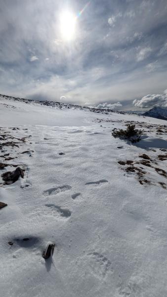
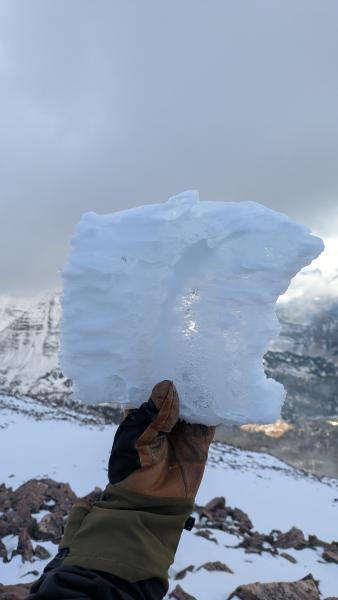
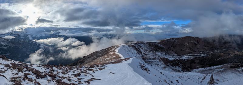
It is a snow-free world on the western edge of the high Uintas below about 10,000’. Above this, patchy snow from the Hurricane Rachel storms is sticking around in the shade, and has refrozen into an impressively stout snow surface (I’m calling this the “hurricane surface” in my brain). The strength of this snow is impressive, it is hard to kick through it with boots. This has allowed for some very select pieces of terrain to come into a “ski-able” condition, though coverage is much too thin for most people to think that carrying skis up to the snow is a good idea. Minor storms on 10/22-23 brought 2-3 inches of snow and graupel that had been quickly reworked by SW-erly winds.
A round of surface hoar formed overnight 10/23 into 10/24. This was preserved in the shade as small, standing SH flakes 1-3mm in size. In windy terrain it had been blown over. Without much terrain where the roughness has been covered with snow, this seems unlikely to be a significant issue. (An additional inch or two of snow and graupel fell on the evening of 10/24 into 10/25, and another round of small, tightly-packed, tabular SH formed on top).