Forecast for the Uintas Area Mountains

Ben VandenBos
Issued by Ben VandenBos on
Thursday morning, November 5, 2026

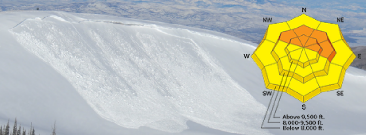
It remains brown in the valleys, but a significant amount of snow has accumulated up high in the Uintas. If you head up looking for it, pack all of your standard mid-winter equipment, including your transceiver, shovel, and probe. The slopes that have the best coverage are also the places you are most likely to get into trouble with moving snow.

We are excited to be back in the office and back in the mountains! We will issue intermittent updates as conditions warrant.

Low
Moderate
Considerable
High
Extreme
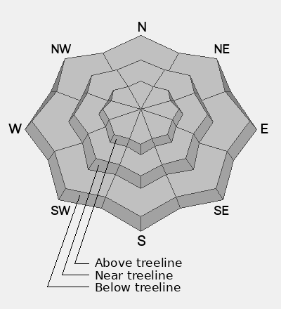
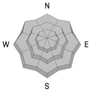
Learn how to read the forecast here
Weather and Snow

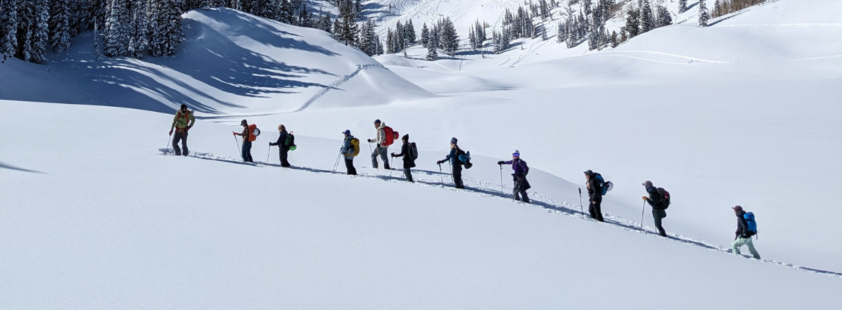
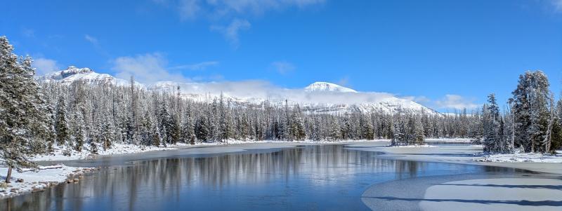
Winter decided to make an early appearance in the Uinta high country. The Halloween weekend storm brought 1.5-2" of water to the southern portion of our forecast area, and 1-1.5" to the north side of the range. This fell as 1-2 feet of dense snow above 10,000'. Further east in the range, outside of our forecast area, many weather stations reported 3-3.5" of water. Wow. Here's a look at conditions up on the Mirror Lake Plateau on Tuesday:
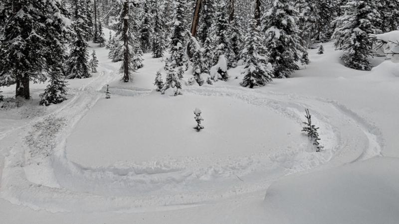
Unfortunately, this moisture fell almost entirely as rain below 10,000' and did not help with our low elevation coverage. A few intrepid folks were out enjoying the new snow on machines this week up high (photo below), but we've got some waiting to do before our terrain really starts opening up.
WEATHER: After a near record-setting amount of water in October, the jet stream has shifted north. A strong atmospheric takes aim at the coast of BC and the PNW this week, leaving us under a warm dome of high pressure. Expect to see a string of beautiful fall days through mid-November. After a cool and cloudy end to the week, high temperatures in the Kamas Valley will climb into the upper 50s to low 60s. High temperatures in the high Uintas start in the mid to upper 20s and bump into the mid 30s by the weekend.

OBSERVATIONS: Take a look at a few of our recent observations for more photos and details about the snow:

Bear River to A1 - High Uintas - November 3rd

Hayden Shoulder - High Uintas - November 1st

Bald Mountain - Mirror Lake Plateau - October 28th

Lamotte Peak - High Uintas - October 24th

Enjoy the beautiful weather, and let us know what you're seeing out there! The snow that develops at the surface during this period will be an important layer to track. You can submit your observations here.

Recent Avalanches

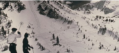
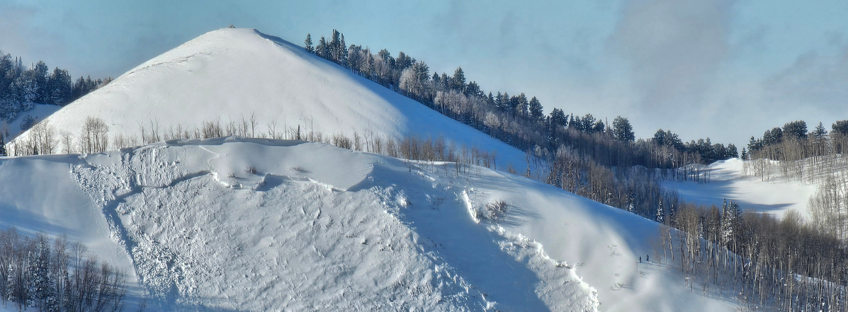
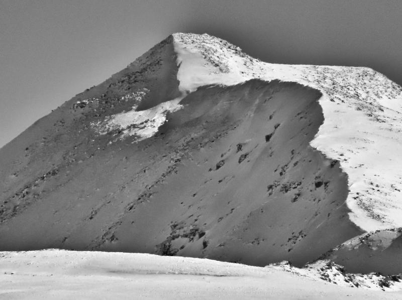
Avalanche observations are limited in the Uintas, but in my travels I spotted what appear to be two crowns from avalanches in heavily wind-loaded terrain above 11,000' on Lamotte Peak on Tuesday. Take a look at the right side of the image below, in the shaded snow below the ridgeline:
Avalanche Problem #1
Normal Caution
Type
Location
Likelihood
Size
Description

If you head up high looking for snow to play on, you'll find it. The slopes with the best snow coverage are also the places where you are most likely to encounter an avalanche problem. Avalanches will come in two different flavors this week:

  • In wind-loaded upper elevation terrain, be on the lookout for areas with smooth, continuous snow coverage. These are wind-deposited slabs. You'll be most likely to find a reactive slab on steep slopes with older snow from October underneath the new snow.
  • Warm weather and plenty of sunshine may bring wet snow avalanches to the menu during the heat of the day. If the snow you are playing on is becoming wet and sticky, starting one of these slides is a possibility.

Numerous rocks and shallowly buried obstacles dot the landscape. These are all harder and sharper than you are. Getting pulled through this type of ragged terrain increases the consequences of being caught in even a small slide. Don't be afraid to enjoy the snow, but spend a little time thinking about the cheese-grating effect of being pulled through the terrain you are in.

Additional Information

SAVE THE DATES!

Here are a few options for boosting your early season avalanche skills:

  • Learn online. We have over 5 hours of free online learning at the Know Before You Go website
  • Check out the upcoming in-person Know Before You Go events HERE
  • Sign up for an on-snow class
  • Check out the UAC's education progression HERE
  • Get your avalanche rescue gear ready for winter. Put fresh batteries in your transceiver and update the firmware. Inspect your shovel and probe. Get your airbag backpack ready by possibly doing a test deployment and updating the firmware if it is an electric version or getting your canister refilled if it's not electronic.
General Announcements

This forecast is from the U.S.D.A. Forest Service, which is solely responsible for its content. This forecast describes general avalanche conditions, and local variations always occur.