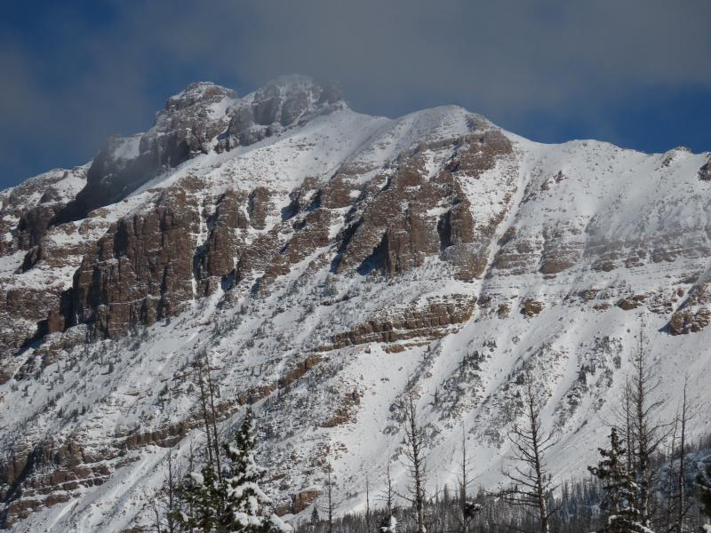
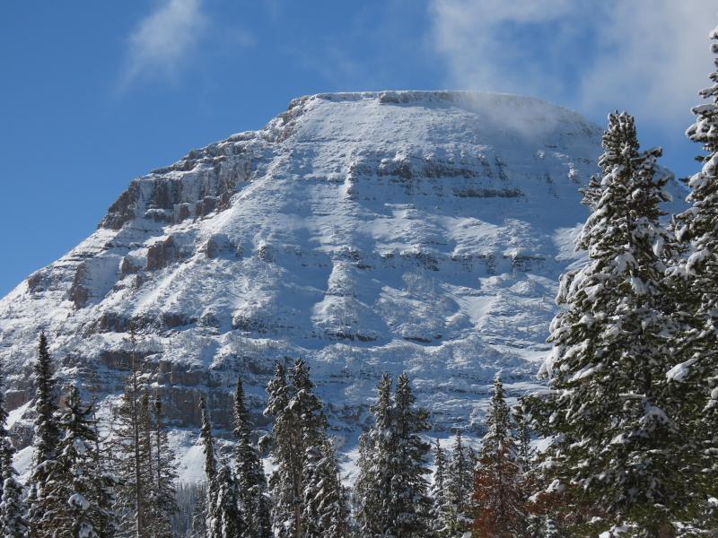
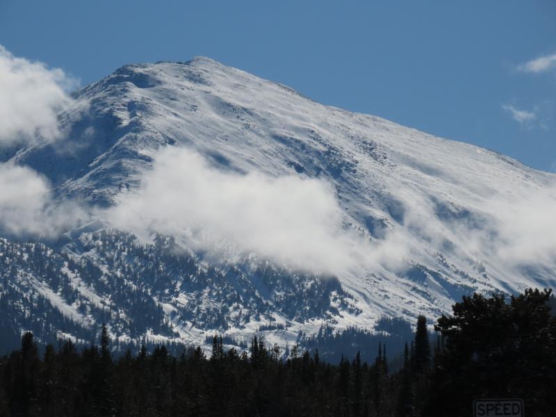
Overview: Early season storms have produced a distinct pattern in snow coverage. Below ~9,500', no significant snow has accumulated. This changes rapidly as you climb. By 10,500' you can find 1-2+ feet of snow depending on aspect and amount of prior snow coverage.
Details: An inch of refrozen slush appears around 9,700' - this was actively melting under influence of sun and ground heat. New snow amounts increase dramatically above 9,700'. By 10,300', I found 9-12 inches of settled storm snow. The new snow is in two distinct pulses: a wet lower section that fell from 10/30-11/1, and a less dense upper portion that fell during and after the passage of the cold from the evening of 11/1 into 11/2.
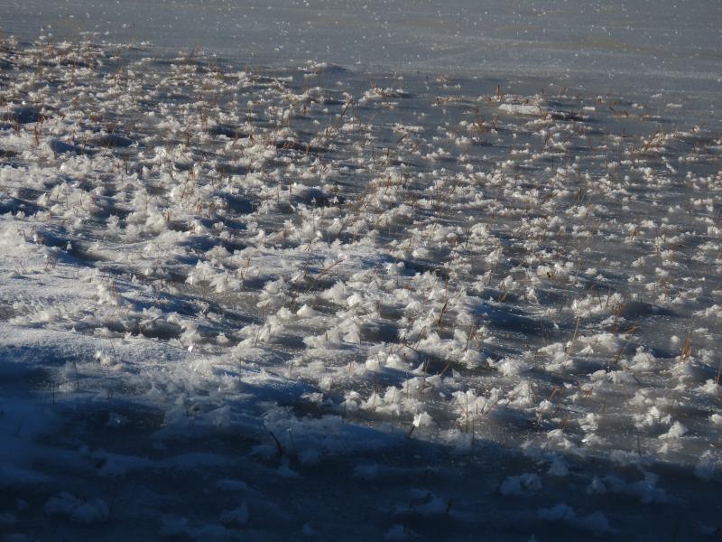
A widespread coat of surface hoar had already formed on top of the new snow, but the sun had melted and wilted this everywhere except on cold, shaded slopes. In these same deep, shady, cold places, the cold front snow has already undergone an impressive amount of faceting.
For now, there are two interfaces to look for/watch in our young snowpack:
- At the base of the recent set of storms, above the stout hurricane surface. From where snow appears up to (very roughly) 11,000', all of this snow became moist to wet during recent storms, and the bond felt fairly strong. Up higher, this interface could be more problematic. This is only a potential issue on slopes that held significant snow prior to this weekend's snowfall. Due to limited observations, my confidence on the nature of this layer is fairly low.
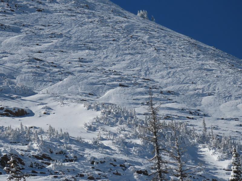
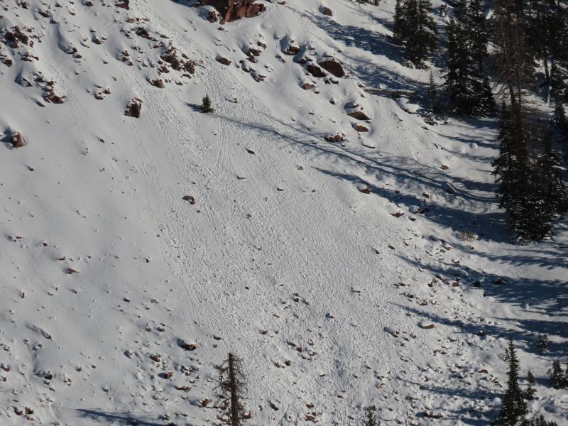
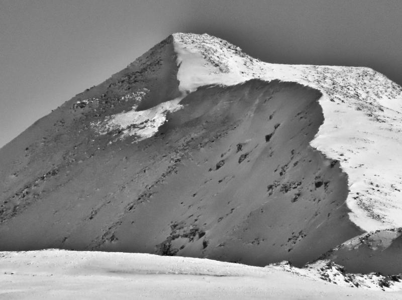
- Snow falling at the start of the Halloween storm, prior to the cold front was very moist, and it feels like the rain line may have spiked above 10,000' before the dry, cold front snow fell. Hand pits and other nonstandard tests revealed a bit of a weak interface associated with a crust here, which may be the result of some melt layer recrystallization. I don't yet have a good feel as to how widespread this is, nor how well it is preserved. The northerly winds that started with the cold front moved a lot of the drier snow around, and exposed this crusty, icy surface in many places (photo 1).