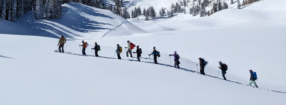
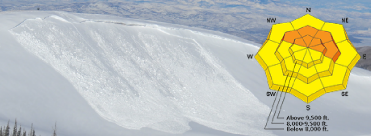
Winter decided to make an early appearance in the Uinta high country. The Halloween weekend storm brought 1.5-2" of water to the southern portion of our forecast area, and 1-1.5" to the north side of the range. This fell as 1-2 feet of dense snow above 10,000'. Further east in the range, outside of our forecast area, many weather stations reported 3-3.5" of water. Wow. Here's a look at conditions up on the Mirror Lake Plateau on Tuesday:
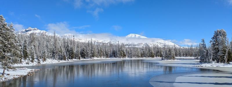
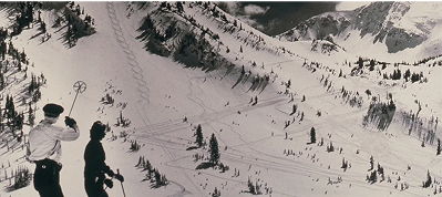
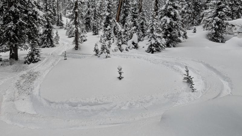
Unfortunately, this moisture fell almost entirely as rain below 10,000' and did not help with our low elevation coverage. A few intrepid folks were out enjoying the new snow on machines this week up high (photo below), but we've got some waiting to do before our terrain really starts opening up.
WEATHER: After a near record-setting amount of water in October, the jet stream has shifted north. A strong atmospheric takes aim at the coast of BC and the PNW this week, leaving us under a warm dome of high pressure. Expect to see a string of beautiful fall days through mid-November. After a cool and cloudy end to the week, high temperatures in the Kamas Valley will climb into the upper 50s to low 60s. High temperatures in the high Uintas start in the mid to upper 20s and bump into the mid 30s by the weekend.
OBSERVATIONS: Take a look at a few of our recent observations for more photos and details about the snow:
Bear River to A1 - High Uintas - November 3rd
Hayden Shoulder - High Uintas - November 1st
Bald Mountain - Mirror Lake Plateau - October 28th
Lamotte Peak - High Uintas - October 24th
Enjoy the beautiful weather, and let us know what you're seeing out there! The snow that develops at the surface during this period will be an important layer to track. You can submit your observations here.
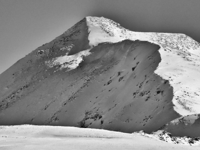
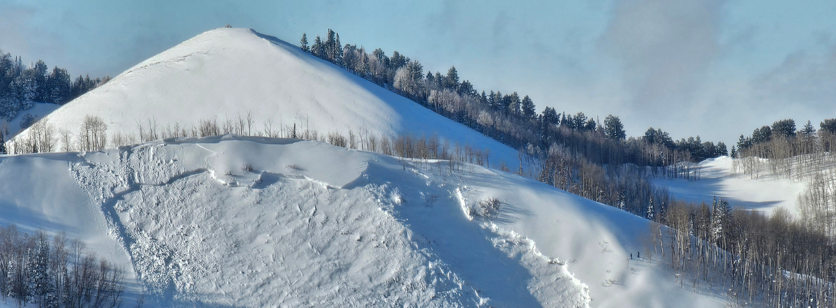
Avalanche observations are limited in the Uintas, but in my travels I spotted what appear to be two crowns from avalanches in heavily wind-loaded terrain above 11,000' on Lamotte Peak on Tuesday. Take a look at the right side of the image below, in the shaded snow below the ridgeline: