Forecast for the Uintas Area Mountains

Issued by Craig Gordon on
Friday morning, March 22, 2019
Friday morning, March 22, 2019
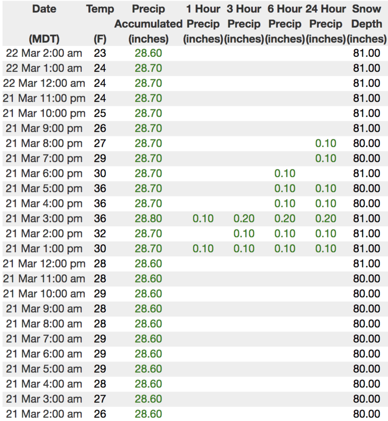
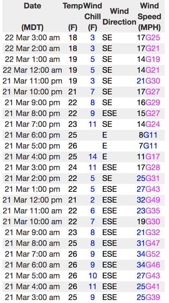
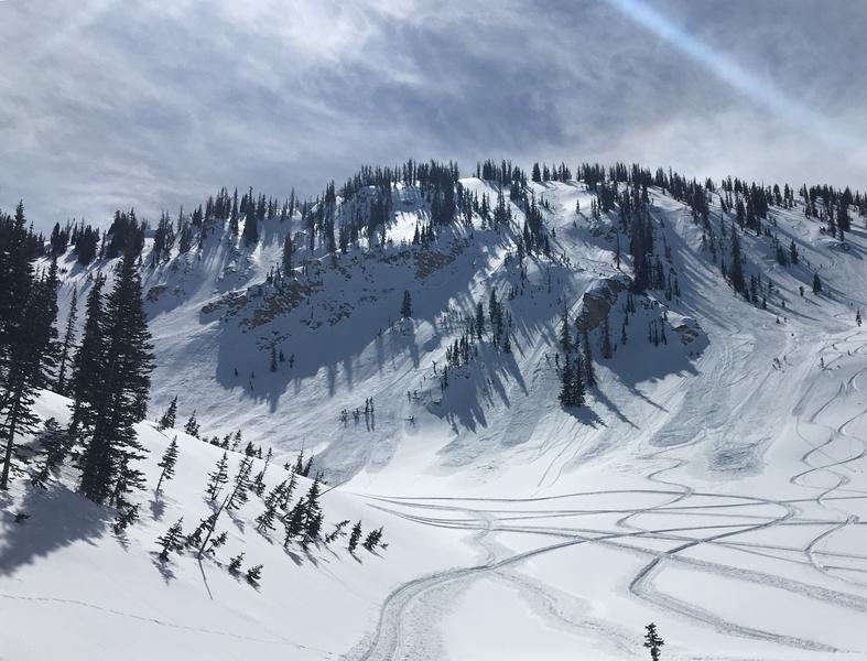
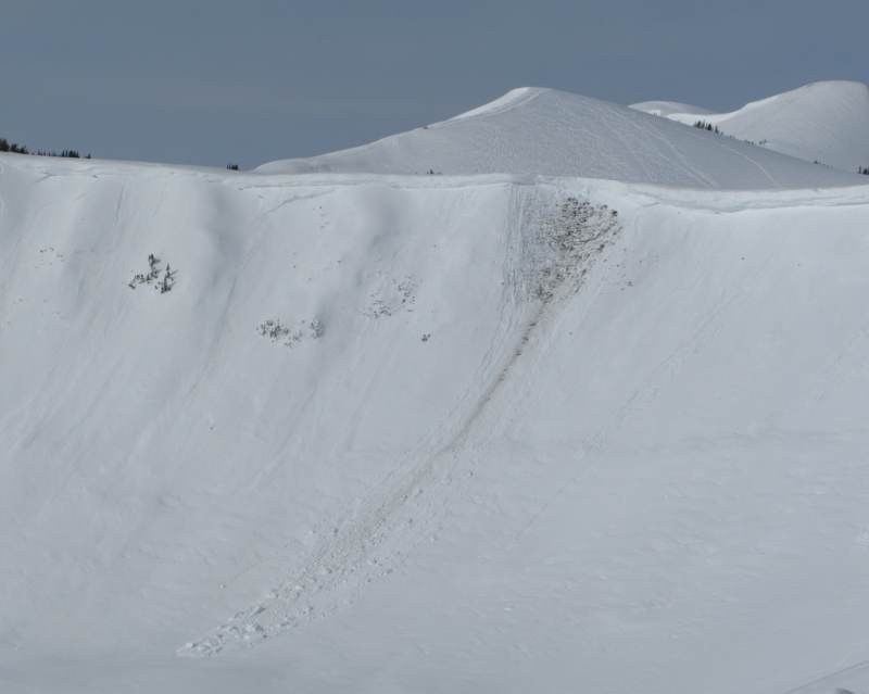
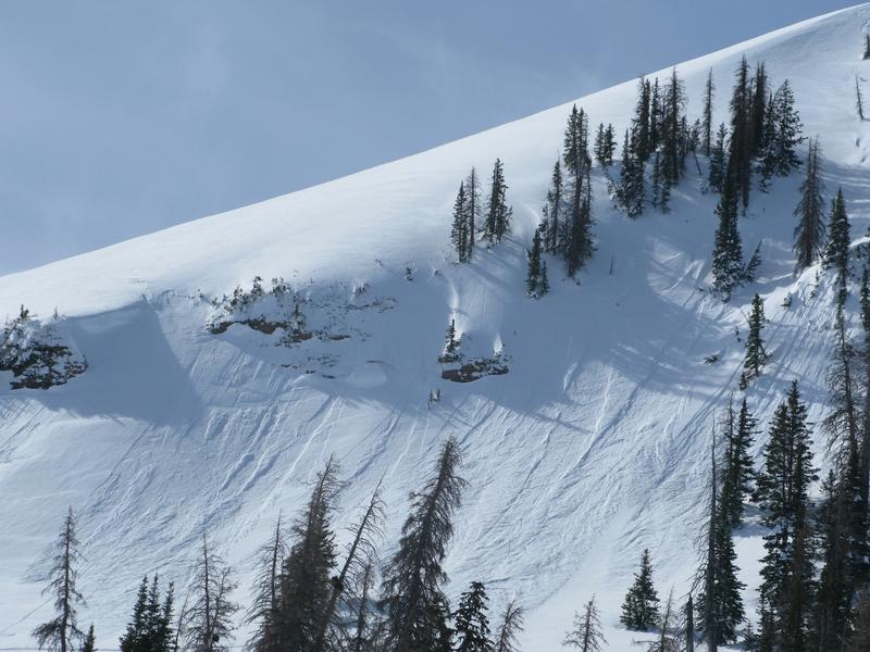
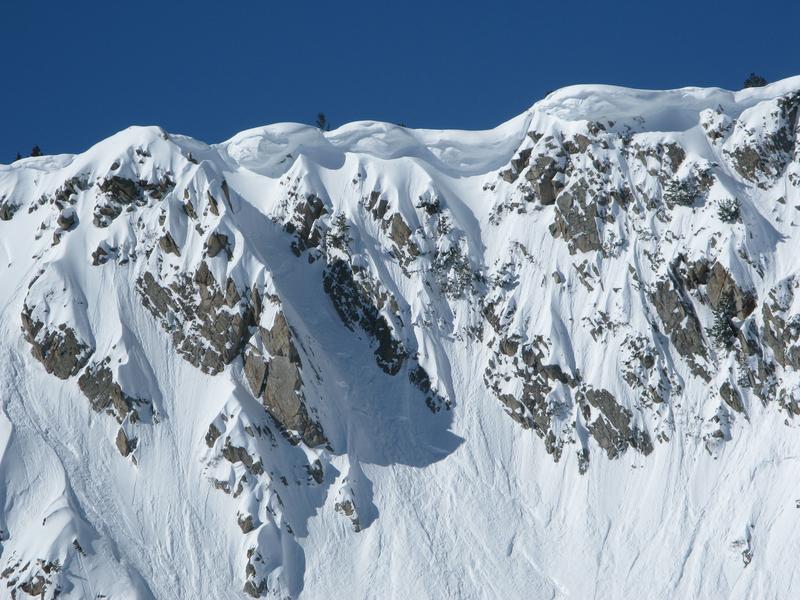
The avalanche danger is generally LOW this morning and both human triggered and natural avalanches are unlikely. With additional snow and wind on tap today, the danger in the wind zone may rise to MODERATE by late in the day. While not widespread and depending on the storms arrival, fresh wind drifts could become sensitive to our additional weight by days end.

Low
Moderate
Considerable
High
Extreme
Learn how to read the forecast here