Forecast for the Uintas Area Mountains

Sunday morning, November 30, 2025
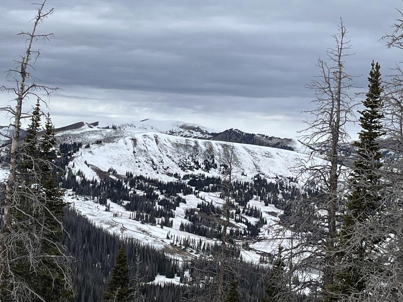
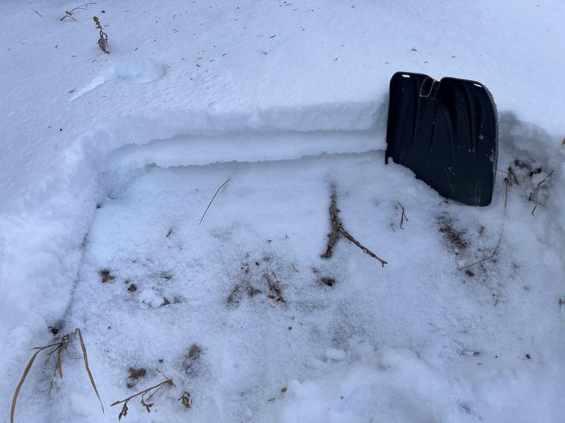
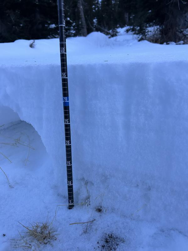
The good news... contiguous pieces of snow are easy to identify and confined to upper elevation, shady slopes. The bad news... those are exactly the types of slopes that offer the greatest danger, because where it's white... it's weak! While the avalanche danger is generally LOW this morning, storminess is on the doorstep and conditions could get spicy in a hurry. As the storm evolves, look for and avoid steep, wind-drifted slopes in the wind zone above treeline, especially those that harbor weak, early season snow. If today's storm overachieves in either the snow or wind department, pockets of MODERATE avalanche danger may quickly develop on these same slopes.
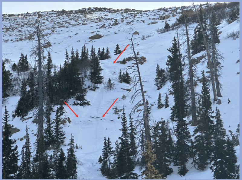
It's super thin out there, so I gotta remember... even a small slide has the potential to knock me off my feet and take me for an unexpected, season ending ride through trees and rocks or even over a cliff band.


