Check Out Our Holiday Auction!

Forecast for the Uintas Area Mountains

Craig Gordon
Issued by Craig Gordon on
Saturday morning, November 29, 2025

Thanks for checking in... winter is tardy and your patience is greatly appreciated! Daily forecasts and danger ratings typically kick off in December. But, while we anxiously wait for the return of regular programming, please check back often for weather and general snow conditions as the seasons start to shift gears.

Low
Moderate
Considerable
High
Extreme
Learn how to read the forecast here
Special Announcements

There's no shortage of family friendly events this week... please join us!
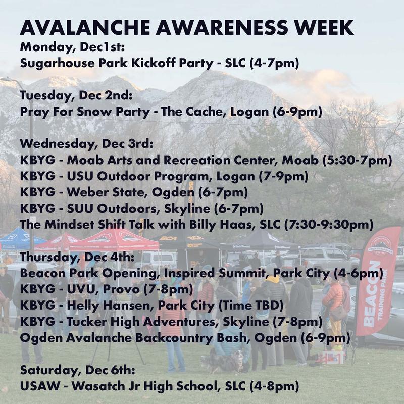
But wait... there's more! Save the dates and visit the following links for more information!

Weather and Snow

Nowcast- A dry cold front slid through the region overnight, ushering in a band of high clouds and much cooler temperatures. The mercury starts its day in the mid teens, while northwest winds blow in the 20's near high peaks, producing a crisp windchill at -2 degrees.

Forecast- Look for mostly cloudy skies with temperatures climbing into the low 30's. Winds switch to the west and southwest as the day progresses, helping to open the door to another moisture starved storm. A meager shot of snow is on the horizon for early Sunday morning, but it's mostly just an eyewash, producing 2"-4" of fluff.

Futurecast - Don't let your hearts be troubled, the weather pattern remains active with a more hopeful shot of snow materializing midweek.
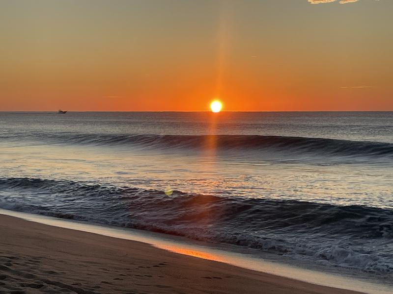
So as sure as the sun will shine... I'm gonna get my share now, what's mine. The Baja surf trip is wrapped up... now winter can winter :)

Recent Avalanches

No new avalanche activity has been observed across the range. For now, check out all the field reports across the range below!

Additional Information

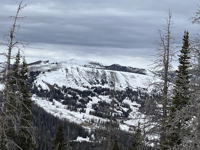
The overall snowpack is 6"-12" deep in many areas above 9,500' across the range, but isolated to shady slopes. And as you might've guessed... the old snow has grown weak and sugary.

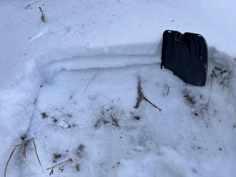
Ted got some eyes on Double Hill yesterday and reports spotty, shallow, and generally weak snow prevailing on the mid and upper elevation shady's. A midpack raincrust is the only notable body in the snowpack structure near Gold Hill.

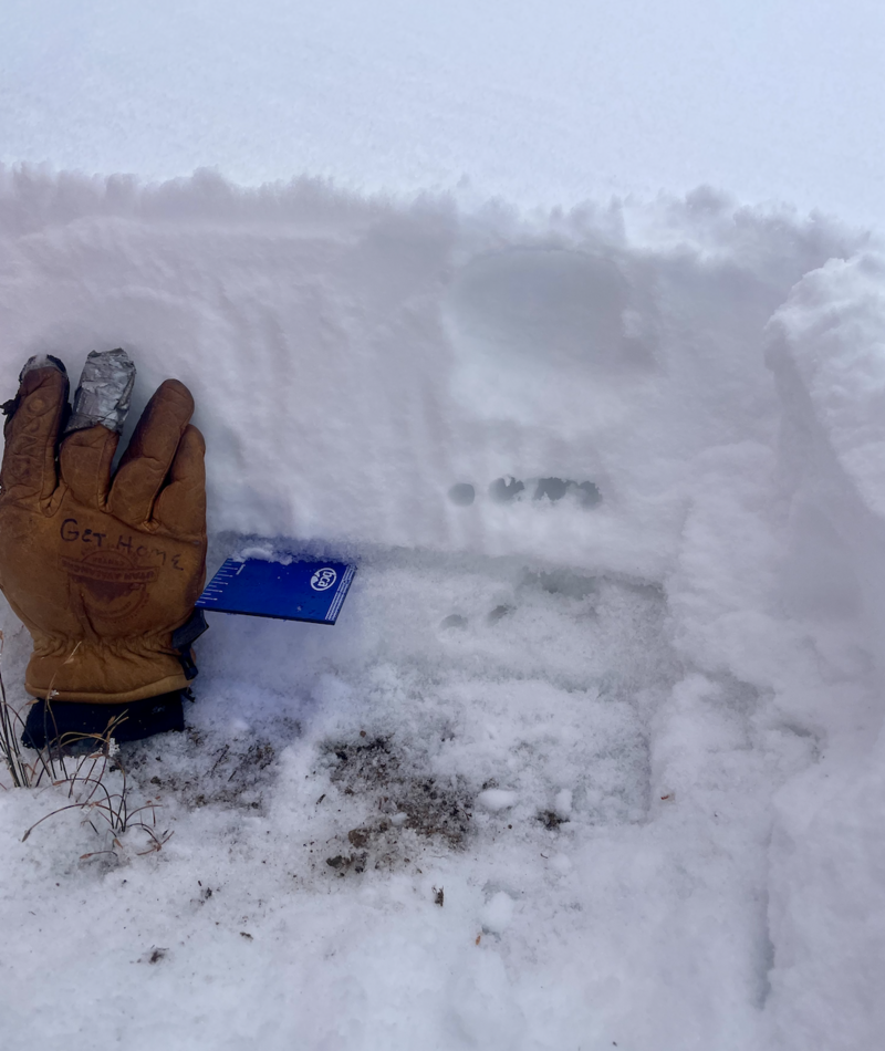
A north facing slope at 10,700' near Bald Mountain Pass on a wind sheltered slope. Slightly deeper than what Ted saw near Gold Hill yesterday, though the midpack crust is easy to identify.

General Announcements

We are always looking for snow and avalanche observations or just general riding conditions. Reach out to us with questions, concerns, or if you see anything in your travels! Contact us directly through the info below:

This forecast is from the U.S.D.A. Forest Service, which is solely responsible for its content. This forecast describes general avalanche conditions, and local variations always occur. This forecast was issued on Saturday, November `29th at 04:00 AM and expires 24 hours after it was issued.