Two Utah men died in avalanches on Friday - Tommy Hawkins of Layton, Utah (
snowmobiling near upper Palisades Lake, Idaho) and Scott Pehrson, of Monticello, UT (
snowmobiling in the eastern La Sals, UT) We offer our deep sympathy to the family and friends of these two men.
In Utah, a huge thanks to members from San Juan and Grand County Search and Rescues, Utah Department of Public Safety, and professional avalanche rescue dogs and handlers from Wasatch Backcountry Rescue, Alta, and Park City Ski areas who conducted recovery efforts.Wind has been a significant factor with all of the avalanche activity over the last two weeks. It looks like it will again be somewhat breezy today which will again transport snow. We'll see partly cloudy skies with high temperatures in the upper 20s.
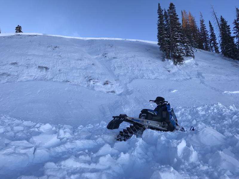
A local snowmobiler triggered a sizable avalanche near Logger's Fork Reservoir on Saturday. He was not caught. It appears that this avalanche follows suit with other recent avalanches in that it broke deep into old weak sugary snow.
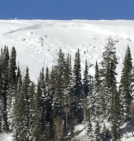
There was another avalanche near the Seely Creek guard station outside of Ephraim Canyon on Saturday also. It was possibly "remotely" triggered by snowmobilers but it also may have released naturally from the wind drifting snow onto the slope during the day. The fracture line was reported to be up to 15 feet deep.
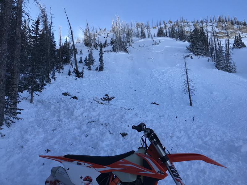
My partner and I stumbled onto another avalanche that looks like it released within the last day or so. It was near Island Lake outside of 12 Mile Canyon. It was most likely a natural avalanche caused by wind drifted snow but there's a slight chance it was triggered remotely by snowmobilers. Like the rest, it broke into older weak sugary snow.