Forecast for the Salt Lake Area Mountains

Issued by Bo Torrey on
Friday morning, March 6, 2026
Friday morning, March 6, 2026
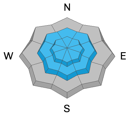
A CONSIDERABLE avalanche danger exists on upper elevation slopes where heavy snowfall and wind are creating sensitive soft slabs up to 2 feet thick. Human-triggered avalanches are likely, and natural avalanches are possible. The storm snow is bonding poorly to the old snow surfaces, resulting in new snow avalanches running fast and further than expected. Any avalanche triggered on slopes facing W-N-E has the potential to stepdown and trigger a much larger avalanche that fails on a buried persistent weak layer 3-4 feet deep and hundreds of feet wide.
Careful snowpack evaluation, cautious route-finding, and conservative decision-making are essential.
Don't let the excitement cloud your judgment; take a deep breath and slow down.

Low
Moderate
Considerable
High
Extreme
Learn how to read the forecast here