The ski conditions greatly improved, yay.
Overall, the key takeaways today were how the new snow was behaving at the old snow interface and the wind drifting. On both the solars and the polars, the new snow was not bonding very well to the old snow surface. On the solars, there was a generally supportable crust, which was easily sluffing the new snow off during skinning and while skiing. Overall, the new snow was low-density and did not have much body, but as the storm, PI, and winds pick up and the low-density snow transitions into something a bit more cohesive, I would expect shallow soft slabs to become sensitive on the solars.
On the polars, the new snow was also not bonding very well to the old snow surface, with sluffing that was entraining snow, but it was generally slow-moving and low-density. In one steeper section of Hideaway Park, the sluffing snow behaved a bit more like a slab, entraining 4–8" of cohesive snow, but it remained slow moving and never stepped down deeper to any of the crusts from the last rain event.
Where we traveled was generally protected from much wind drifting, but it was obvious along ridgelines and sub ridges. I would expect sensitive wind drifts along ridgelines and in catch features, particularly on east-facing aspects.
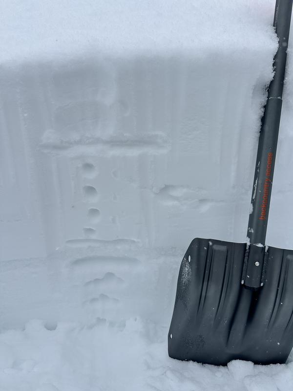
We dug down to look at the structure and crust interfaces. We were unable to get propagation at or around any of the recent crust interfaces, but the snow structure is a bit weaker between the two crust interfaces about 50–60 cm below the new snow surface. Currently, there is a 1F slab sitting on top of the rain crust, which sits on top of 4F snow from mid February.
NE Aspect - 9900' - New snow sitting atop the 1F slab sitting on top of the rain crust with 4F snow beneath - no results