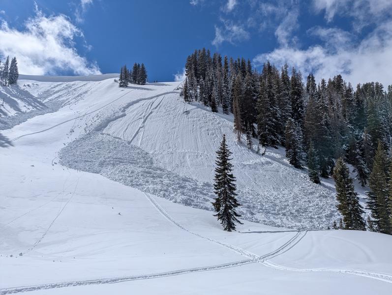
Week in Review for Friday, February 20th - Thursday, February 26th, 2026
We look back at the key events from the previous week. Click HERE for archived forecasts.
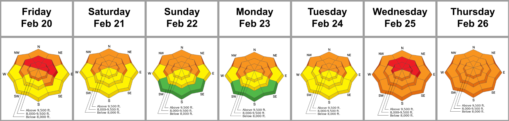
Summary: We start this week already rocked from two avalanche fatalities from Wednesday (Ant Knolls) and Thursday (Rock Garden area of the Brighton backcountry). A Special Avalanche Bulletin is issued Friday through the weekend, anticipating a dangerous mix of blue skies, excellent powder, and dangerous conditions. Tragically, the string continues, with two full burials in Butler Basin of BCC on Saturday (one injured, one killed) and another fatality on Sunday in the Caribou Basin area in the Wasatch Back. A powerful atmospheric river storm arrives Tuesday into Wednesday, ramping the danger back up to HIGH, along with an Avalanche Warning. Hard slabs failing on the PWL up high, wet slabs failing on the PWL down low, and dense wind slabs all round out the action.
Friday, February 20th: The storm winds down and the Avalanche Warning transitions to a Special Avalanche Bulletin. The danger is pegged at CONSIDERABLE. Trent’s video captures the current conditions:
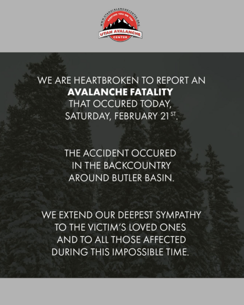
Saturday, February 21st: Forecasters worry that blue skies and powder fever will lead to accidents. By the end of the day, eleven avalanches were reported to the UAC, with two full burials in upper Butler Basin. Fortunately, they were quickly recovered by another party (of doctors and medical professionals) in the area, yet one remains in critical condition. Across the street, a snowboarder was caught, carried and strained through some trees and required assistance from SL County SAR to be evacuated. In the Ant Knolls on the Wasatch Back, a snowmobiler is caught and carried in a 3’ deep and 500’ wide avalanche but ends up unscathed. He writes that “Our plan was to stay off the steep slopes, but the amazing fresh snow was too tempting. Grateful to ride out yesterday.”
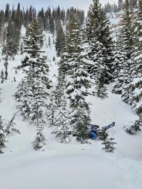
Very close call near the Ant Knolls
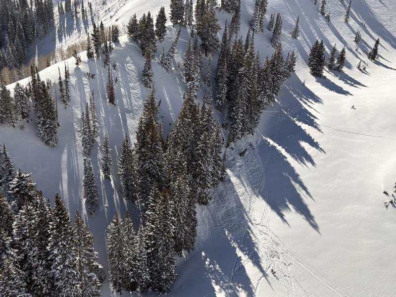
Site of two full burials in Butler Basin on Saturday
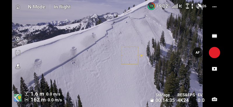
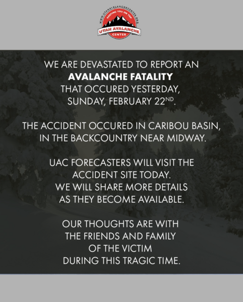
Sunday, February 22nd: Skies are clear, but by the end of the day, we hear of a full burial in the upper Caribou Basin area in upper Snake Creek (along the Wasatch Back). Rescue and recovery was difficult as the man did not have a transceiver signal and was subsequently recovered the following morning. (Meisenheimer photo below).
Monday, February 23rd: Skies remain clear and avalanche conditions remain dangerous. A clear illustration of this is in West Porter of Mill Creek where the 5th skier on the slope triggers the slab on the persistent weak layer on a steep northeast aspect at 9100’.
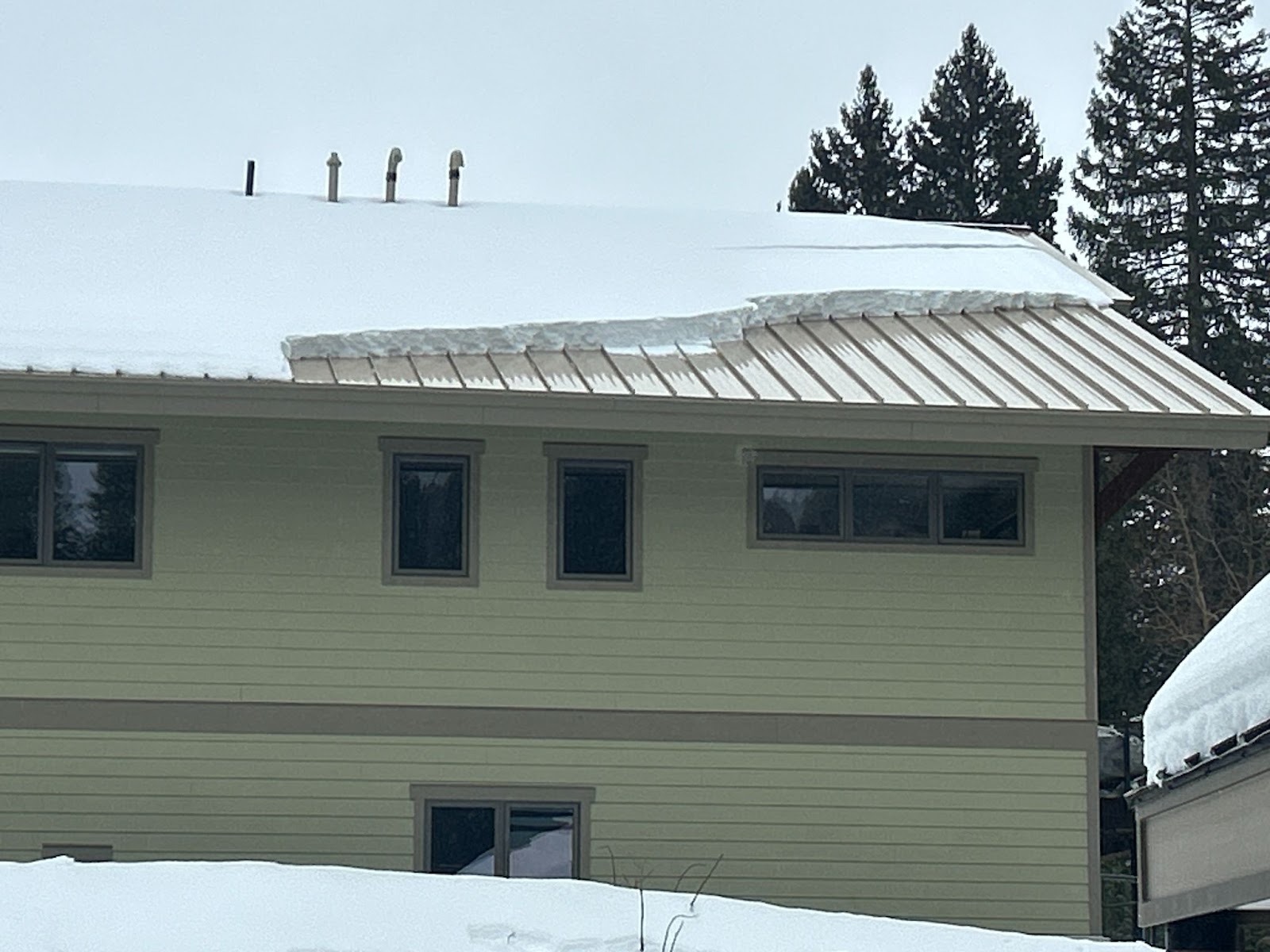
Tuesday, February 24th: The Pineapple Express (currently known as an Atmospheric River) arrives and the rain/snow line flirts with 9-9500’. No avalanches are reported, but rooflines are shedding storm snow. 0.25-0.45” of rain is reported by the close of business. Moderate to strong winds out of the west accompany the storm. Bo Torrey reports on the current conditions near the Ant Knolls -
Wednesday, February 25th: Precipitation totals are 1-2” of rain up to 8500’ with a few soggy inches up high. We issue another Avalanche Warning with HIGH danger across northern Utah. Avalanche activity ran the gamut of natural hard slab avalanches failing on the PWL, wet slabs at and below the rain-snow line of 9000’, and stubborn and dense new wind slabs in the higher elevation bands.
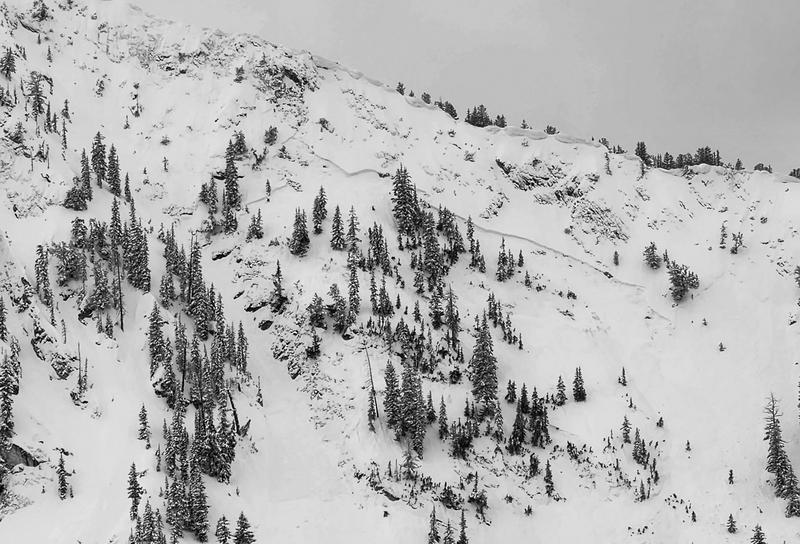
Natural hard slab in upper Big Cottonwood Canyon on Wednesday
Thursday, February 26th: A trace of graupel in the wee hours followed by blue skies and puffy clouds through the afternoon. On the Wasatch Back, a snowmobiler triggered an avalanche very near the avalanche that killed the rider on Sunday.