TONIGHT - Livestream presentation on Instagram, Craig Gordon will cover the State of the Snowpack followed by a Q&a session. Share with a friend and tune in @UTavy
We know there is a lot of uncertainty regarding the Coronavirus, but the Utah Avalanche Center is planning to continue issuing regular avalanche forecasts into April.
Uphill Travel at Ski Areas - Some resorts will be offering limited uphill access, but not all do. Current info about uphill access from Ski Utah is posted
HERE.
Overnight an additional 1-2 inches of snow fell. Combined with yesterday's snow, totals since yesterday morning are 6-12 inches (0.5-0.9 inches of water).
Temperatures this morning range from the upper 20s to upper teens F depending on elevation. Winds are about as calm as they can get and are only blowing 2-5 mph from the W at 11,000 feet.
Today, an area of low pressure will be parked over Nevada bringing cloudy skies and intermittent snowfall. Total snow accumulations should only be a few inches but up to 4 inches is possible. Air temperatures should only warm into the mid 30s F around 8000 feet. Winds should increase some this morning but still remain mostly light from the northwest.
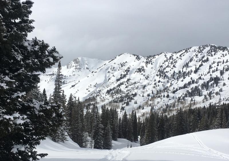
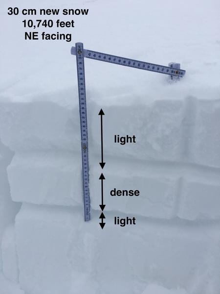
The new snow yesterday started very dense but finished lighter which made the riding conditions quite good. Some sunshine (photo below) getting through the clouds warmed south and west facing slopes yesterday afternoon making the snow a little damp. That snow should have a slight ice crust this morning.
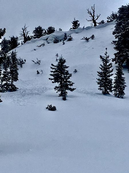
Yesterday there was some
sluffing of the new snow and a few shallow
soft slabs of wind drifted snow (photo - Grainger). On Tuesday a large chunk of cornice fell in
upper Days Fork and carried some snow downhill with it.
Cornices are quite large this time of year. When walking on a ridgeline, it's sometime easy to not realize that you are walking on top of a huge, overhanging cornice. Don't take chances with these unpredictable monsters that can break at random times, often further back than you think.
No avalanches were observed as a result of yesterday's earthquake.


