Greatest Rain on Earth?!?: Forecaster Drew Hardesty penned a new essay about high-elevation rain and the warm-snow drought HERE.
Weak Snow: Today's Surface, Tomorrow's Avalanche Problem: Essay by UAC Director Paige Pagnucco HERE.
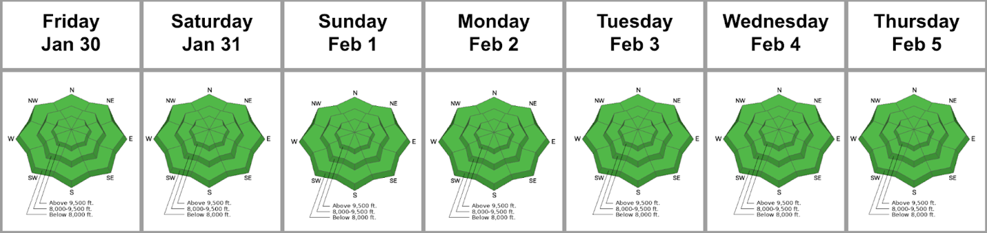
Currently, the skies are clear. Temperatures are in the upper 20s to low 30s°F. Most sites recorded several hours of below-freezing temperatures, which should provide a longer window for safer and supportable travel on sunny slopes. Overnight, winds blew from the west at 10–20 mph, with gusts into the 30s at 11,000 feet.
Today, we'll see increasing cloud cover, with daytime temperatures climbing a few degrees higher than yesterday, into the upper 40s °F. The wind continues to blow from the WSW, at 10-20 mph.
Looking ahead: We will start to see a change in the weather on Monday as a storm moves across northern Utah. We could see a few snowflakes, but accumulation doesn't look to begin until Tuesday or Wednesday. There is still a wide range in potential snowfall, but some accumulation is likely, and the weather looks to remain active through late next week and beyond.
The Week in Review is hot off the press. You can find it HERE.
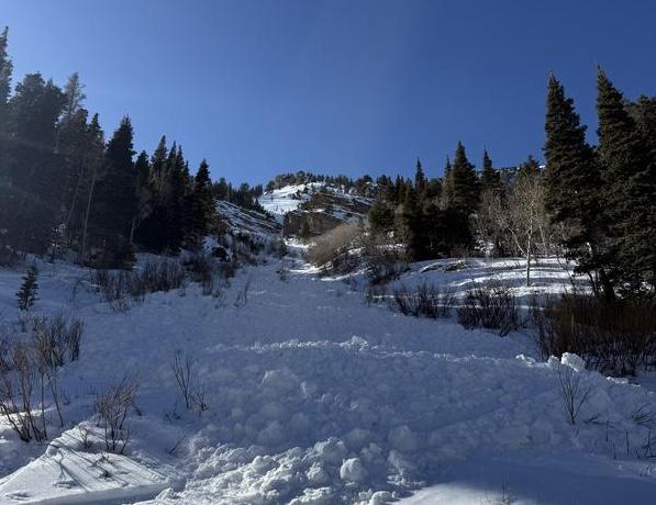
- Mt. Raymond: Yesterday, while descending an east-facing slope at 9,800 feet, a group triggered several wet-loose avalanches. View their write-up HERE.
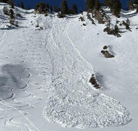
- Kessler Peak: On a southeast-facing slope around 9500 feet. A group of skiers triggered a wet-loose avalanche that entrained snow in steep, confined terrain and produced a sizeable debris pile. View their write-up HERE.
You can view recent observations here.