Week in Review for Friday, January 30th - Thursday, February 5th, 2026
We look back at the key events from the previous week. Click HERE for archived forecasts.
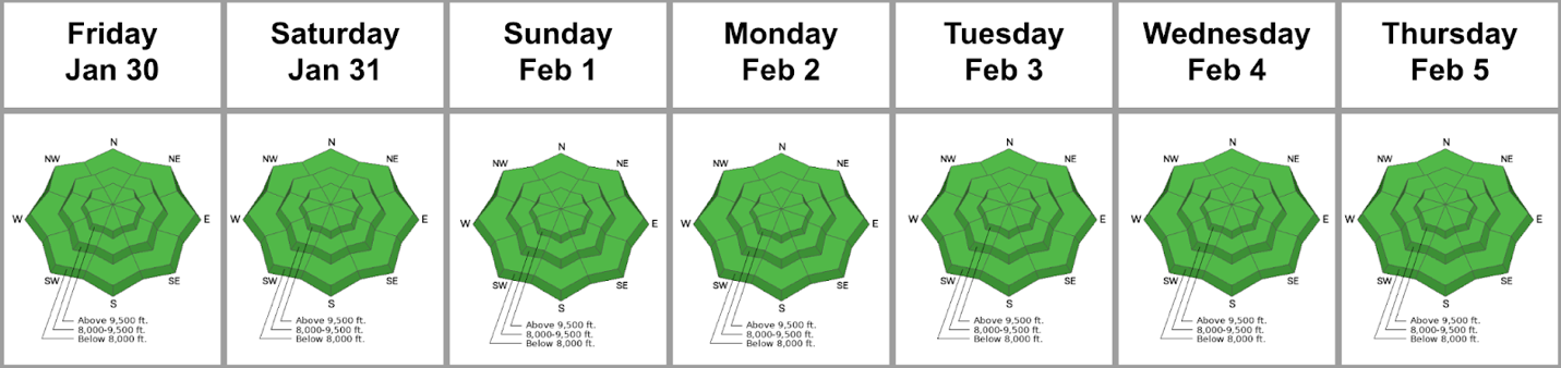
Summary: High and dry conditions prevail. The 2-3” that fell on Thursday, January 29th greatly improved the skiing and riding conditions, but this new snow soon fell prey to the workings of sun, wind, temperature, and diurnal recrystallization. The mid-week forecast (image below) shows not one but two blocking patterns setting up to swat away any potential storms. Avalanche activity includes human-triggered facet sluffs, pockets of shallow wind slab, and some wet loose sluffs by the end of the week. The danger remains at LOW for the week.
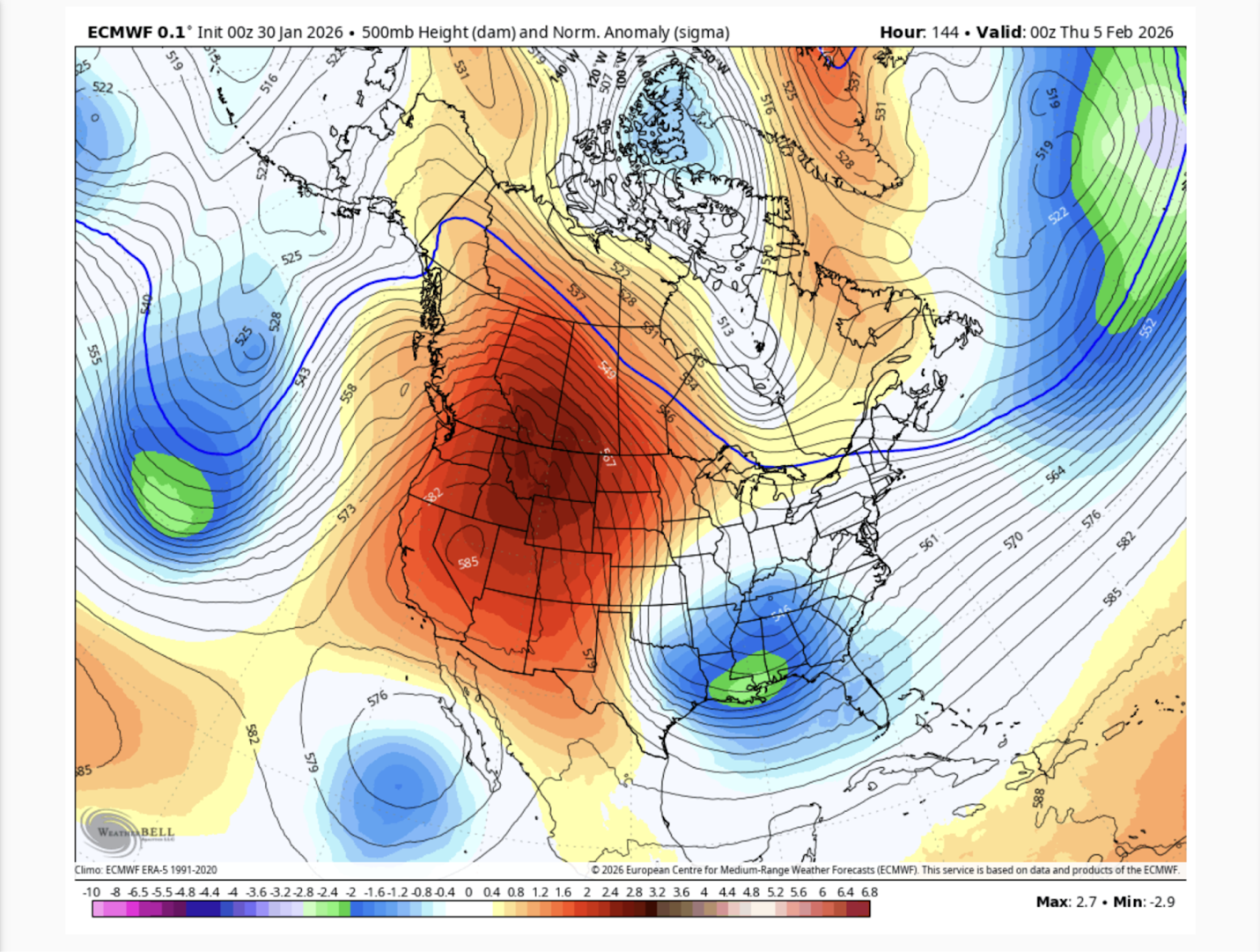
(An Omega Block has a ridge of high pressure bounded to the east and the west by low pressure systems - looking like the Greek symbol Omega - whereas a Rex Block is high pressure above a low pressure system to the south)
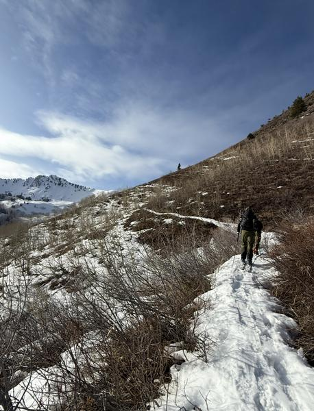
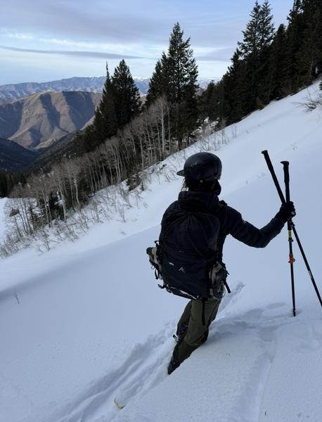
Friday, January 30th: Forecasters Nikki Champion and Brooke Maushund, along with UAC nonprofit ED Caroline Miller do a canyon to canyon to canyon tour and note the stark differences between solar and polar aspects: many solars are back to dirt while the polars continue to facet out.
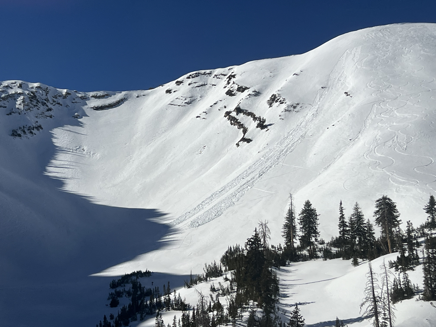
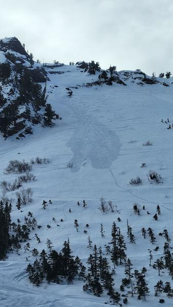
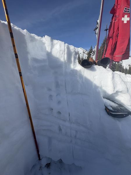
Saturday, January 31st: Skies are clear. More loose-dry facet sluffs. On Barrieto in Mineral Fork (BCC), a skier unintentionally triggers a facet sluff that takes out a party below, then subsequently triggers another sluff that catches and carries him. He is uninjured but finds that it’s worth submitting a report and lessons learned in this excellent report HERE. Photo below.
 .
.
Alta’s snow and water for the month and year, respectively, are as follows: January 2026 vs. 45-year January average: Snow 69'' vs. 95.18'', 72% of avg…and Snow-Water-Equivalent is 7.34'' vs. 7.65'', 96% of avg. Year to date: 2025-2026 vs. 45-year average: Snow 143'' vs. 282.23'', 51% of avg; Snow-Water-Equivalent is 18.31'' vs. 24.05'', 76% of avg.
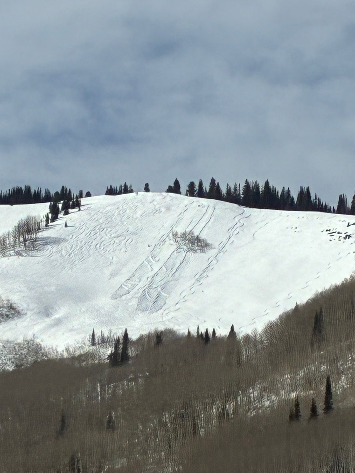
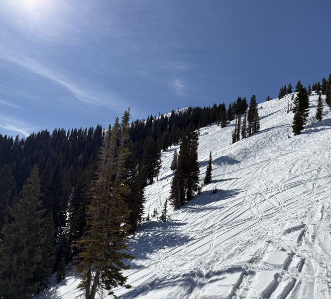
Sunday, February 1st: Continued weakening of the snow surfaces. Greg Gagne notes surface hoar at the snow surface in his travels along the upper reaches of Little Cottonwood Canyon. (pic1) Facet sluffs continue to be triggered in steep polar terrain. (pic 2, PCMR)

Monday, February 2nd: It’s Groundhog Day over and over and over again. Skies are clear, winds are light, temps are warm. Forecasters continue to use benign conditions as a way to travel long distances in the backcountry and make quality observations.
Tuesday, February 3rd: More of the same.
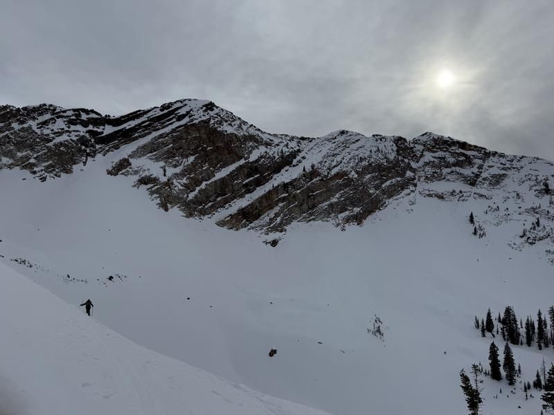
Wednesday, February 4th: Warm and sunny; minor wet loose and dry loose sluffs triggered in steep terrain. Avalanche professionals continue to stay on top of the snow structure; meanwhile Sean Zimmerman-Wall finds a backcountry that looks like the ski area in upper BCC.
Thursday, February 5th: Temperatures hit 50°F and higher in the mountains! Backcountry skiers trigger low volume wet loose avalanches in steep, sunny terrain. Hopes for a pattern change wax and wane with every weather model run every six hours…