Skies are partly cloudy. Mountain temperatures are in the upper teens up high, the mid-20s down low. Winds are hardly a whisper.
Sun and greenhousing severely impacted the riding conditions yesterday, even on some polar aspects, so it may be hunt and peck for today. Skies will be mostly to partly cloudy, with calm wind and temps rising to mid-20s up high, the mid-30s down low. Some instability showers may bubble up in the afternoon. The weekend looks clear with Old Man Winter on tap for next week.
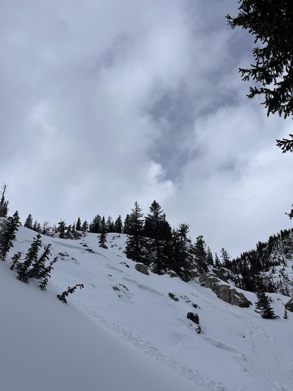
Storm totals from Wednesday/Thursday were a fairly even 8-12" of heavy dense snow with a rain-snow line of 7-7500'. Snow depths are 60-70" in the upper Cottonwoods and 40-50" along the Park City ridgeline. Trailheads and low elevation exits are thin and threadbare, if snow exists at all.
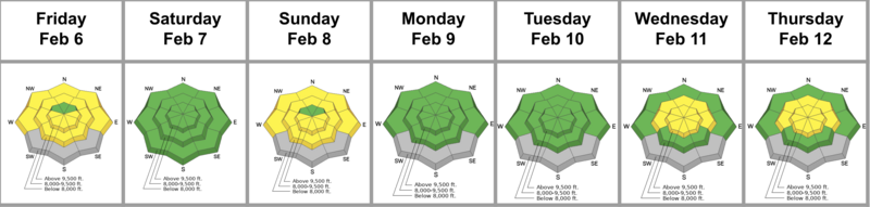
The Week in Review for Friday, February 6th - Thursday, February 12th, 2026 is hot off the press.
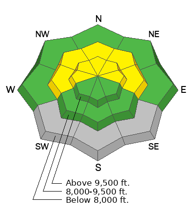
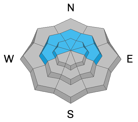
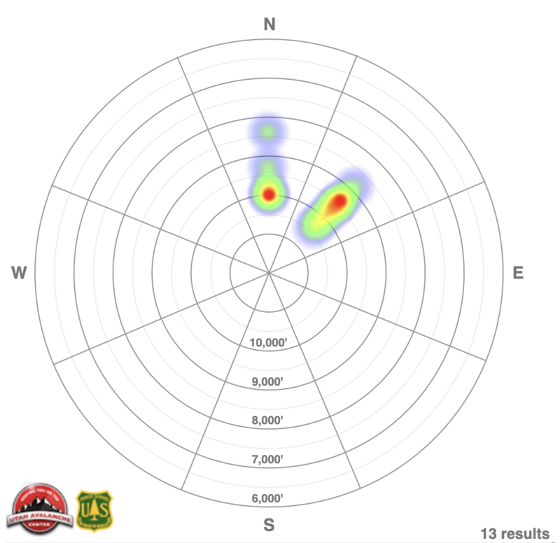
Avalanche control work at the ski areas produced sizeable (almost large enough to destroy a car) avalanches with explosives in the high alpine terrain. In the backcountry, skiers and riders continued to find fairly sensitive avalanche conditions with many reports of intentional, unintentional, and remotely triggered soft slabs failing about a foot deep and up to 60' wide. All of these soft slabs failed at the new/old interface where exceptionally weak faceted snow exists from the January drought. Most of the avalanches over the past two days have released on north to northeast facing slopes in the mid and upper elevations, but as low as 8350'. See heat map below.
You can view all recent observations here.