Holiday Auction is Live!

Forecast for the Salt Lake Area Mountains

Trent Meisenheimer
Issued by Trent Meisenheimer on
Monday morning, November 16, 2026

Today, expect small, dry-loose avalanches on steep slopes and pockets of shallow, wind-drifted soft slabs along upper-elevation ridgelines. Even a small avalanche could have serious consequences in our thin, rocky, shallow snowpack.

With faceted weak snow already in place and a series of storms approaching, expect avalanche danger to rise through the week, potentially producing avalanches large enough to bury a person.
Low
Moderate
Considerable
High
Extreme
Learn how to read the forecast here
Special Announcements

Each resort in Utah has its own uphill travel policies. Check out the summary of each resort's policy before traveling uphill. For further questions, contact the resort directly.

SAVE THE DATE!

Weather and Snow

Under partly cloudy skies, mountain temperatures range from 27°F at 7,400 feet to the 30s and 40s°F along the highest ridgelines, indicating a temperature inversion. Southwest winds average 10–20 mph with gusts into the 20s and 30s.

Cloud cover and southwest winds increase today as the first in a series of Pacific storm systems approaches. Increasing moisture and large-scale ascent should bring snow showers overnight into Wednesday, with 6–12 inches of accumulation possible.

A second, more moisture-laden system arrives Thursday, potentially bringing a prolonged period of snowfall through the weekend. An additional 10–20 inches of snow and 1.25–2.50 inches of water are possible. Beyond the weekend, the storm track looks to remain active as a progressive Pacific pattern continues to favor the region.

After a prolonged dry spell, this is a welcome shift in the large-scale pattern. Bring it on!

Recent Avalanches

Yesterday, a number of backcountry travelers reported dry-loose avalanches on steep terrain, along with a few small soft slabs involving recent storm snow. Be sure to check out all the latest observations HERE.

Avalanche Problem #1
Normal Caution
Type
Location
Likelihood
Size
Description

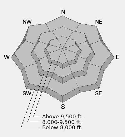
For today, I expect small dry-loose avalanches in steep, sustained terrain, along with a few small, wind-drifted soft slabs along upper-elevation ridgelines. While these avalanches should be relatively small, even a short ride could carry you over rocks and other exposed hazards, resulting in serious consequences.

Faceted weak snow exists within the snowpack, although its distribution varies by aspect and elevation (see Greg's video below). With additional snowfall and significant water loading expected later this week, I anticipate avalanche conditions becoming increasingly dangerous. By the end of the week, we could see avalanches large enough to bury a person, particularly where new snow accumulates over existing weak layers on the north half of the compass.

Additional Information

It's never too early to start thinking about avalanches. Here are a few things to consider doing:

  • Learn online. We have over 5 hours of free online learning at the Know Before You Go website
  • Check out the upcoming in-person Know Before You Go events HERE
  • Sign up for an on-snow class
  • Check out the UAC's education progression HERE
  • Get your avalanche rescue gear ready for winter. Put fresh batteries in your transceiver and update the firmware. Inspect your shovel and probe. Get your airbag backpack ready by possibly doing a test deployment and updating the firmware if it is an electric version or getting your canister refilled if it's not electronic.