There's been no shortage of October precipitation in the Central Wasatch, and it has primarily fallen as rain below 10,000 feet. While dry, warmer periods in the month led to a significant portion of this burning off to dry ground, shaded upper elevation slopes—like Mount Baldy in upper Little Cottonwood below—have a patchy coat of white left. The forecast staff is back for the season, and we're tracking. It's never too soon to start Paying Attention. We invite you to follow along with us as you tune up your gear for the season ahead.
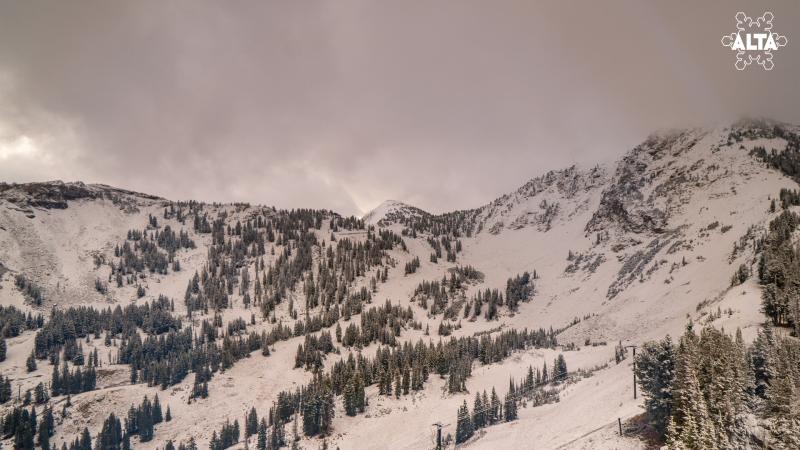
Mt. Baldy webcam 10:00 MT 10/31/2026
Another series of storms has moved into our area this weekend on a warm, southerly flow with dribs and drabs (<0.1 inches H2O // up to 0.5 inches snow) of precipitation falling primarily as rain today. An upper-level trough and cold front move in Sunday, bringing the bulk of the precipitation and best potential for snowfall. Favored areas hoping to see up to 1.5 inches of water by Monday midday. Expect there to be strong winds, a sharp drop in temperatures, and the possibility of thunderstorms with frontal passage later in the day on Sunday. The snow/rain line is the real uncertainty in this storm, leaving us to watch and wait. Above the rain line, this would be 1-2 feet of snow. Trent will have an update for you on Monday.
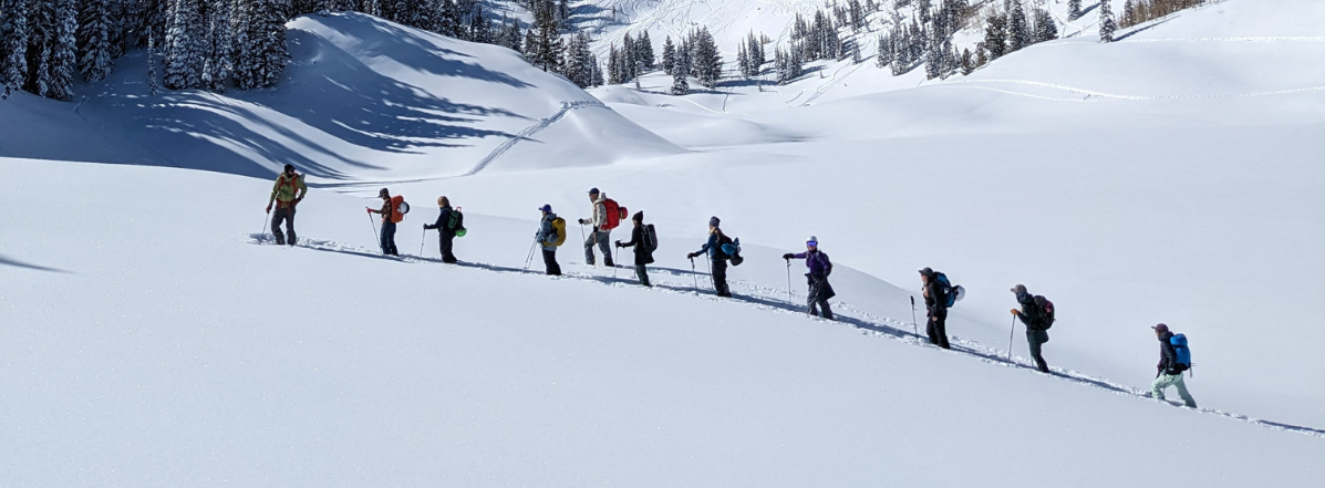
We've received a few snow and avalanche observations as people start getting out. UAC Forecasters Drew Hardesty, Dave Kelly, and Ben VandenBos got out in the
White Pine environs on 10/21. Find more
HERE.