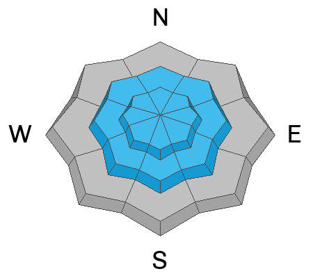
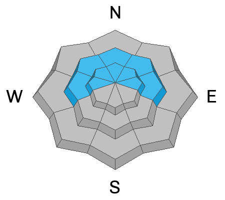
Be mindful of avalanche workers and SAR personnel - IF YOU TRIGGER an avalanche near a ski area, please report it to the ski patrol dispatch or Alta Central (801-742-2033). Rescue personnel don’t want to be subjected to dangerous conditions if the scene is clear. More on this in Backcountry Emergency Protocols
As of 5AM, skies are partly to mostly cloudy with a few lazy flurries floating down from the departing storm. Winds are from the northwest, blowing 10-15mph with gusts to 20. Along the most exposed ridgelines, anemometers are humming 25-35mph with some gusts to 50. Temps are just below 0°F up high and hovering in the single digits at all other stations.
Storm totals are 18-24" in upper LCC (1.25" snow water equivalent). This includes the extra 4-8" of very low density snow from the overnight hours. Totals in upper BCC and PC are roughly 10-16" with a trace to 2" overnight.
Skies will trend partly cloudy today with generally light to moderate winds from the north-northwest. Temps will slowly rise into the low teens up high, the upper teens down low. We'll have mostly sunny skies over the weekend and into next week with mountain temperatures warming into the 30s and 40s by Wednesday. I'm afraid Dry January is here, folks.
Forecaster Brooke Maushund's Week in Review is hot off the press. You can find it HERE.
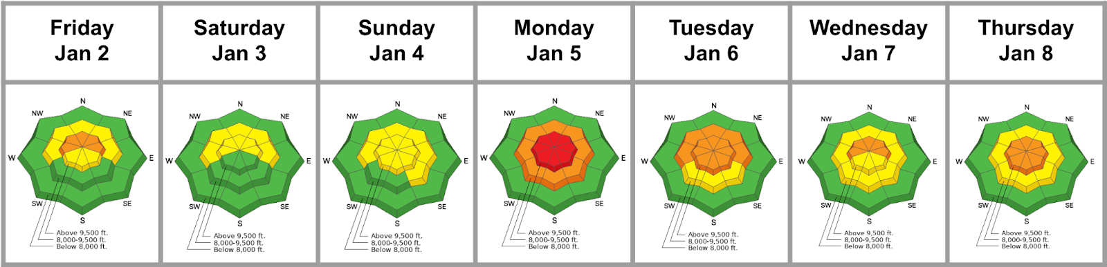
Forecaster's Corner: Certainly it was the blockbuster storm Sunday night into Monday that caught everyone's attention, but it was when it was quiet Monday night and early Tuesday where other interesting things began to happen: lingering moisture in the air produced feathers of surface hoar on many slopes and just enough sun and warmth led some solar aspects to develop a crust/facet layering on the snow surface. Similar processes to develop facets on the surface were taking place on the polar aspects, but without the crust.
What does this mean? It means that you may be able to trigger shallow soft slab avalanche, even at a distance, in areas that have developed a cohesive slab of snow (most likely in areas that have seen a touch of wind).
So, two take homes for today:
- Lots of spatial variability. You'll need to assess each slope separately, and be particularly wary where the wind has had its way with the low density snow.
- The skiing and riding will be 5 Star today...but the snow will move in steep terrain. Don't get tripped up in your own sluff and avoid triggering avalanches on people below. Similarly, avoid being in the runout zones of known avalanche paths (ie - The Superior apron). Thanks.
Special thanks to Chad Brackelsberg, Caroline Miller, Joey Campanelli, UAC staff and others -
Ski areas yesterday reported longer running sluffs in the new snow and localized soft but sensitive slabs with the wind blown snow. Some of these soft slabs were triggered remotely (at a distance). In the early morning hours...and again with a touch of wind and/or a bit higher snowfall intensity, some loose snow and soft slab avalanches ran naturally.
Read all backcountry observations here.