Forecast for the Provo Area Mountains

Nikki Champion
Issued by Nikki Champion on
Wednesday morning, November 4, 2026

Remember, early-season avalanches can have serious consequences, even when they’re small. Getting caught and carried through rocks, stumps, and downed trees can turn a short ride into a nasty one.

If you’re heading into the backcountry, carry a beacon, shovel, and probe, know how to use them, and choose your terrain carefully.
Low
Moderate
Considerable
High
Extreme
Learn how to read the forecast here
Weather and Snow

Roughly 1.5-2" of water has fallen in the Provo mountains since Halloween. The storm started warm and wet, then colder air Monday into Tuesday dropped the snowline to about 8,500'. Temperatures are in the low to mid-30s °F with light west winds.

The dense snow has started an early-season base, but it’s still shallow with rocks and obstacles just below the surface. Don’t let the fresh white coat fool you.

A fast, fairly dry system today brings temps up to 10°F below normal and a few light snow showers. Expect little accumulation, maybe 2" at the highest elevations.

High pressure takes over Thursday through the weekend with dry skies and warming temps, climbing above normal by Sunday. Next week could turn stormy again, but the models disagree, so don’t count on new snow yet.

Recent Avalanches

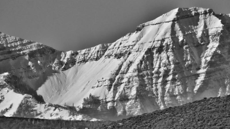
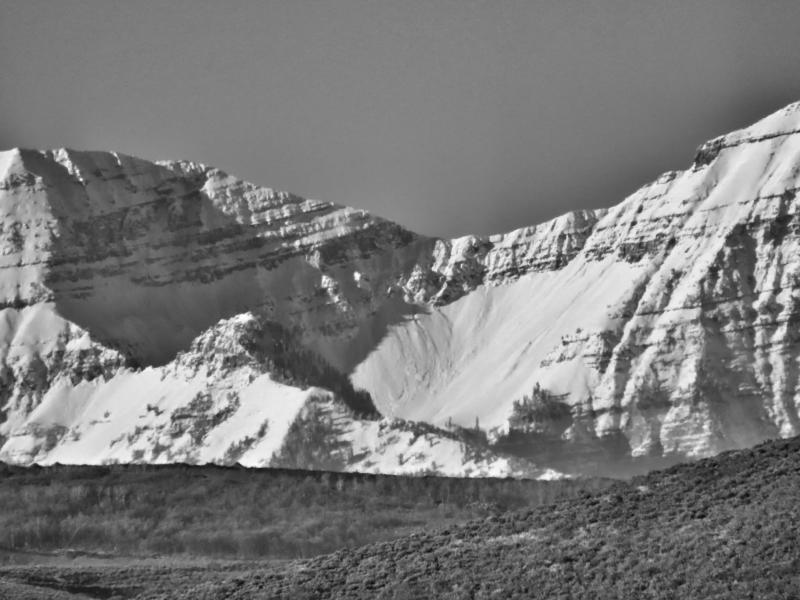
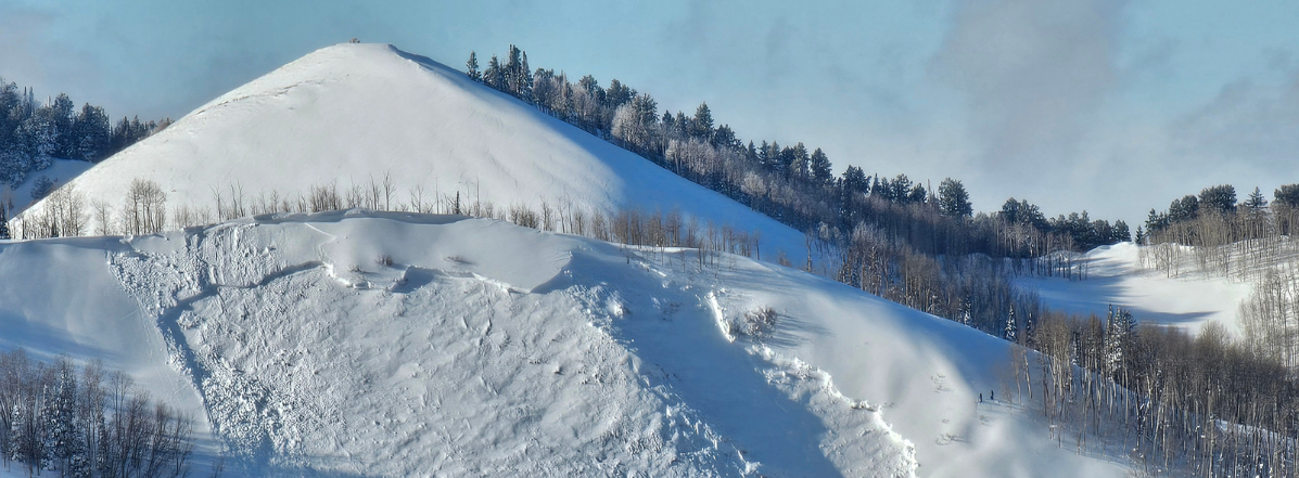
We’ve had very few observations from the Provo area mountains, but Uintas forecaster Ben VandenBos grabbed some great photos of wet loose avalanches just south of North Peak on Timpanogos. (See photos below). These likely ran during the rain-on-snow event.

If you’re getting out, keep submitting and checking observations.

Avalanche Problem #1
Normal Caution
Type
Location
Likelihood
Size
Description

As always, if there’s snow in the mountains, we need to be thinking about avalanches.

We have very few observations from the Provo mountains, but the upper elevations likely mirror the upper Cottonwoods. Yesterday, Dave Kelly found 18-24" of snow near 10,000' on a north-facing slope in Upper Little Cottonwood. About 8" above the ground, small, decomposing crystals sit on a melt-freeze crust, and he got failures on this layer in an extended column test and shovel shears, matching what Trent found earlier in the week.

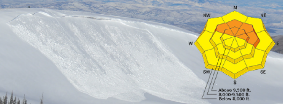
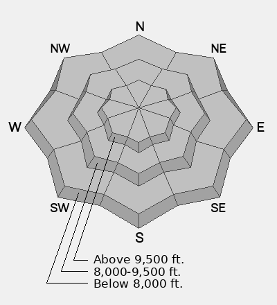
Slopes without old October snow have likely stabilized in the cooler temps. The main concern is northwest- through northeast-facing slopes above 9,500', where new snow sits on this weak layer. Cold nights, low November sun, and a shallow snowpack mean these slopes will keep faceting. Dig down in a safe spot and check the layering before committing to avalanche terrain.

The bottom line: It’s early season, and there’s no reason to push into steep avalanche terrain yet. Stick to lower-angle slopes, avoid traveling beneath steep terrain, and remember that even a small avalanche can have serious consequences in a shallow snowpack. There’s a long winter ahead!

Additional Information

SAVE THE DATES!

It's never too early to start thinking about avalanches. Here are a few things to consider doing:

  • Learn online. We have over 5 hours of free online learning at the Know Before You Go website
  • Check out the upcoming in-person Know Before You Go events HERE
  • Sign up for an on-snow class
  • Check out the UAC's education progression HERE
  • Get your avalanche rescue gear ready for winter. Put fresh batteries in your transceiver and update the firmware. Inspect your shovel and probe. Get your airbag backpack ready by possibly doing a test deployment and updating the firmware if it is an electric version or getting your canister refilled if it's not electronic.
General Announcements

Each resort in Utah has their own policies regarding uphill travel. Check out the summary of each resort's policy before traveling uphill. For further questions contact the resort directly.