Forecast for the Provo Area Mountains

Issued by Brooke Maushund on
Sunday morning, March 29, 2026
Sunday morning, March 29, 2026
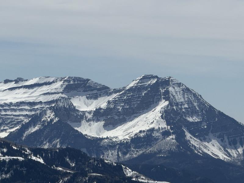
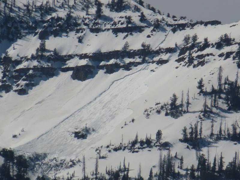
The avalanche danger is MODERATE. Without a refreeze last night, danger will increase throughout the day as rising temperatures make wet snow avalanches more likely. Start early, end early, and stay off and out from under steep slopes with unsupportable snow as the day goes on.
Today is our last daily forecast of the season. We will continue publishing observations as they come in, so please continue to submit them when you're out and about!
Low
Moderate
Considerable
High
Extreme
Learn how to read the forecast here