Forecast for the Provo Area Mountains

Issued by Bo Torrey on
Tuesday morning, March 10, 2026
Tuesday morning, March 10, 2026
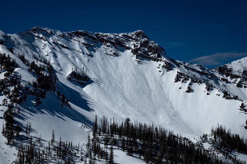
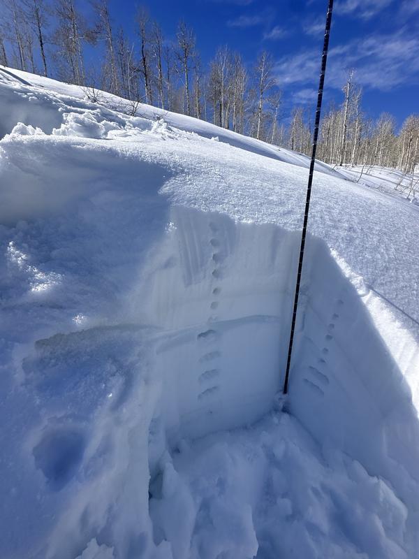
The overall avalanche danger is MODERATE. Sustained strong winds blowing from the west are creating heightened avalanche conditions on specific wind-drifted terrain features. Fresh slabs of wind-drifted snow may be hard or soft and up to 12 inches thick. Approach all upper-elevation slopes with caution, and carefully evaluate slopes steeper than 30 degrees where the wind has drifted snow.
Pay attention to warming snow conditions. If the sun comes out and quickly warms the snow surface, the potential for wet-snow avalanche will resume, and you should avoid travel on or beneath steep slopes.

Low
Moderate
Considerable
High
Extreme
Learn how to read the forecast here