Observation Date
3/9/2026
Observer Name
Hardesty and Woodruff, UDOT Provo Canyon
Region
Provo » Timpanogos
Location Name or Route
Timpanogos
Comments
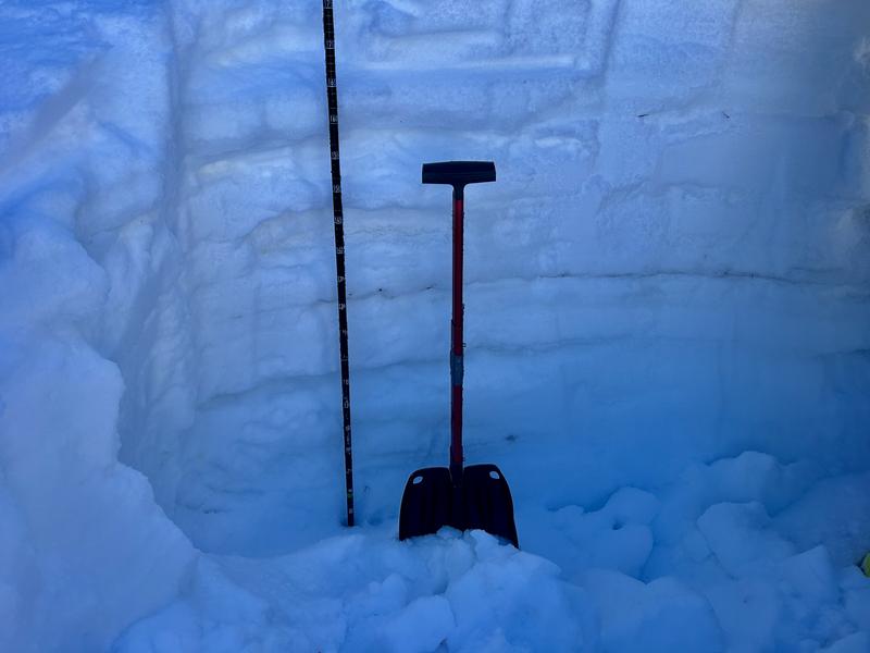
VERY structured snowpack on polars; only got as high as 9100' but found the January Dry Layer of facets now buried 60-80cm+ but protected by three rain crusts and lots of structure. Weakest snow is the faceting cold snow on the surface overlying the early Mar rain crust. My sense is that the old facets are now dormant and waiting for either a significant trigger (up high)...or subject to potential failure as a wet slab later on.
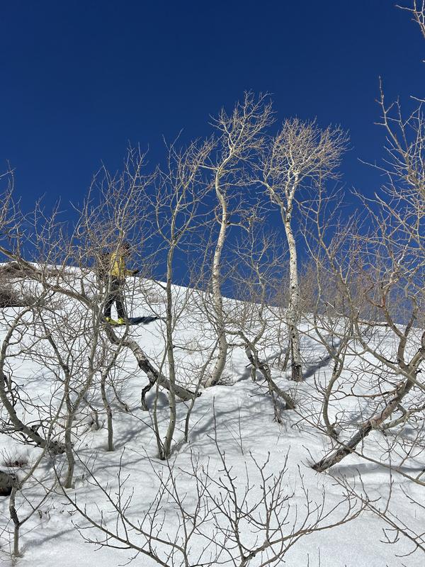
Some minor wet loose noted on easterly aspects emanating from the rockband....and classic touring in the southern Wasatch, below.

Today's Observed Danger Rating
Moderate
Tomorrows Estimated Danger Rating
None
Coordinates


