Forecast for the Provo Area Mountains

Issued by Drew Hardesty on
Wednesday morning, November 18, 2026
Wednesday morning, November 18, 2026
DANGEROUS AVALANCHE CONDITIONS EXIST.
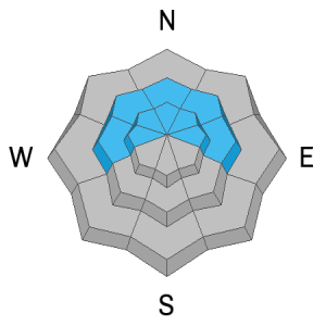
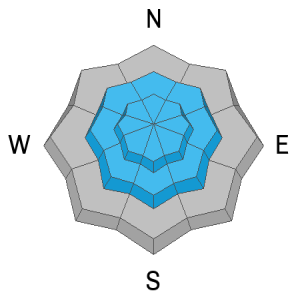
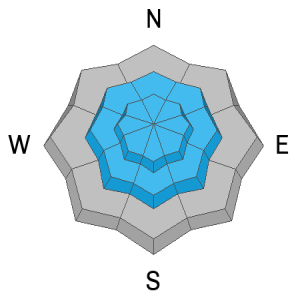
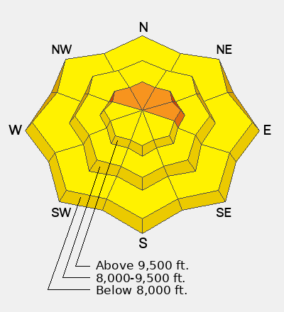
A CONSIDERABLE avalanche danger exists on steep northwest through east facing slopes in the higher elevation bands. You will be able to trigger soft slab avalanches both within the storm snow as well as more dangerous avalanches stepping down into early season weak sugary faceted snow. These avalanches will be up to 3 feet thick and you may trigger them at a distance.
Travel Advice: Stick to low angle terrain and be aware of overhead hazard. Be ready to assist with any rescue today.
Low
Moderate
Considerable
High
Extreme
Learn how to read the forecast here