Forecast for the Provo Area Mountains

Drew Hardesty
Issued by Drew Hardesty for
Saturday, November 12, 2022
Most terrain has a LOW avalanche danger and the snow is mostly stable. Know that minor sluffing is possible in steep northerly terrain.
With increasing southerly winds, however, I do expect the danger to rise to MODERATE for new and developing drifts of wind blown snow along the more exposed ridgelines today. Human triggered avalanches will be possible in this terrain. Out of the wind, the danger remains at LOW.
Low
Moderate
Considerable
High
Extreme
Learn how to read the forecast here
Special Announcements
Many ski areas are now closed to uphill travel in order to prepare for winter operations. Resort uphill travel policies can be found HERE.
Weather and Snow
As of 5am, skies are clear with mountain temps in the mid 20s up high, the upper single digits down low. Winds are light from the south at most stations but have increased to 25-30mph along the highest elevations. Coverage is decent with 15-30" of snow on the ground. Storm totals since Monday of 1-2' of snow containing over 2" of water.
A weak and diving storm system will bring high and then mid-level clouds to the Wasatch range today, along with warm temperatures and increasing southerly winds along the higher elevations. Mountain temperatures will rise to the upper 20s up high, the low 30s down low. Winds will blow 25-35mph with occasional gusts to 40. The weather looks "non-eventful' through the rest of the weekend and into next week.
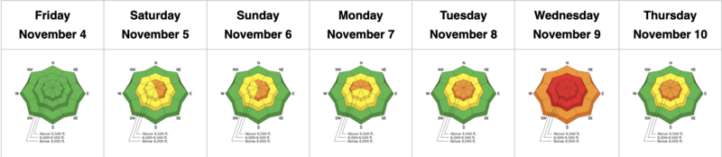
The Week in Review is centric to the Salt Lake mountains and will appear regularly by early to mid-December, but given the impressive storm cycle over this past week, we have published a special early November edition.
Recent Avalanches
No avalanches were reported yesterday, but Josh Martineau saw evidence of wind-drifted snow on the north. ridge of Maple Mountain. A large natural avalanche was reported on Wednesday off the NE Chute of Elk Point, running over 4,000' vertical down into the Primrose Cirque area above Aspen Grove. A large natural slab avalanche was also reported high on Mt Nebo.
We recommend you include reviewing all observations as part of your backcountry planning.
Ad
Avalanche Problem #1
Wind Drifted Snow
Type
Location
Likelihood
Size
Description
Developing pockets of wind drifted snow will be found along the more exposed ridgelines today, particularly on west to north to east facing slopes. These drifts will be shallow but I imagine them to be quite sensitive to the weight of a skier or rider. Gentle collapsing or shooting cracks are signs of localized instability. The danger will be limited to the wind zone today.
General Announcements

This information does not apply to developed ski areas or highways where avalanche control is normally done. This forecast is from the U.S.D.A. Forest Service, which is solely responsible for its content. This forecast describes general avalanche conditions and local variations always occur.