Forecast for the Ogden Area Mountains

Drew Hardesty
Issued by Drew Hardesty for
Wednesday, November 28, 2018
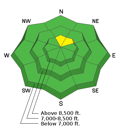
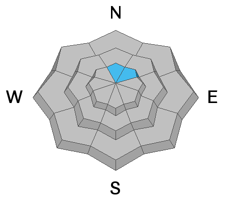
The avalanche danger is mostly LOW in the Ogden area mountains. Isolated areas of MODERATE danger exists for triggering a small slab avalanche in the highest northerly facing terrain, where some old snow may exist beneath the recent storm snow. Shallow and pockety wind drifts may start to develop in the highest elevations.
Low
Moderate
Considerable
High
Extreme
Learn how to read the forecast here
Special Announcements
Join us for the 2nd annual Ogden Backcountry Bash tomorrow! 630pm at the Front Climbing Gym. All proceeds go to support backcountry avalanche forecasting and education in the Ogden mountains. More info here.
Weather and Snow
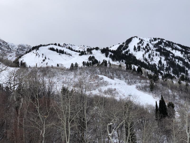
Skies are mostly cloudy with mountain temps in the upper 20s to low 30s and westerly winds blowing 15mph. Along the highest ramparts of the Ogden skyline, hourly wind speeds are 25-30mph with gusts to 40. 1-2' of snow exists in the mid and upper elevations and early season conditions exist. We may see an occasional snowflake or two with a couple inches more expected tonight. The Thursday into Saturday systems look more impressive with perhaps a foot of snow or more possible. Yesterday's photo of general snow coverage (pc: Gagne)
Recent Avalanches
No recent backcountry observations were reported for the Ogden area mountains. Snow safety teams reported that no avalanche activity was observed.
Ad
Avalanche Problem #1
Persistent Weak Layer
Type
Location
Likelihood
Size
Description
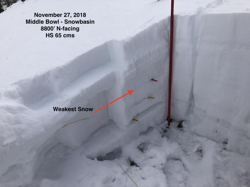
Greg Gagne spent the day with the Snowbasin snow safety team yesterday and found mostly stable conditions. His excellent report can be found here. Old October facets exist in spotty, sporadic terrain in the highest elevations but have not produced any avalanches (yet). The weakest snow they found as a potential weak layer was the lower density snow that fell on Thanksgiving. His snow pit is below. Still, with some uncertainty, one should still avoid the steep shady slopes of this terrain. Cracking and collapsing are clues of immediate instability.
Additional Information
Forecaster's Corner: Clear, cold, and calm days are great days to be in the mountains but they're also the days that do the devil's business in the snowpack, particularly at and just below the snow surface. These were exactly the conditions during Sunday/Monday's high pressure (clear, cold, calm) that fostered the development of both surface hoar (wintertime equivalent of dew) and what we call diurnal recrystallized snow AKA near-surface faceting. Makes for great skiing and riding as the snow surface remains soft and turn-able, but problematic once buried. The question now lies in whether the pendulum has swung the other direction with the last 36 hours of warm, overcast, and some wind. Have the last 36 hours atmospheric conditions destroyed the surface hoar and rounded off the sharp edges from Sunday/Monday? Greg's team found that this was the trend.
How to tell? Snow loupes can offer some insight into the evolution of the snow crystal metamorphism. Or simply being aware of the presence (or lack thereof) of surface hoar. When today's snow surface is slightly buried by a few inches of snow, the various shovel-tilt tests can reveal a lot. Resources: Birkeland, Johnson, and Schmidt's seminal paper from the mid-90s on near surface faceting is very readable here.
How to Do a Shovel-Tilt test here.