Forecast for the Ogden Area Mountains

Drew Hardesty
Issued by Drew Hardesty for
Tuesday, November 27, 2018
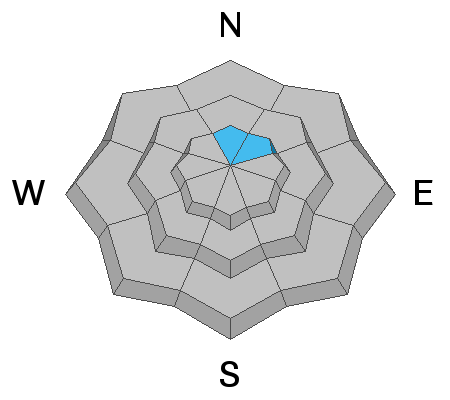
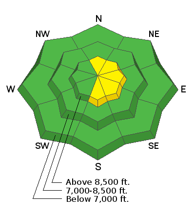
The avalanche danger is mostly LOW in the Ogden area mountains. There is a MODERATE danger for triggering a small slab avalanche in the highest northerly facing terrain, where some old snow may exist beneath the recent storm snow. The danger for human triggered wind drifts will rise to MODERATE in the upper elevations over the next couple days. Hitting rocks and stumps is almost certain.
Low
Moderate
Considerable
High
Extreme
Learn how to read the forecast here
Weather and Snow
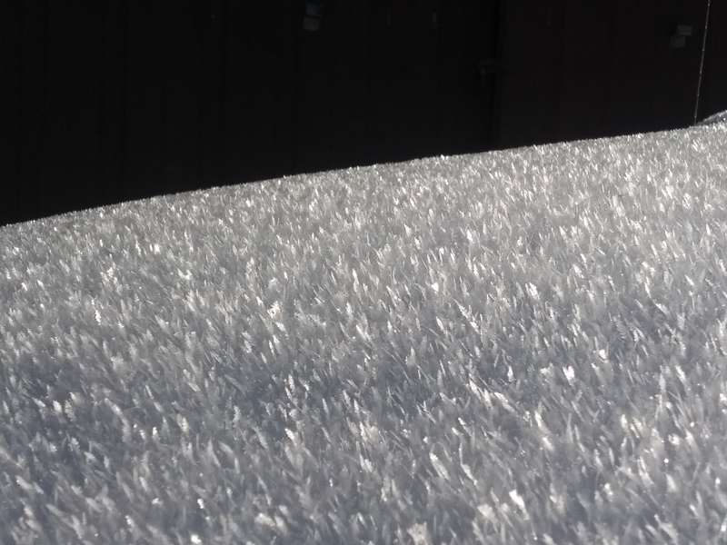
The Thanksgiving storms were a godsend for us and we now have 10-18" of settled snow to work with. Low elevations have only a few inches of snow and exits from the backcountry are a bit, uh, sporty. Skies are currently overcast with temps in the upper 20s to low 30s. West to southwest winds picked up overnight and are 15-20mph with highest anemometers spinning at 25-30mph with gusts to 35. Soft settled powder makes for soft, carveable snow, but today's snow surface may be tomorrow's weak layer. Surface hoar (pc:Keating, below) and developing weak surface snow over the past couple days of high pressure may be a headache for us in the avalanche world down the road, depending on whether this week's few inches of snow gently preserves these weaknesses. We'll see.
Looking forward, we do have a few weak weather disturbances that'll drop a trace to two tonight and again Wednesday night. Westerly winds will increase to 25-30mph along the higher ridgelines. A few more potent storms are on tap for Thursday night and into the weekend.
Recent Avalanches
No recent backcountry observations were reported for the Ogden area mountains. Snow safety teams reported that no avalanche activity was observed.
Ad
Avalanche Problem #1
Persistent Weak Layer
Type
Location
Likelihood
Size
Description
Most of the Ogden area mountains were snow free before the Thanksgiving storm. This means that many slopes do not have old, faceted snow. However, we have had reports of patchy old snow in the highest northerly facing terrain that with tests, show the propagation potential in isolated areas. I would approach any upper elevation north and northeast facing terrain with caution and for now assume there is old faceted snow that could produce a slab avalanche there. Any cracking or collapsing are bull's eye clues to instability.
Avalanche Problem #2
Wind Drifted Snow
Type
Location
Likelihood
Size
Description
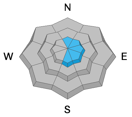
Developing west to southwest winds today may start to develop shallow wind drifts in the more exposed terrain and may be sensitive to provocation. These drifts may be triggered at a distance.
Avalanche Problem #3
Normal Caution
Type
Location
Likelihood
Size
Description
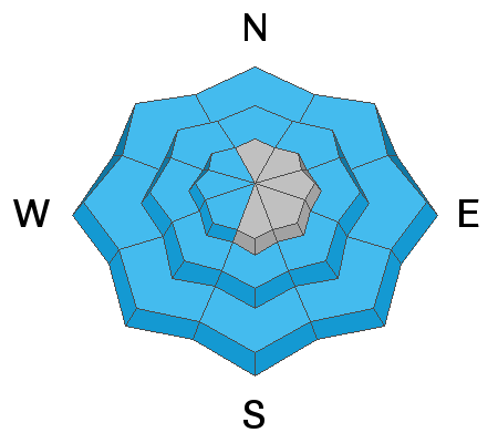
Most slopes in the Ogden area mountains were bare ground before Thanksgiving and have a low avalanche danger. Use normal caution hitting rocks and stumps remains the greatest hazard.
Additional Information
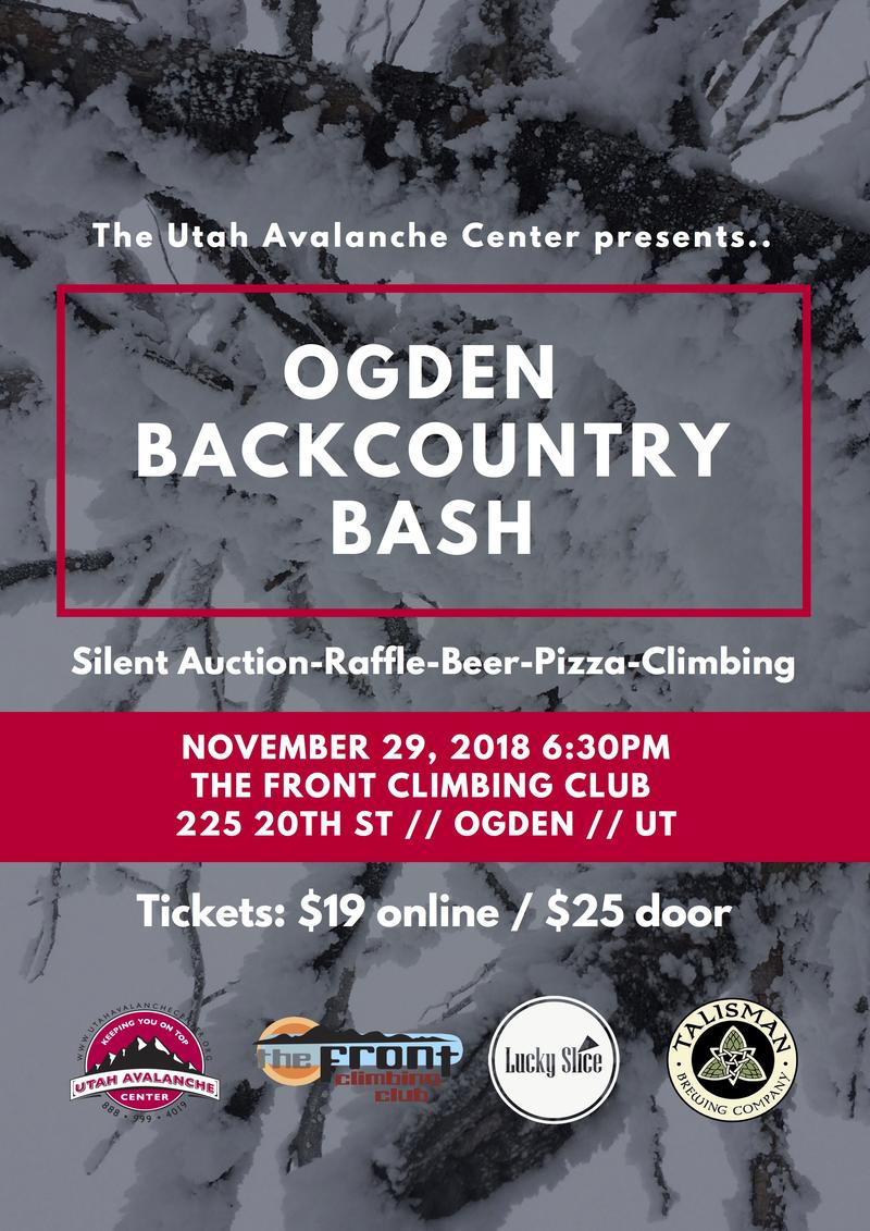
Join the UAC for the 2nd Annual Ogden Backcountry Bash at The Front Climbing Gym in Ogden.
Beer, pizza, silent auction, prizes, and climbing!
November 29
6:30 PM - 9:30 PM
The Front Climbing Club, 225 20th street, Ogden UT 84401