Observation Date
11/27/2018
Observer Name
Greg Gagne
Region
Ogden » Snowbasin » Middle Bowl Cirque
Location Name or Route
Snowbasin Periphery
Comments
The Ogden mountains had only small pockets of snow prior to the Thanksgiving storm, and this existed on upper elevation aspects facing north through northeast. The Thanksgiving storm fell on dry ground, with no persistent weaknesses underneath the recent storm snow. The weakest snow currently is a layer of facets and decomposing fragments (DFs) down 15-20 cms that fell during Thanksgiving Day, and is now underneath 1F denser slab. ECT's results would only fracture, but not propagate, on this layer. Some CT's would fracture on layer of faceted snow sitting on top of October crust, but weakest snow currently is Thanksgiving storm snow. (See profile above.)
Image below is interesting juxtaposition of photos of Snowbasin webcams taken on Wednesday Nov 21 and then Monday November 26. Grab the slider bar to navigate between the images to see the before/after snow cover.
Photos include (1) Snowpack on North aspect at 8800', (2) 2-4 mm facets sitting above October rain crust that is found on upper elevation north through northeast aspects, and various photos showing overall coverage above 7000'


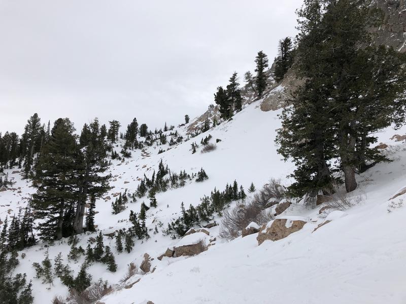
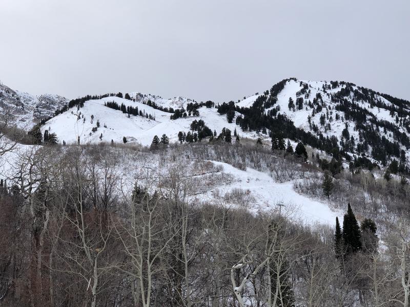
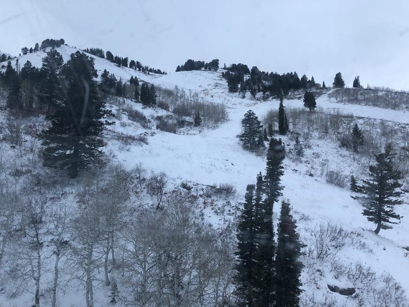
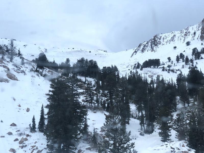
Overall Low hazard in terrain we visited today. Some areas where a Moderate hazard exists are in steep, upper elevation northerly terrain facing north through northeast where there is more of a slab on top of weaker snow where it would be possible to pull out a small pocket, but nothing connecting a larger slab. Biggest concern going forward is how mid-pack facets react to additional snow and/or wind forecasted for later this week.
Today's Observed Danger Rating
Moderate
Tomorrows Estimated Danger Rating
Moderate


