We are very proud to introduce our new website for the 2018-19 winter season. This will provide an easier and cleaner way to view all of the snow and avalanche information that you've come to rely on. We are quite happy with how the new website performs on mobile devices as well. We think you'll find the desktop or laptop experience pleasant as well. We are still tying up some loose ends so bear with us.
Check out our
BLOG with more info on our new web site and avalanche problems.
Ski resorts all have different uphill travel policies, so be sure to check the uphill policy of any ski resort before you plan on visiting. With no avalanche mitigation in place, closed ski areas are no different than the backcountry. If you are heading to a different region, make sure you check the local forecast - the avalanche danger is higher in the
Provo and
Salt Lake area mountains.
Temperatures this morning in the Ogden mountains range through the 20's F and winds are westerly and generally light, but gusting into the teens and 20's. Snow totals since Thursday are 7". Temperatures are forecasted to rise into the 30's F today with westerly winds gusting into the 20's and 30's. Snowfall - and winds - are expected to increase this afternoon with upwards of 3-6" of new snow and increasingly strong winds out of the west/southwest.
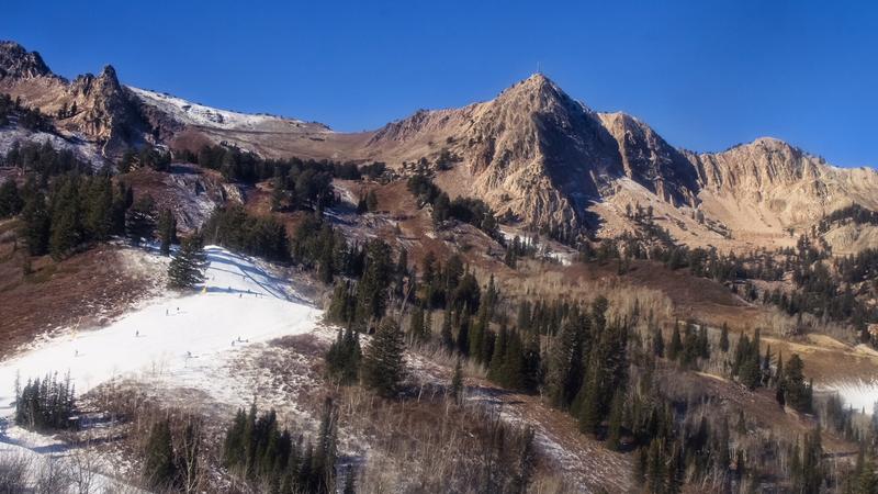
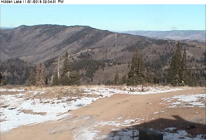
The Ogden area mountains are a whole different world from the Wasatch mountains to the south, and in a very good way. Prior to Thanksgiving, most slopes were bare, with only patchy snow on upper elevation, northerly facing slopes. Below are photos from the Snowbasin and Powder Mountain web cams taken earlier this week. The 7" of snowfall from Thanksgiving fell on bare ground.
Another view from Powder Mountain.
The photo below is from Snowbasin during Thanksgiving Day, showing the bare spots beginning to fill in!
No avalanches have been reported from the Ogden mountains.