Forecast for the Moab Area Mountains

Dave Garcia
Issued by Dave Garcia on
Thursday morning, April 6, 2023
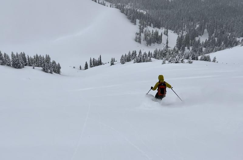
The overall danger is MODERATE. It is still possible to trigger an avalanche in recent deposits of wind drifted snow above treeline on slopes that face NW-N-NE-E. Backcountry travelers should evaluate snow and terrain carefully, and avoid recently drifted steep slopes.
Strong April sunshine will quickly heat up solar aspects today. Backcountry travelers should anticipate wet avalanche activity on South and West facing slopes. Ski or ride solar aspects early, and head to shady slopes this afternoon to stay safe.
Low
Moderate
Considerable
High
Extreme
Learn how to read the forecast here
Special Announcements
Geyser Pass Road: Grand County will be plowing the road today. Expect the gate to close around 9 AM, and to re-open sometime after noon.
Grooming: Trails were groomed into Gold Basin on Wednesday.
Weather and Snow
6:00 a.m. Snow and Weather Data
24 Hour Snow 1" 72 Hour Snow 14" Season Total Snow 315" Base Depth at Gold Basin 112"
Temp -4° F Winds on Pre-Laurel Peak: NA

Weather
It is a cold morning in Gold Basin with temperatures reading below zero. We will start to warm up today and high temperatures will reach 25 degrees. Winds are calm this morning and will blow out of the SSW at 5-10 mph today. We will see more sunshine and breezy conditions Friday and Saturday with wind speeds up to 20 mph. Sunny skies remain for Sunday and Monday, and we could see high temperatures climb into the 40's.
General Conditions
Skiing and riding conditions are phenomenal. It is hard to believe it is April. If you are able to beat the plow this morning, you will be rewarded with cold powder and sunny skies. Yes - it will be "one of those days". The wind has been surprisingly well behaved, and the bulk of the recent 14" fell with very little wind. With that said, the wind was blowing and drifting the new snow on Tuesday, and it is still possible to find wind drifted snow in the alpine that will react to the weight of a skier or rider. If you are pushing up high today, be on the lookout for, and avoid areas of wind drifted snow. Temperatures will rise about 30 degrees today, and the April sun will be out in full force. The abundance of cold, dry snow will react to this heavy dose of sunshine, and backcountry travelers should expect wet avalanche activity. Solar aspects will ski great early this morning, but you will need to get off them as they start to warm up.
Cold powder in April!

Snowpack and Weather Data
Gold Basin Storm Stake (10,000')
Gold Basin SNOTEL site (10,000')
SNOTEL site near Geyser Pass Winter Trailhead (9600')
Wind Station on Pre-Laurel Peak (11,400')
NWS forecast for the La Sal Mountains.
Recent Avalanches
No recent activity has been reported. See the La Sal avalanche database here.
Ad
Avalanche Problem #1
Wind Drifted Snow
Type
Location
Likelihood
Size
Description
On Tuesday, winds out of the Southwest were easily blowing and drifting the new, low density snow into unstable slabs above treeline. It is still possible that some of these drifts will react to the weight of a human. You are most likely to encounter a sensitive wind drift above treeline on slopes that face Northwest through East. Even a small avalanche in wind drifted snow can quickly get out of hand if you are above cliff bands or terrain traps. Be careful with your terrain choices and avoid areas of wind drifted snow.
Avalanche Problem #2
Wet Snow
Type
Location
Likelihood
Size
Description
Temperatures are on the rise and the cold, dry powder is going to get a strong shot of full-on April sunshine today. You can safely ride Solar aspects early this morning, and the snow is quite good. As the day warms up, you will need to get off the solars and head to the polars to stay safe. Expect to see sunny slopes shedding snow this afternoon. Roller-balls and snow moving down hill is a sure sign that it is time to get off solar aspects. Saturated, slushy snow is a also a red flag for wet avalanche activity.
Additional Information
This graph is from the Snotel site near the Geyser Pass Winter TH. The black line is our current season. Total SWE is 230% of normal.
General Announcements
This forecast is from the U.S.D.A. Forest Service, which is solely responsible for its content. This forecast describes general avalanche conditions and local variations always occur. This forecast will be updated by 7:30 tomorrow morning.